Mentone, Alabama
Top Spots in and near Mentone
-
Orme, Tennessee
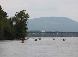
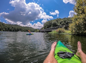
Paddle South Pittsburg to BridgeportAlabama
Take a leisurely 6.2-mile paddle along this stretch of the Tennessee River. River access via boat ramps at both ends makes this a beginner-level paddle with breathtaking views and plenty of wildlife along the way. Be sure to have a shuttle car parked at the takeout.Read more -
Chattanooga, Tennessee
Relax at Sunset Rock
4.3Sunset Rock provides spectacular access to the Bluff and Gum Spring Trails for hiking, is home to some of the top trad climbing routes in the area, and is perfect for residents and visitors alike who are seeking a great view of the Chattanooga area. Parking is allowed in a tiny lot provided on We...Read more -
Guild, Tennessee
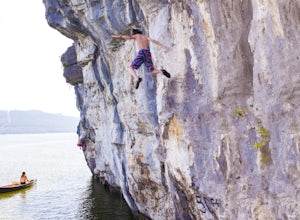
Climb Lake Nickajack
4.0Lake Nickajack has an incredible stretch of 50' limestone that is only accessible by water. The beauty of this wall is that a majority is vertical to slightly overhung, so you can ascend and at any time and just drop into the deep waters below. The limestone is covered in tufas, so plenty of op...Read more -
Lookout Mountain, Tennessee
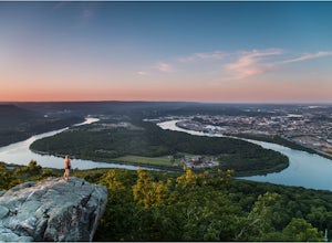
Photograph Moccasin Bend From Point Park
4.0Located in Chickamauga & Chattanooga National Military Park, Point Park is a ten acre memorial park that overlooks the Lookout Mountain Battlefield and the city of Chattanooga. There is a paved walking path around the park that takes visitors by several historic tablets, monuments, confederat...Read more -
Chattanooga, Tennessee
Mountain Bike Raccoon Mountain
5.0Raccoon Mountain is an extensive, yet newer system of singletrack that circle the TVA Raccoon Mountain pumped storage facility, just 15 minutes east of downtown. The 30 miles of trails primarily span from intermediate to advanced levels, but a few beginner friendly routes can be found as well.Gra...Read more -
Guntersville, Alabama
Kayaking at Lake Guntersville State Park
Lake Guntersville State Park is a publicly owned recreation area located on the far north side of the city of Guntersville in Marshall County, Alabama. The state park occupies 5,909 acres on the eastern shore of Guntersville Lake, a 69,000-acre impoundment of the Tennessee River. Lake Guntersvill...Read more -
Woodville, Alabama
Visit the Cathedral Caverns
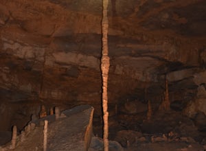
2.9 mi / 50 ft gainCathedral Caverns - The Pride of Alabama -- Located in northeastern Alabama, Cathedral Caverns offers an easy look inside an underground system of caverns. The primary trail is well-developed and wheel-chair accessible for most of its 2.9 mile length. The Caverns features many impressive sights. ...Read more -
Chattanooga, Tennessee
Bike or Run the Tennessee Riverwalk
4.013 miThe Tennessee Riverwalk is a part of the Tennessee Riverpark System that features the Coolidge Park, Renaissance Park, Ross's Landing, and the Walnut Street Bridge, all jewels of downtown Chattanooga. It is a networks of boardwalks, bridges, and paved pathways that runs alongside the Tennessee Ri...Read more -
Woodville, Alabama
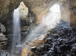
Rappel Through the Keyhole at Stephen's Gap
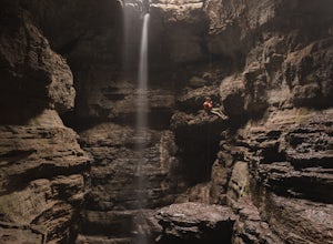
5.0Stephen's Gap is a 150 foot cave in North Alabama protected by the Southeastern Cave Conservancy. It is important note that a free permit is required to visit Stephen's Gap. Directions, parking instructions, and safety tips are distributed after your permit request is granted, but the Google addr...Read more -
Scottsboro, Alabama
Stephens Gap
4.51.38 mi / 381 ft gainThe hike is 2 miles round trip. It starts from the open space where you park. (Details on where to park when you email in the permit). There is a sign labeled as the trailhead. Trail is easily visible, but just in case you can't follow it, they have marked it with yellow flags on trees. The trail...Read more -
Chattanooga, Tennessee
Park Day at Renaissance Park
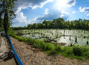
4.0Renaissance Park is a 23-acre urban wetlands park, snuggled between the Market Street Bridge and Cherokee Blvd. on Chattanooga's North Shore. This pet-friendly park features nature trails, an outdoor pavilion, public art, and more. If you're smart, you'll bring some broken down cardboard and slid...Read more -
Chattanooga, Tennessee
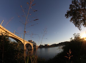
Stroll Chattanooga's Walnut Street Bridge
5.0Chattanooga's Walnut Street Bridge was once almost demolished, but instead it was revitalized to be one of the longest pedestrian bridges in the world. Connecting the Downtown Arts District to Northshore's Frazier Avenue, this bridge hosts visitors and locals year round. Whether you walk, bike, o...Read more -
Chattanooga, Tennessee
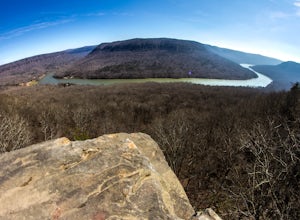
Photograph Snoopers Rock
5.0To hit one of the best panoramic views of the Tennessee River Gorge, head into Prentice Cooper State Forest and head straight for Snoopers Rock. This 6,000+ acre protected park is home to over 35 miles of trails, campsites, and so much more.To access Snoopers Rock, you can drive through Prentice ...Read more -
Chattanooga, Tennessee
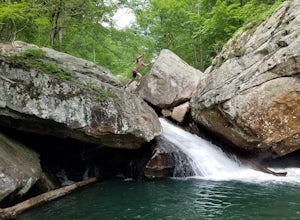
Hike and Swim at the Middle Creek Slide
3.04 mi / 200 ft gainYou park just west of the map waypoint on the wide shoulder (remember to lock your car, thefts have been reported in this area). The trailhead is really just an opening on the side of the road. Follow this to the creek and start making your way along the rocks upstream. The difficulty of the cl...Read more -
Estillfork, Alabama
Walls of Jericho via Alabama Trailhead
4.55.8 mi / 1417 ft gainAround 5pm, we hiked down the only clearly marked trail that departs from the parking lot. The path begins with gentle switchbacks and great views of the forest, occasionally passing by small waterfalls, sinkholes, and caves; and arriving at the Hurricane Creek crossing (log with handrail) after ...Read more -
Chattanooga, Tennessee
Hike to Middle Creek Falls
3.50.5 miMiddle Creek Falls, despite its proximity to the Cumberland Trail hikes, has no official designated trail. However, there is a pull-off on Suck Creek Road (informally marked by graffiti and bumper stickers adorning the guard rail) with room on either side of the street to park. The trail begins ...Read more

