
The Top 20 Backpacking Trips Near San Francisco
There's true wilderness to be found. Go find it.
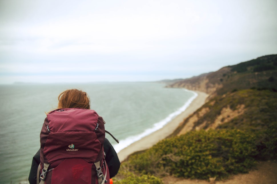
Ah, San Francisco. What a beautiful place to live, right? The Bay Area is the perfect combination of thriving city life and immediate access to world-class outdoor adventures. Of course, the whole thriving urban thing means that once in awhile, you need to escape the hustle and bustle, get the heck out of town and explore the backcountry. Lucky for San Franciscans, visitors, or nearby locals, there is an endless supply of epic trails to explore and true wilderness to be found. Whether you’re looking to knock out a quick strike mission to one of the nearby state parks or go for a long weekend escape to the Sierra, you’ll find something that does the trick for you on this list.
1. Climb Cone Peak in Big Sur Area (Sea to Sky Route)
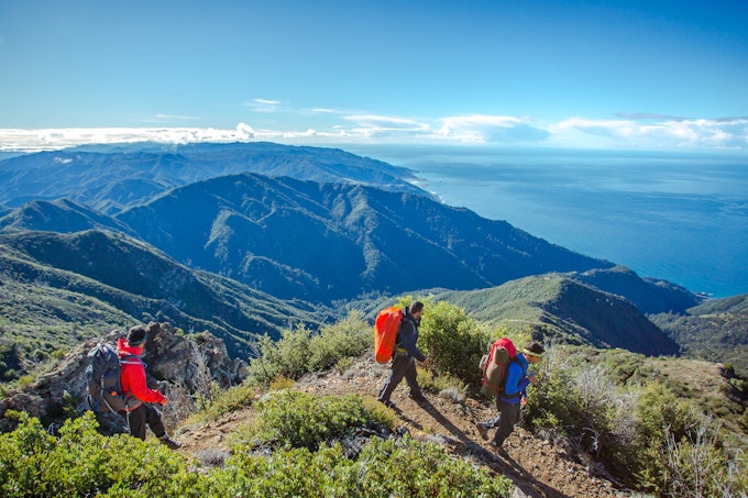
Photo: Josiah Roe
Distance: 19.72 miles
Elevation Gain: 7,484 ft
Route Type: Out-and-Back
You will be well rewarded on this strenuous coastal mountain hike with stunning views of wildflowers, a waterfall, and panoramic views overlooking the sea. While you are staying at one of the campgrounds overnight, appreciate stunning sunsets and incredible star gazing opportunities.
2. Backcountry Camp at Big Basin Sunset Trail Camp
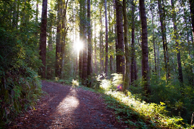
Photo: Christian Arballo
Distance: 9.46 miles
Elevation Gain: 2,146 ft
Route Type: Out-and-Back
This hike will take you along the famous Skyline-to-the-Sea trail through the lush, forested canopy of the redwood forests. Appreciate the sounds of bubbling creeks along your way and enjoy the stunning views of Big Basin’s big three waterfalls before arriving at the backcountry campsite.
3. Backpack to Pt. Reyes Coast Campground
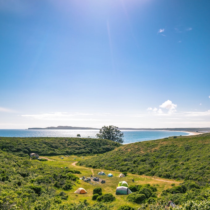
Photo: Josiah Roe
Distance: 4.02 miles
Elevation Gain: 633 ft
Route Type: Out-and-Back
Great for a beginning backpacking trip, this trail will allow you to camp just above the coast of Pt. Reyes and head down to the beach and tide pools below. Take in stunning sunset views and walk along the beach for some well-deserved solitude and relaxation out in nature.
4. Backpack the Glen Camp Loop via the Palomarin Trailhead
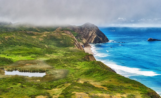
Photo: Jeff Driscoll
Distance: 15.72 miles
Elevation Gain: 3,091 ft
Route Type: loop
This loop will take you on a journey along stunning coastal views and into lush forests. As you hike you will be able to take in the wonders of diverse vegetation, coastal lakes, and cascading waterfalls.
5. Backpack the Lost Coast: Mattole to Black Sands Beach
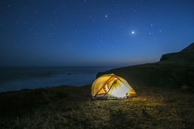
Photo: Whitney Whitehouse
Distance: 25.05 miles
Elevation Gain: 653 ft
Route Type: Point-to-Point
Enjoy 25 miles of panoramic coastline views along this backpacking trip. Appreciate trekking through varied landscapes and finding diverse wildlife. Search the ocean for whales and sea lions and look out to the wildflower-dotted fields and sandy trails for lizards and turkeys.
6. Camp on Angel Island
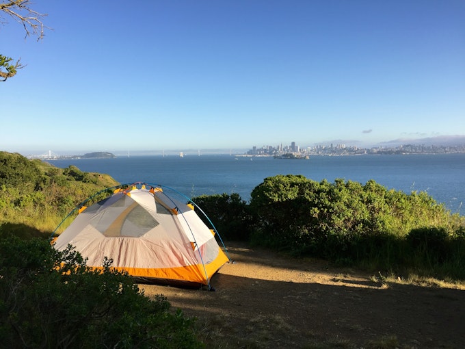
Photo: Brian Heifferon
Distance: 6.2 miles
Elevation Gain: 495 ft
Route Type: Loop
Enjoy circling the entire island in this relatively easy perimeter coastal hike. During your trip, look across the water to the city standing out in the horizon, enjoy taking in the Golden Gate Bridge from a new perspective, take a dip in the ocean, and be amazed by the brilliant sunset on the ocean.
7. Backpack to Point Reyes Wildcat Campground

Photo: Miranda Leconte
Distance: 11.19 miles
Elevation Gain: 1,926 ft
Route Type: Out-and-Back
Hike along this popular trail and take in stunning coastline views, hidden coastal lakes, eucalyptus groves, and densely packed bright green fauna. After a long day of hiking enjoy making camp in an open meadow on a bluff overlooking the sea.
8. Camp at Glacier Point (winter only)
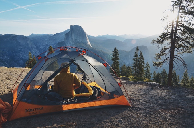
Photo: Sarah Vaughn
Distance: 9.17 miles
Elevation Gain: 3,491 ft
Route Type: Out-and-Back
Enjoy the snow-covered landscape and take in stunning views of the famed El-Capitan, Sentinel Rocks, and Yosemite Falls this hike has to offer. At to top appreciate panoramic views where you can witness the beauty of Yosemite Valley and Half Dome. After a long day of hiking, enjoy some solitude in nature at a campground by yourself.
9. Backpack Bear Valley to Coast Camp Loop
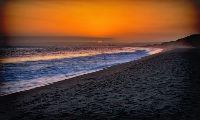
Photo: Jeff Driscoll
Distance: 16.18 miles
Elevation Gain: 2,818 ft
Route Type: loop
Take in a diverse array of landscapes that includes meadows, coastal mountains, and forests. Enjoy listening to the soft rustling of leaves and the trickling of the creek as you walk through the forest. Listen to the crashing of waves on the shore and the sand crunching beneath your feet as this hike winds you along the coast. Appreciate viewing the coast at both sea level and at the highest point in the park on this trip.
10. Backpack to Clouds Rest from Glacier Point
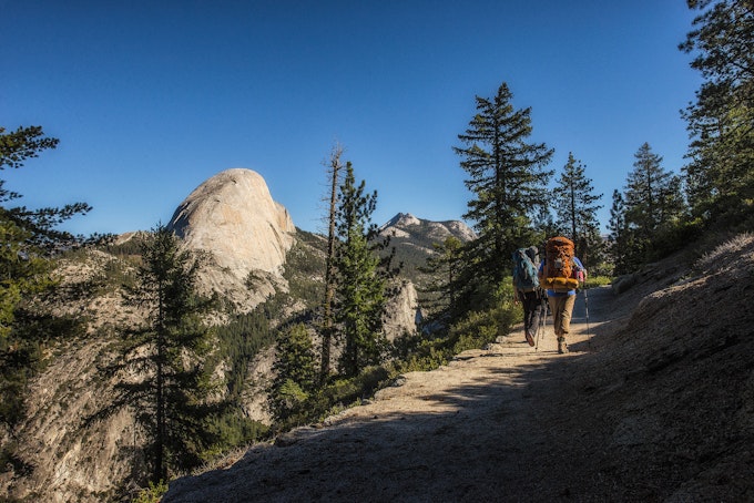
Photo: Austin Trigg
Distance: 23.85 miles
Elevation Gain: 6, 942 ft
Route Type: Out-and-Back
This hike will take you to the highest point in the valley where you will be met by panoramic views of the valley, Nevada Falls, and the high country. Along the way enjoy the beauty of Tenya Lake, the wonders of the forest, and give yourself a pat on the back after a grueling and steep climb up the Half Dome junction.
11. Backpack Sam McDonald Park
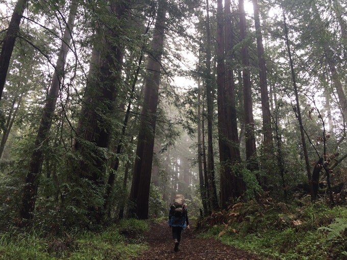
Photo: Ashley Chang
Distance: 12.19 miles
Elevation Gain: 2,192 ft
Route Type: Loop
Escape the hustle and bustle of the city by backpacking in this redwood forest park. Appreciate creeks and the sunlight glinting through towering forest canopy views throughout this hike.
12. Backpack te Redfern Pond
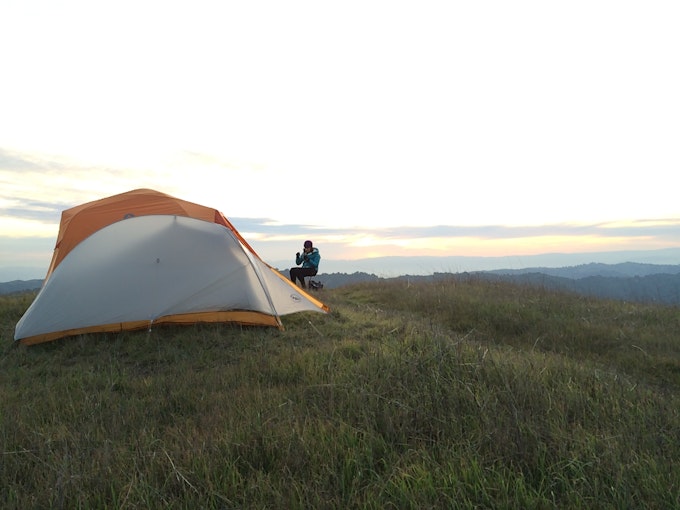
Photo: Ashley Chang
Distance: 7 miles
Elevation Gain: 1,263 ft
Route Type: Out-and-Back
This area is only a short distance away from the Bay Area and boasts views of backcountry lakes and grassy, sloping hills. Enjoy wildlife sightings in the meadows and appreciate the panoramic views from your campsite.
13. Backpack to Dewey Point from Tunnel View
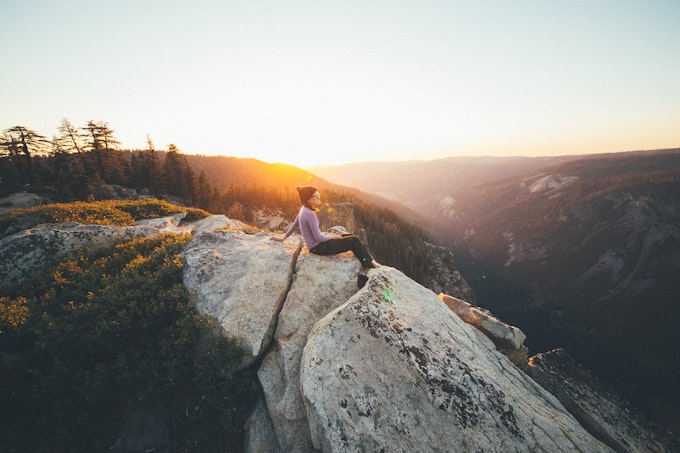
Photo: Jonathan Reed
Distance: 9.25 miles
Elevation Gain: 2,979 ft
Route Type: Out-and-Back
This backcountry trip allows you the opportunity to camp on the bare rock of Yosemite’s South Rim and appreciate gorgeous views of the Sequoia Forest at sunset. Along your way, look out across the valley towards El Capitan and Cathedral Rocks, walk across streams, and trek through impressive forest scenery.
14. Backpack to Pat Springs
Photo: Max Berger
Distance: 13.18 miles
Elevation Gain: 3,645 ft
Route Type: Out-and-Back
Head into the Ventana Wilderness for a remote experience where you will be surrounded by gorgeous vistas, fields, trees, and beautiful summit outlooks. Camp on the ridge and enjoy the beautiful scenery overlooking Big Sur and the San Lucia Mountains.
15. Backpack the Pine Ridge in Big Sur, North Ridge Coast Loop
Photo: Chris DeAntonio
Distance: 33.45 miles
Elevation Gain: 11,388 ft
Route Type: Loop
Head into Los Padres National Forest where you will get the chance to hike through diverse terrain from the redwood forest to the coastal ridgeline. Appreciate the bright, lush greens of the forest, the brilliant views of the ocean stretching into the horizon, and impressive waterfalls.
16. Backpack to the Ventana Wilderness’ Sykes Hot Springs
Photo: Blake Maitoza
Distance: 18.96 miles
Elevation Gain: 7,339 ft
Route Type: Out-and-Back
The rushing Big Sur River, dense forests, and views of the valley below will greet you as you begin this moderately challenging hike. At the end of the day, reward yourself for a hard day’s work trekking through the trees by visiting the three hot springs near your campsite.
17. Winter Backpack to Sentinel Dome in Yosemite
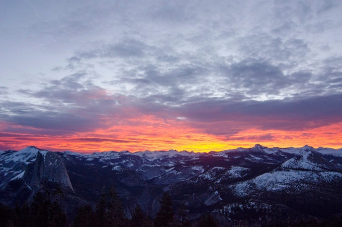
Photo: Kyle Frost
Distance: 19.23 miles
Elevation Gain: 860 ft
Route Type: Out-and-Back
Appreciate the beauty and adventure Yosemite National Park has to offer with this winter backpacking trip. Enjoy the trek up to your campsite by snowshoeing or cross-country skiing. Your campsite will offer stunning panoramic views, especially at sunset, of the snow-topped mountain peaks stretching out in front of you.
18. Backpack to Bear Lake Emigrant Wilderness
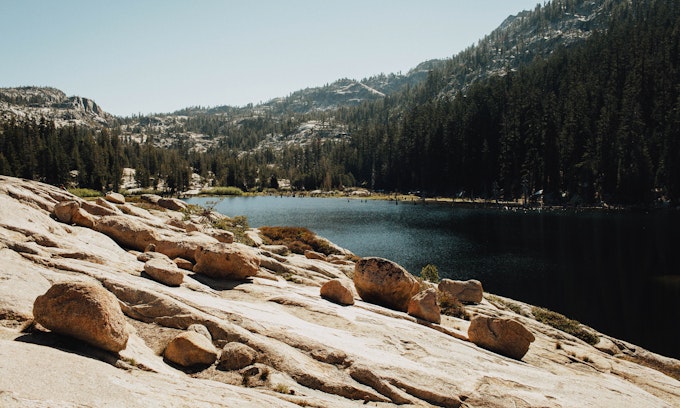
Photo: Greg Balkin
Distance: 8.34 miles
Elevation Gain: 705 ft
Route Type: Out-and-Back
This hike offers a small creek and waterfall, a rocky trail, and stunning views of the surrounding forested peaks. When you arrive at your campsite, go for a cold dip in the water or watch the sunset over the lake.
19. Backpack to Little Yosemite Valley Campsite and Hike Half Dome
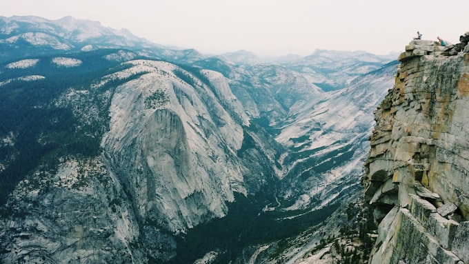
Photo: Eddie Jo
Distance: 13.88 miles
Elevation Gain: 4,800 ft
Route Type: Out-and-Back
As you hike to the valley, enjoy the beautiful scenery and two waterfalls along your way. As you head towards the half dome, experience the fun adventure of gripping cables and heading straight up the side of it towards the summit. At your campsite, appreciate the views of Yosemite around you and enjoy the babbling of the river near you.
20. Backpack to Goat Camp in Big Sur
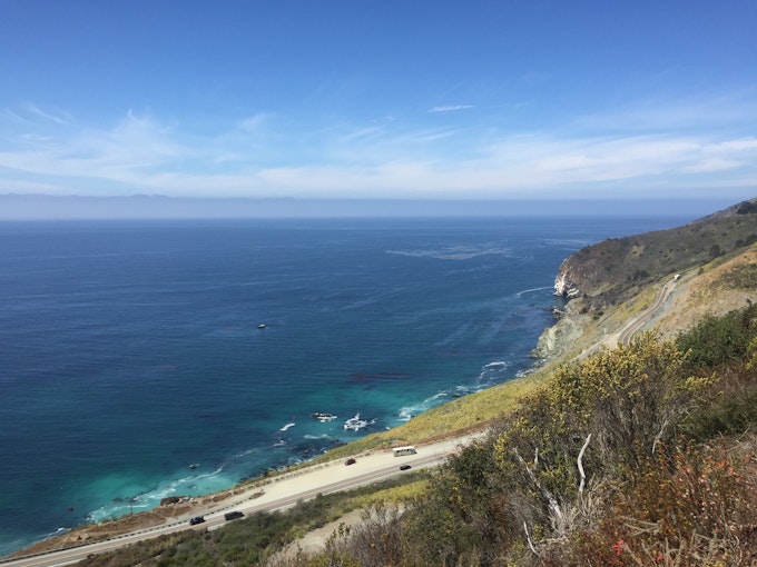
Photo: Andrew Conway
Distance: 9.2 miles
Elevation Gain: 3,852 ft
Route Type: Out-and-Back
If you are looking for a difficult, less trafficked trail, this is the hike for you. Along the way take in the spectacular views. Get lost in the wonders of mother nature as you hike through ivy-covered forest floors, look out at the ocean from the coastal ridgeline, and trek across prairie grass fields.
Cover photo: Miranda Leconte
We want to acknowledge and thank the past, present, and future generations of all Native Nations and Indigenous Peoples whose ancestral lands we travel, explore, and play on. Always practice Leave No Trace ethics on your adventures and follow local regulations. Please explore responsibly!
Do you love the outdoors?
Yep, us too. That's why we send you the best local adventures, stories, and expert advice, right to your inbox.


