Martigny, Switzerland
Top Spots in and near Martigny
-
Zermatt, Switzerland
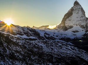
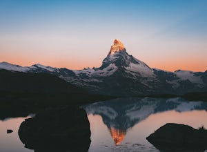
Explore The Matterhorn
5.0The Matterhorn straddles both Switzerland and Italy and is one of the most beautiful peaks you can shoot. The summit sits at 14,692 feet, making this one of the tallest peaks in Europe.There's an abundance of mellow hikes around the area - check a map in Zermatt for a trail that suits you or just...Read more -
Leukerbad, Switzerland
Hike Majing Lake
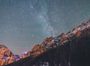
2.5 mi / 656.2 ft gainIf you want to get great night views on your hike out, start at 2 am in the village of Leukerbad. There's parking at "Obere Maressen", which is also the starting point. Follow the track to Majingsee. There are multiple routes to the lake but make sure to stay on this trail - it's definetely the b...Read more -
Leukerbad, Switzerland
Explore Dala Gorge
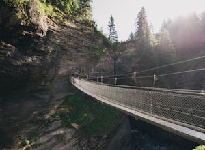
Start at "Obere Maressen" and follow the walkway through the forest. You'll find detailled informations at a clearing just before the gorge.The bridges leading through the gorge are safe to use, but that doesn't mean you won't need to be careful. Make use of the numerous viewing platforms and ben...Read more -
Leukerbad, Switzerland
Hike and Climb Daubenhorn
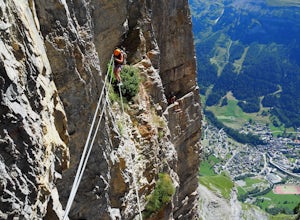
5.01.2 mi / 3280.8 ft gainThere are many Via Ferratas in the European Alps. They provide a unique way to get to some impressive places with minimal equipment and climbing skills. A Via Ferrata is a protected climbing route, made of steel. You secure yourself to cables (using a special attachment on your harness) and climb...Read more -
Zermatt, Switzerland
Photograph the Matterhorn
5.0Take the underground cable car from Zermatt Sunnegga valley station. At Sunnegga, take the gondula to Blauherd. Stelli Lake (look out for Stellisee) is only about 15 minutes from Blauherd station.Thousands of photos have been taken at Stellisee, so add a few more to that number. Stelli Lake featu...Read more -
Zermatt, Switzerland
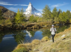
Hike to Grindjisee
1.8 mi / 150 ft gainNestled at the end of a long valley, the village of Zermatt is constantly dwarfed by the tooth-shaped Matterhorn. You can virtually hike anywhere around Zermatt and see the Matterhorn, but there are some places that offer better views than others. One of those places is a small lake called Grindj...Read more -
Randa, Switzerland
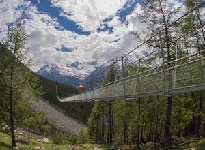
Hike to the Charles Kuonen Suspension Bridge
5.4 mi / 3280.8 ft gainTechnical specificationsLength: 494m / Height: 85m / Elevation: 2080m above see level / Time to cross: 10 min The bridge is located in the Swiss Alps, near the village of Randa, where you start the hike. It says 4h for the loop, but it takes less time if you're a good hiker. The normal route is a...Read more -
Boëge, France
Hike to Signal des Voirons
Begin at the marked path to the right of the parking lot, near the monastery. The trail is steep at first, but this lasts only for a few meters, in the undergrowth. When you leave the woods, follow the paved road for about one hundred meters, then turn left at the slope, indicated by an arrow sig...Read more -
Beaufort, France
Snowshoe the Cormet de Roselend
18.6 mi / 2986 ft gainThe Roselend mountain pass is known in the cycling world for being part of the Tour de France, but in the winter it is essentially deserted. There are a few old buildings, a small electrical station and you'll perhaps see some locals out for a ski, but my bet is you'll feel magnificently alone in...Read more -
Kandersteg, Switzerland
Hike over Bunderchrinde Pass in the Bernese Alps
5.010 mi / 4000 ft gainThe hike starts in the town of Kandersteg and ends in the town of Adelboden. If you want to make it an out-and-back, you can hike from Kandersteg to Bunderchrinde Pass then back down.Getting to Kandersteg from any major city by train is easy. From the train station, follow the "yellow" signs to B...Read more -
Kandersteg, Switzerland
Hike Oeschinensee Lake and Blumlisalp Hut
4.06 mi / 2000 ft gainWords and photos cannot accurately depict the beauty you will find in this area. The breathtaking emerald waters of Oeschinen Lake are the highlight of this incredible hike that requires little effort reach. The surrounding Alps provide and unbeatable backdrop, and in warmer months, multiple wate...Read more -
Rhemes-notre-dame, Italy
Ski Touring Punta Galisia from the Rifugio Benevolo
Park your car as far up the road in the Rhemes Notre Dame valley as the snow will allow. The road turns to trail at Thumel (1,879m) where there is a car park but be prepared to park alongside the road further down the valley at Pelaud (1,811m) or Bruil (1,723m). From here, skin up the valley to t...Read more -
Saas-Grund, Switzerland
Hike the Almageller Höhenweg
6.9 mi / 689 ft gainGetting ThereStart your tour in Saas-Grund at the bottom station of the Hohsaas cableway. In summer, it costs you only 7 Swiss Francs there to park your car for the day. Then take the cable car up to the middle station (Kreuzboden) where your hike will begin.Hint: If you are staying in the Saas V...Read more -
Kandersteg, Switzerland
Oeschinensee Panorama Loop, Hohtürli, and Wildi frau
10 mi / 3854 ft gainBrass Tax: Length – Variable by choice Elevation Gain – 3,584 ft Time – 4+ hours – 2 days Stay – 47-84$ / night Difficulty – Difficult Hohtürli in Swiss German means “High Little Door”. This pass sits at an elevation of 2,778 meters (9,114 feet) in the Bernese Oberland. Making it the highest pas...Read more -
Tignes, France
Hike to Lac La Plagne in the French Alps
7.5 mi / 1968.5 ft gainThis beautiful hike features ribbon and horse tail waterfalls backdropped behind wildflowers and grazing dairy cows along the creek descending the mountain. Though there are some steep sections to the hike, this day outing is accessible by all levels of adventurer.Getting thereAfter a short driv...Read more -
Talloires-Montmin, France
Hike and Camp La Tournette
3.9 mi / 2854.3 ft gainIt is at the place called Chalet de l'Aulp (1424 m) that we began this walk. This is after the tarmac road terminus. A small remark: the stony road but carrossable continues to the chalet where you can park your car. But you can also start it from a place called Les Prés Ronds (1216 m). At the ch...Read more

