Ashburton Lakes, New Zealand
Looking for the best photography in Ashburton Lakes? We've got you covered with the top trails, trips, hiking, backpacking, camping and more around Ashburton Lakes. The detailed guides, photos, and reviews are all submitted by the Outbound community.
Top Photography Spots in and near Ashburton Lakes
-
Ashburton Lakes, New Zealand
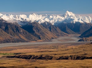
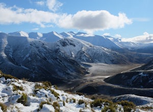
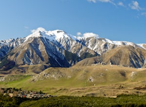
Hike to the Summit of Mt. Guy
6.2 mi / 2139.1 ft gainPark at the Lake Clearwater trailhead where you are immediately greeted by some of the best alpine views in New Zealand. The hiking track follows the lake shore around the west end before breaking off to the right and ascending Mt Guy in typical New Zealand fashion, without switchbacks. After a l...Read more -
Ashburton Lakes, New Zealand
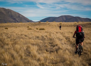
Mountain Bike to Boundary Creek Hut
The track to Boundary Creek Hut follows an old 4WD track for about 9 km () with minimal height gain on the way in. Not long into the ride, you will pass another 4WD track with marker poles – this heads to the Garden of Eden (not the glacier one), so keep on the main track.About 2 km (1.2 miles) f...Read more -
Ashburton Lakes, New Zealand
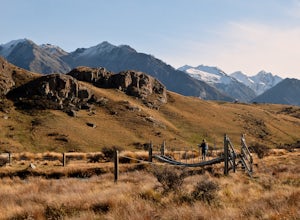
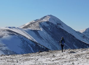
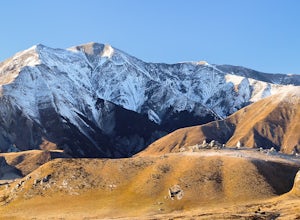
Hike to the Summit of Mt Sunday
4.02.2 mi / 328.1 ft gainFrom the car park follow an old road track / stream bed until it narrows into a scenic walking track. Cross the swing bridge and ascend the south side of the mountain to its picturesque summit. Alpine views abound in all directions. It's easy to see why it was selected as a LOTR set location.This...Read more -
Lake Tekapo, New Zealand
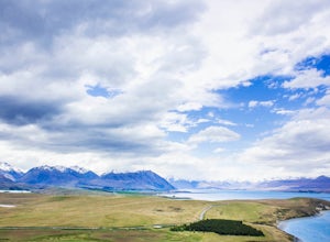
Hike the Mount John Walkway
From the lakefront, walk left until you reach the trailhead. It takes around 1-1.5 hours to walk it at an average pace. The track is on privately owned land, so expect for sheep to be nearby at all times.You can mountain bike the trail if you wish to. The trail varies from long, drawn out section...Read more -
Springfield, New Zealand
Hike the Trig M Trail
4.02.1 mi / 1509.2 ft gainThe hiking trail first ascends a hillside to about 1,500 meters. It then follows the crest of a ridge in a southwest direction until you reach the "trig", a marker used in geographical survey. The maintained track ends here but hikers wanting more can continue traveling cross country to Rabbit Hi...Read more -
Springfield, New Zealand
Hike Foggy Peak and Castle Hill Peak
5.08.1 mi / 3280.8 ft gainPark in the gravel roadside parking area at the highpoint of Porters Pass. Follow the faint use path up the lower scree slopes of Foggy Peak northward towards the summit. Upon reaching the summit of Foggy Peak the alpine traverse to Castle Hill Peak becomes obvious. The hike between the two peaks...Read more -
Springfield, New Zealand
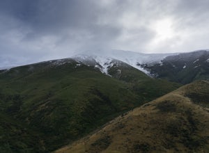
Hike to Foggy Peak Summit
5.02 mi / 3280.8 ft gainThe Foggy Peak trail is an unmarked path leading from the carpark at the top of Porters Pass to the summit of Foggy Peak. The clouds can get very low here so be sure to bring a GPS or be knowledgeable in the mountains. From the carpark just duck under the fence and head on up to the top. The way ...Read more -
Castle Hill, New Zealand
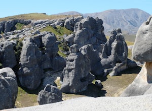
Hike and Climb at Castle Hill
3.52 miFollow the footpath from the car park. You will quickly arrive at Castle Hill, famous for it's incredible array of giant limestone formations. There is no official path so you are free to wander the maze of rocks. Look for arches and even signs of ancient Maori inhabitants. Its fun to climb among...Read more -
Castle Hill, New Zealand
Climb Mt. Cloudsley
5.08.7 mi / 3937 ft gainPark at the Hogsback Trailhead in Castle Hill Village. Follow the Hogsback trail by staying to the right at both upcoming "Y" intersections. Once you reach the bush edge, Long Spur and Mt Cloudsley come into view. Break off from the trail aiming for the toe of Long Spur. Then climb along the cres...Read more -
Castle Hill, New Zealand
Hike Mt. Cheeseman
9.9 mi / 4265.1 ft gainFollow the Hogsback Track until you reach the clearing just after the Waterfall Creek crossing. Hike through the clearing towards the toe of Mt Cheeseman's east ridge.Work your way up the ridge by linking a network of tussock slopes, ledges, scree slopes snow patches and crumbly rock. Eventually ...Read more -
Kokatahi, New Zealand
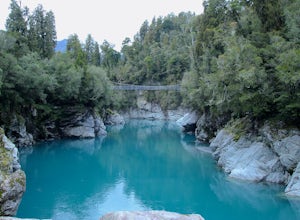
Explore Hokitika Gorge
4.0From the carpark follow the signs to the gorge. The trail goes through the forest for approximately 10 minutes downhill before reaching the swing bridge which spans the gorge. After the bridge you can continue walking down to another viewing platform and opportunity to go further down, closer t...Read more -
Westland National Park, New Zealand
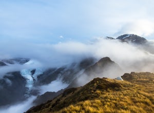
Camp on Alex Knob
4.011 mi / 3800 ft gainFrom Highway 6 on the New Zealand South Island's west coast, take the Glacier Access Road for 2km to where the signposted Alex Knob track begins. There will be a obvious parking lot on the right.The trail begins at the parking lot breaks off to the left from the Lake Wombat trail about a half-mil...Read more -
Westland National Park, New Zealand
Hike to Franz Josef Glacier
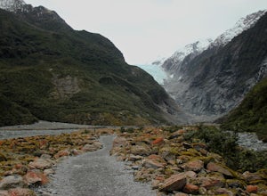
4.0From the carpark take a quick walk through a green, forested area before making your way into the valley. Here you will get your first view of the glacier. At this point the trail gets a bit rocky but is still very doable. The trail continues mostly flat for the next 35 minutes. You will pass ...Read more -
Westland National Park, New Zealand
Hike to Robert's Point (Franz Josef Glacier)
5.07.6 mi / 1640.4 ft gainThis trail is one of my favorite in New Zeanand. It wasn't so much 'built' as it was 'discovered'. The trail follows natural erosion and clean exposed flows of glacier carved granite walkways.You will enjoy thick, green rainforest, the reflective water of Pete's Pond, and a few long swinging brid...Read more -
Westland National Park, New Zealand
Explore Peter's Pool
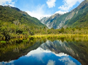
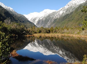
From the carpark for Franz Josef Glacier, Peter's Pool is signposted to the left near the toilets. The walk takes you through a fern and beech forest, eventually dropping you in front of the gorgeous and reflective Peter's Pool. Snap a few photos and then return the way you came or continue along...Read more -
Westland National Park, New Zealand
Watch the Sunset from the Waiho River Bridge
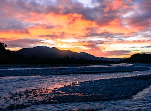
The Waiho River is a glacial fed river from the spectacular Franz Josef Glacier. The main road to get there is Highway 6, which becomes a long single-lane bridge when it crosses the river. If you find yourself staying in the small town of Franz Josef over night then you should make the short walk...Read more

