White Cloud
Book this listing through our partner Recreation Gov
About White Cloud
Overview
White Cloud Campground is located in the Tahoe National Forest along Highway 20 near Nevada City. The area provides a great escape from urban life.Recreation
The Pioneer Trail stretches 25 miles through the Tahoe National Forest and can be accessed from the campground. The popular path was designated a National Recreation Trail in 2003. Horseback riding, hiking, mountain biking and cross-country skiing are favorite activities on this popular trail.Facilities
The campground offers several single-family sites, a few of which are designated for tent camping only as well as one double site. Each site is equipped with a picnic table and campfire ring. Flush toilets and drinking water are provided.Natural Features
The campground is situated in a forest of cedar, pine, and Douglas fir trees, at an elevation of 4,200 feet.Nearby Attractions
White Cloud Campground is located on the Highway 20 portion of the Yuba Donner Scenic Byway near many gold rush era historical sites and old mining towns such as Washington and Nevada City. Nevada City, about 14 miles west, is a scenic historical mining town with many historical attractions, top notch restaraunts, various lodging options, shopping, and stores for everything you may need. Other attractions include the Pioneer Trail, South Yuba River, Washintong Scenic Overlook, Alpha and Omega Scenic Overlook and Interpretive Trail, Rock Creek Nature Trail, Chalk Bluff OHV trails, and Grouse Ridge Non-Motorized Area.White Cloud Reviews
Have you stayed here? Be the first to leave a review!
Top Spots in or near Nevada City
Hike the Diggins Loop Trail
Nevada City, California
5.0
2.7 mi
Check in and pay for your parking or present California State Parks Pass at the museum building in North Bloomfield. After paying for parking there are several different options to get onto the Diggins Loop trail. Access to the Diggins Loop trail can be found by the Park Headcounters by jumping onto the Church Trail. Access to the loop trail is also found at the Diggins Overlook. Dogs are n...
South Yuba River: Edwards Crossing to Purdon Crossing
Nevada City, California
5.0
4.2 mi
/ 639 ft gain
South Yuba River: Edwards Crossing to Purdon Crossing is a point-to-point trail that takes you by a river located near North San Juan, California.
Swim at Edwards Crossing on the South Yuba River
Nevada City, California
5.0
2.74 mi
/ 1302 ft gain
There are endless swimming holes on the South Yuba River the feature crystal clear water, massive granite boulders and pristine pocket beaches, particularly those lower in the foothills. Many are separated by sections of rapids, but can be reached via the growing trail system of the South Yuba River State Park.
The Edwards Crossing swimming hole, just upstream from the single-lane arch-truss E...
Take a Family Ride
Nevada City, California
4.5
Well if you start at Banner Lava Cap and Gracie Roads then you will see the canal at the top of Gracie Rd. Hop onto the berm of the canal and head north {upstream}. The trail is dirt and about 4 ft wide in the beginning and widens to 6 to 8 ft for most the way . Continue upstream on the canal and in .3 mile you will pass through a gate that has a walking access that’s too tight to get handle ba...
Emerald Pools
Nevada City, California
4.0
0.68 mi
/ 49 ft gain
Emerald Pools is an out-and-back trail that takes you by a river located near Emigrant Gap, California.
Bowman Road and Meadow Lake Road to Henness Pass
Nevada City, California
3.0
35.45 mi
/ 4895 ft gain
Bowman Road and Meadow Lake Road to Henness Pass is a point-to-point trail that takes you by a lake located near Alta, California.
Camping and Lodging in Nevada City
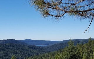
Horse Camp Road
Skillman
Overview
Skillman Campground caters to campers with horses, but is available to groups and individuals without horses as well. It is loca...
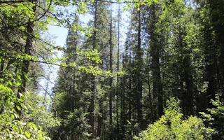
Emigrant Gap, California
North Fork (Ca)
Overview
North Fork Campground is located along the North Fork of the North Fork American River in the Tahoe National Forest, off of Inte...
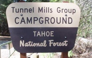
Colfax, California
Tunnel Mills Ii
Overview
Tunnel Mills Group Campground is located along the East Fork of the North Fork of the North Fork American River in the Tahoe Nat...
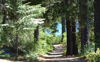
Foresthill, California
Giant Gap
Overview
Giant Gap Campground is located on the north shore of Sugar Pine Reservoir, in the Tahoe National Forest. It is just 15 miles fr...
Camptonville, California
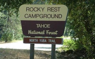
Rocky Rest
Overview
Rocky Rest Campground is located off of Highway 49, in the North Yuba River area near Downieville. Visitors enjoy a wide variety...
Camptonville, California
Indian Valley
Overview
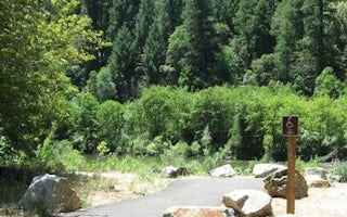
Indian Valley Campground is located alongside the North Yuba River just off Highway 49, about 11 miles west of Downieville. Visi...
Unfortunately, we don't have up-to date pricing data for this listing, but you can check pricing through Recreation Gov.
Book NowAdd your business today to reach The Outbound's audience of adventurous travelers.
Community
© 2024 The Outbound Collective - Terms of Use - Privacy Policy


