Indian Valley
Book this listing through our partner Recreation Gov
About Indian Valley
Overview
Indian Valley Campground is located alongside the North Yuba River just off Highway 49, about 11 miles west of Downieville. Visitors enjoy a wide variety of recreational activities in the area, including hiking, biking, hunting, fishing, white water boating, and gold panning. This facility is operated and maintained by the Tahoe National Forest.Recreation
The North Yuba River offers swimming, wading, and rainbow trout fishing. Seasonal rafting, kayaking and tubing are also popular water activities. A network of trails for hiking, mountain biking, and motorcycle singeltrack criss-crosses the surrounding area including the Yuba River, Halls Ranch, and Butcher Ranch trails and the Downieville Downhill.Facilities
The campground offers both single and double family campsites. Each site is equipped with a picnic table and campfire ring. Vault toilets and drinking water are provided.Natural Features
The campground sits on the north bank of the North Yuba River. Tumbled rock piles from early gold dredging activity are scattered around the campground. A forest of oak, fir, pine and madrone trees provides ample shade. Many sites have views of the river.Nearby Attractions
Indian Valley Campground is located on the Yuba Donner Scenic Byway (Highway 49) near many gold rush era historical sites and old mining towns such as Camptonville, Goodyears Bar, and Downieville. Many points of interest lie along Highway 49 and are part of the 49 miles of Highway 49 driving tour; look for interpretive signs and other historical sites along this tour route. Other attractions include the North Yuba River, Indian Valley Outpost, New Bullards Bar Reservoir, Downieville, and a network of miles of motorcycle singletrack.Indian Valley Reviews
Have you stayed here? Be the first to leave a review!
Top Spots in or near Camptonville
Hike the Diggins Loop Trail
Nevada City, California
5.0
2.7 mi
Check in and pay for your parking or present California State Parks Pass at the museum building in North Bloomfield. After paying for parking there are several different options to get onto the Diggins Loop trail. Access to the Diggins Loop trail can be found by the Park Headcounters by jumping onto the Church Trail. Access to the loop trail is also found at the Diggins Overlook. Dogs are n...
South Yuba River: Edwards Crossing to Purdon Crossing
Nevada City, California
5.0
4.2 mi
/ 639 ft gain
South Yuba River: Edwards Crossing to Purdon Crossing is a point-to-point trail that takes you by a river located near North San Juan, California.
Swim at Edwards Crossing on the South Yuba River
Nevada City, California
5.0
2.74 mi
/ 1302 ft gain
There are endless swimming holes on the South Yuba River the feature crystal clear water, massive granite boulders and pristine pocket beaches, particularly those lower in the foothills. Many are separated by sections of rapids, but can be reached via the growing trail system of the South Yuba River State Park.
The Edwards Crossing swimming hole, just upstream from the single-lane arch-truss E...
Hike the Independence Trail
Nevada City, California
4.5
Starting from the free easy access parking lot right off highway 49 you head left up the trail. You will notice two trails side by side, one wider path for wheelchair access and another slightly narrower path for hikers on foot.The trail is set on the cliff side overlooking the South Fork of the Yuba River and has many scenic view points along the way. Much of the trail is shaded by lush vegeta...
Sierra Buttes Lookout Trail
Sierra City, California
5.09 mi
/ 1365 ft gain
Sierra Buttes Lookout Trail is an out-and-back trail where you may see beautiful wildflowers located near Sierra City, California.
Backpack to Lower Rock Lake
Nevada City, California
3 mi
/ 713 ft gain
This adventure begins at the Lindsey Lake Campground parking lot (6,200 feet) where you leave your vehicle, takes you three miles up a trail rife with amazing photo opportunities and seasonal wildlife, and ends on the shore of Lower Rock Lake. Here you will find a dispersed camping site owned by the Pacific Gas & Electric Co. that includes a firepit and log seating right next to the lake it...
Camping and Lodging in Camptonville
Camptonville, California
Fiddle Creek
Overview
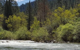
Fiddle Creek Campground is located alongside the North Yuba River, just off Highway 49, about 12 miles from Downieville. Visitor...
Camptonville, California
Carlton
Overview
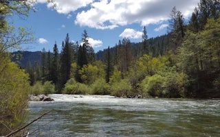
Carlton Campground is located along the North Yuba River, adjacent to Highway 49 and 13 miles from Downieville. Visitors enjoy a...
Camptonville, California
Cal Ida
Overview
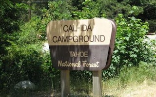
Cal-Ida Campground is located on Highway 49, across the road from the North Yuba River and 13 miles from Downieville. Visitors e...
Camptonville, California
Rocky Rest
Overview
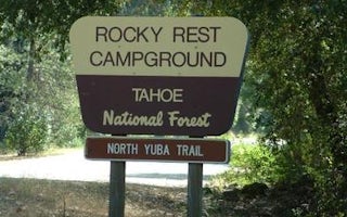
Rocky Rest Campground is located off of Highway 49, in the North Yuba River area near Downieville. Visitors enjoy a wide variety...
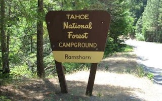
Alleghany, California
Ramshorn
Overview
Ramshorn Campground is located off of Highway 49, in the North Yuba River area west of Downieville. Visitors enjoy a wide variet...
Strawberry Valley, California
Horse Campground
Overview
Horse Camp is located on the eastern shore of the Little Grass Valley Reservoir, giving visitors ample opportunity to fish, swim...
Unfortunately, we don't have up-to date pricing data for this listing, but you can check pricing through Recreation Gov.
Book NowAdd your business today to reach The Outbound's audience of adventurous travelers.
Community
© 2024 The Outbound Collective - Terms of Use - Privacy Policy


