John F Kennedy
Book this listing through our partner Recreation Gov
About John F Kennedy
Overview
John F. Kennedy Campground is located on the Little Red River just downstream of Greers Ferry Dam in the beautiful Ozark Mountains of north-central Arkansas.In his last major appearance before his death, President John F. Kennedy stood on a flag-draped platform overlooking the just-completed Greers Ferry Dam and spoke of the prosperity the lake would bring to the region.
Today, a million visitors flock yearly to the scenic waters for family camping, fishing, boating and hiking.
Recreation
Greers Ferry Lake is an outdoor enthusiasts' dream, with boating, sailing, water skiing, swimming, scuba diving and fishing opportunities. Hikers enjoy the area's three National Nature Trails and one multi-purpose, fitness trail.The William Carl Gardner Visitor Center is just west of the dam, with exhibits, a children's touch table, and a replica of the world record 40 lb. 4 oz. brown trout caught in the Little Red River downstream of the center.
Facilities
This campground offers 73 sites with electrical hookups, 13 of which also have water hookups. Additional amenities include flush toilets, showers, a dump station, picnic shelter and a boat ramp.Natural Features
A dense mix of red cedar, black gum, red oak, elm, pecan and sweet gum trees forest the area, providing shade in the summer months and beautiful fall colors in autumn.Wildlife is plentiful around Greers Ferry Lake. Visitors commonly see white-tailed deer, wild turkeys, rabbits, squirrels and a wide variety of birds.
Nearby Attractions
With over 30,000 acres of water surface, the lake serves as a playground for all kinds of water sports. Eighteen parks around the shoreline provide modern campgrounds, boat ramps, swim areas and marinas.John F Kennedy Reviews
Have you stayed here? Be the first to leave a review!
Top Spots in or near Heber Springs
Paddle the Little Red River
Heber Springs, ArkansasThe Little Red starts at the base of Greers Ferry Dam. This river is crystal clear and is stocked with trout. Water temperature stays at around 46° F, so there is always a dense fog over the water creating a beautiful gloss over the area. Over time pieces of mountain have made their way down in and around the water, which looks absolutely amazing under water!
Sulphur Creek Trail
Heber Springs, Arkansas
9.1 mi
/ 180 ft gain
The Sulphur Creek trail in Heber Springs is a multi-use trail that is approximately 9.1 miles point-to-point. The trail primarily follows the Right of Way of the old M&NA railroad lines through the community of Heber Springs.The majority of the trail is a 10-foot wide paved asphalt trail that winds to forests and open pastures. Some short sections of the trail are on connecting streets that...
Climb at Jamestown Crag
Batesville, Arkansas
5.0
Jamestown Crag is just a few minutes south of Batesville and is one of the largest, most exposed areas of Atoka sandstone in Northeast Arkansas. There are 70+ well bolted sport routes ranging in difficulty from 5.5 to 5.13. The crag offers many top rope and lead routes, the tallest of which being 90ft. Three brothers, Nathan, Aaron and Kyle Christopher, own the property under the name "Nomads."...
Explore the Old Mill At T.R. Pugh Memorial ParK
North Little Rock, Arkansas
5.0
Street parking is located just outside the main park gates. Park hours our sunrise to sunset.The Old Mill was built in 1933 as a historic replica of mills used in the in the 1880's. Some of the features in the mill are actual historic relics dating back over 150 years. The park grounds are beautifully landscaped and a great place for an afternoon photography session. There are also multiple pic...
Hike The Rock Valley & East Quarry Trail, Pinnacle Mountain SP
Little Rock, Arkansas
5.0
2.5 mi
/ 500 ft gain
The Rock Valley Trail and East Quarry Trail trailheads can be found on the Southeast side of the vistors center parking lot (Make sure the take the small walk up the stairs to the nearby overlook before your hike). This portion of the trail is heavily wood and is easy to moderate with little incline in elevation. Continue to follow the green markers along the Rock Valley trail until you reach t...
Hike the Pinnacle Mountain East Summit Trail
Roland, Arkansas
4.5
1.4 mi
/ 719 ft gain
The East Summit trail is a 1.5 out and back that reaches a final elevation of 1,011ft. The trailhead is in the southeast corner of the East Summit Parking Lot on Pinnacle Valley Road. Walk about 10 yards down the trail to the junction, take the right fork and follow the RED and WHITE blazes. This is the more rugged 3/4-mile ascent to the summit of Pinnacle Mountain and requires crossing several...
Camping and Lodging in Heber Springs
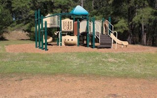
Tumbling Shoals, Arkansas
Old Highway 25
Overview
Old Highway 25 Campground is located on Greers Ferry Lake in the beautiful Ozark Mountains of north-central Arkansas. The enviro...
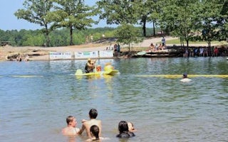
Tumbling Shoals, Arkansas
Dam Site(Greers Ferry)
Overview
Dam Site Campground is located at Greers Ferry Dam at the foot of Round Mountain in the beautiful Ozark Mountains of north-centr...
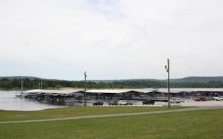
Heber Springs, Arkansas
Heber Springs
Overview
Heber Springs Campground is located on Greers Ferry Lake in the beautiful Ozark Mountains of north-central Arkansas. The environ...
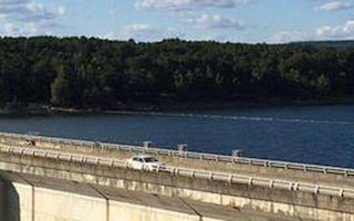
Higden, Arkansas
Narrows (Ar)
Overview
Narrows Campground is located on Greers Ferry Lake in the beautiful Ozark Mountains of north-central Arkansas. The environment p...
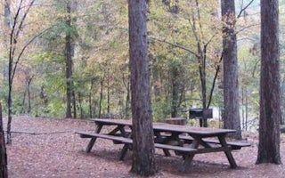
Mountain View, Arkansas
Blanchard Springs Recreation Area
Overview
Blanchard Springs Recreation Area is located in the scenic Ozark National Forest. The Ozark Mountains are known for beautiful "...
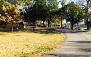
Bigelow, Arkansas
Toad Suck
Overview
Toad Suck Campground, situated on the Arkansas River, is a popular destination for families and groups. Picnicking, boating and ...
Unfortunately, we don't have up-to date pricing data for this listing, but you can check pricing through Recreation Gov.
Book NowAdd your business today to reach The Outbound's audience of adventurous travelers.
Community
© 2024 The Outbound Collective - Terms of Use - Privacy Policy


