Cochiti Area
Book this listing through our partner Recreation Gov
About Cochiti Area
Overview
Cochiti Recreation Area is located in Sandoval County, New Mexico, within the boundaries of the Pueblo de Cochiti Indian Reservation. The lake offers two public recreation areas: Cochiti on the west side of the lake and Tetilla Peak on the east side. Both sides offer spectacular scenic views of the water and surrounding mountains. The Cochiti Dam is one of the ten largest earth-fill dams in the United States, and also one of the largest in the world. The lake derives its name from the Indian Pueblo on the Cochiti Reservation.Recreation
Our quiet lake is an ideal location for all paddle, wind surfing, and sailing craft. The lake is also a popular fishing spot for species such as bass, crappie, walleye, pike, catfish, sunfish and trout. Cochiti Recreation Area has a popular, family friendly, swim beach Day Use area for public enjoyment. It is a fee area, $5 per vehicle, but the cost is covered by the campsite fee for visitors staying in the campground. Additionally, the Cochiti picnic area has 21 covered picnic sites with a large group site that can be reserved by calling the main office. Cochiti Day Use Areas are open from April 15th to October 15th.Facilities
The campground consists of four loops. Juniper Loop campsites have electric hookups and some have water. Elk Run and Ringtail Loops are non-electric and have community water spigots. All sites in Buffalo Grove Loop have water and electric hookups. The Cochiti boat ramp is open year-round and is accessible by a paved road. The ramp has four concrete lanes for loading and unloading.Natural Features
Cochiti Lake sits at 5,343ft in elevation and is nestled in the foothills of the Jemez Mountains. Our high desert environment is dominated by juniper, pinon trees, and mixed grasslands. There are many opportunities for wildlife viewing. Four osprey nesting platforms have been erected around the lake to provide nesting sites, as well as viewing opportunities. On the east side of the lake, deer, coyote, river otters, rabbits, beavers, and the occasional bear are often sighted.Nearby Attractions
Cochiti Lake is five miles from Tent Rocks National Monument, which has fascinating geological formations.Cochiti Area Reviews
Have you stayed here? Be the first to leave a review!
Top Spots in or near Cochiti Lake
Kasha-Katuwe Tent Rocks National Monument (CLOSED)
Jemez Springs, New Mexico
4.8
3 mi
Kasha-Katuwe Tent Rocks National Monument is temporarily closed. Visit the BLM website for more updates.
Hiking at Tent Rocks is a must-do for anyone in the northern New Mexico area. It's an accessible trail that gives you incredible rewards with little effort. The cone-shaped "tent rocks" are the result of erosion following a volcanic explosion 6-7 million years ago, making for some incredi...
Hike to Alcove House
Los Alamos, New Mexico
4.6
2.2 mi
/ 140 ft gain
Start your hike from the Visitor's Center and head out on the Main Loop Trail to begin. You can hike the loop in either direction, either first crossing the river across from the Visitor's Center or heading out from directly behind the Center. If you start from across the river, you'll begin with a quiet walk through the forest and soon reach a junction for Alcove House (straight ahead) or cros...
Hike the Main Loop Trail at Bandelier National Monument
Los Alamos, New Mexico
5.0
1.2 mi
/ 150 ft gain
Bandelier National Monument encompasses over 33,000 acres of public land, including Frijoles Canyon, the home of the Ancestral Puebloans that once lived in the area. The park has miles of trails to explore the rugged countryside, but the main attractions are the cliff dwellings you'll find on the Main Loop Trail. This easy 1.2 mile hike along paved surfaces will take visitors to the archaeologi...
Climb in Diablo Canyon
Los Alamos, New MexicoDiablo Canyon has grown in popularity over the last decade, particularly due to its frequent appearance in television and films. It has hundreds of sport and trad climbs of varying difficulty on basalt cliffs that reach over 300 feet high, with approaches varying from 5 to 30 minutes.Grades range from 5.8 to 5.13 and vary in steepness and exposure. Many routes are moderate 5.10 and is one of th...
Climb Las Conchas
Jemez Springs, New Mexico
5.0
5 mi
75 minutes north of Albuquerque, Las Conchas is a trailhead that sits right off the highway with two accessible, although small, parking lots. Right out of the gate the wide and well worn trail drops down to follow the river north through a wide mountain valley lined with large stands of trees, beautiful cliff faces, and tall grass meadows. Hike in along the trail over wooden boardwalks and w...
Photograph the Cathedral Basilica of St. Francis de Assisi
Santa Fe, New MexicoAlong the downtown Santa Fe plaza, you will run into an obvious architectural beauty. It's the Cathedral Basilica of St. Francis de Assisi. It's placed perfectly in the plaza where the sunset will make the massive structure glow or have interesting shadows cast off its facade.
The cathedral itself is large with a big courtyard that doesn't receive as much sun, so keeping to the front of the bu...
Camping and Lodging in Cochiti Lake
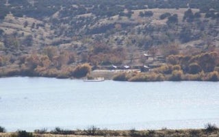
Cochiti Lake, New Mexico
Tetilla Peak
Overview
Tetilla Peak Recreation Area is located in Sandoval County, New Mexico, within the boundaries of the Pueblo de Cochiti Indian Re...
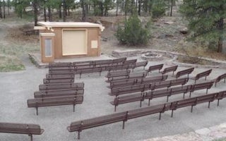
Los Alamos, New Mexico
Juniper Campground
Overview
For visitors to Bandelier National Monument, Juniper Group Campground is an ideal place to stay. Located just inside the main pa...
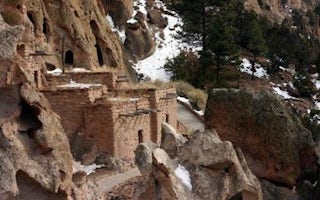
Los Alamos, New Mexico
Ponderosa Campground (Nm)
Overview
For large groups coming to Bandelier National Monument, Ponderosa Campground is an ideal place to stay. Located 6 miles from the...
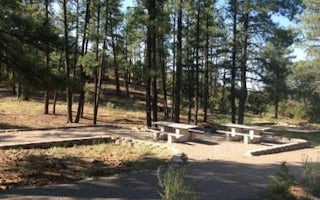
Jemez Springs, New Mexico
Paliza
Overview
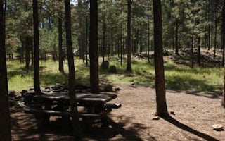
Paliza Campground sits beneath sandstone cliffs on the Jemez Ranger District of the Santa Fe National Forest. The area is replet...
Jemez Springs, New Mexico
Jemez Falls Campground
Overview
Jemez Falls Campground is located in a stunning Ponderosa Pine and forest meadow environment. The campground elevation is 7,880 ...
Jemez Springs, New Mexico
Jemez Falls (Nm) Picnic Area
Overview
Jemez Falls Picnic Area is great place to spend the day, especially when planning a day hike to nearby Jemez Falls on the Jemez ...
Unfortunately, we don't have up-to date pricing data for this listing, but you can check pricing through Recreation Gov.
Book NowAdd your business today to reach The Outbound's audience of adventurous travelers.
Community
© 2024 The Outbound Collective - Terms of Use - Privacy Policy


