Beard's Bluff Park (Ar)
Book this listing through our partner Recreation Gov
About Beard's Bluff Park (Ar)
Overview
Beard's Bluff is located 13 miles east of Ashdown on State Highway 32. It is a bird watcher's paradise with a birding overlook and access to the best sunset viewing on the lake.Recreation
The campground offers open water access to the lake and Little River. The area is made navigable by boat lanes which mark the river and other designated waterways through the lake. Outside of these channels is submerged timber and aquatic vegetation that appeal to anglers and duck hunters alike. Millwood Lake is home to over 300 species of birds including the American Bald Eagle and Great White Pelicans, many of which can be found in the Beard's Bluff area.Facilities
The campground contains lake side campsites as well as those not located directly on the lake but with a lake view. Flush toilets, showers, and potable water are located throughout the campground. The facility also offers one centrally located sewage dump station. Campsites are equipped with picnic tables, grills, fire rings, 30/50 amp electricity, water hydrants, and lantern poles.Natural Features
The campground is located directly on Millwood Lake with lake views from most of the campsites. Bluffs overlook the lake and the area is surrounded by a variety of dense forest.Beard's Bluff Park (Ar) Reviews
Have you stayed here? Be the first to leave a review!
Top Spots in or near Ashdown
Cedar Bluff Nature Trail
Broken Bow, Oklahoma
5.0
0.83 mi
/ 138 ft gain
Cedar Bluff Nature Trail is a loop trail that takes you by a river located near Broken Bow, Oklahoma.
Explore the Lower Mountain Fork River, Beavers Bend SP
Broken Bow, Oklahoma
5.0
Beavers Bend State Park in Broken Bow, Oklahoma is known for its captivating foliage in the fall; however, another distinct feature that it offers is the Lower Mountain Fork River. The Mountain Fork River is accessible via Highway 259-A off of U.S. 259. The lower part of the river winds through Beavers Bend State Park for about 5 miles with Presbyterian Falls in the southern portion and flowing...
Backpack the Eagle Rock Loop
Caddo Gap, Arkansas
5.0
26 mi
Located in Ouachita National Forest, Eagle Rock Loop is Arkansas' longest loop, perfect for a 3-4 day backpack. There are multiple places to begin this trip, as there are 4 trailheads along the route; (1) Albert Pike Recreation Area, (2) Little Missouri Falls on Forest Road 25, (3) 4 miles west of Little Missouri Falls on Forest Road 25, (4) East of Bard Springs Recreation Area on Forest Road 1...
Camp at Reasoner Point
Broken Bow, OklahomaReasoner Point is located in Hochatown State Park along the shoreline of Broken Bow Lake. Hochatown was originally part of Beaver's Bend State Park but later separated to meet the growing needs of people who wish to use Lake. In addition to being on the lake, it's also situated in Ouachita National Forest and offers an amazing place for fall foliage camping.There are many campsites within the s...
Hike to Little Missouri Falls
Mena, Arkansas
4.0
0.25 mi
This beautiful waterfall in the Ouachita National Forest is only a short distance along Little Missouri Trail. There is a picnic area by the parking lot, as well.
Add on the nearby Crooked Creek Falls to your day for another photo-worthy stop.
Drive the Talimena Scenic Byway
Mena, Arkansas
4.3
The Talimena Scenic Byway is one of the highlights of the Ouachita National Forest. Running 54 miles along the crest of the Rich and Winding Stair Mountains, the drive is surprisingly easy and never boring. The whole drive is worth taking, but the Arkansas portion arguably has the most scenic portion(and much less arguably the smoothest roads).There are 17 vistas along the route and almost all ...
Camping and Lodging in Ashdown
Saratoga, Arkansas
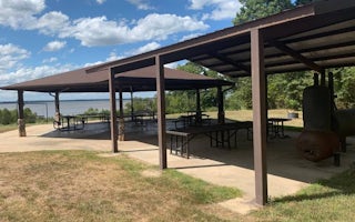
Millwood Overlook Pavilion
Overview
The Millwood Overlook Pavilion is located above beautiful Millwood Lake next to Millwood Dam. A secluded, tranquil, and well-mai...
Mineral Springs, Arkansas
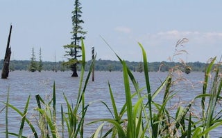
Cottonshed Park (Ar)
Overview
Cottonshed Park is located off the beaten path, eight miles southwest of Mineral Springs and Tollette. It is a quiet, wooded ar...
Texarkana, Texas
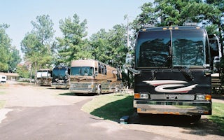
Texarkana KOA Journey
Texarkana KOA is a celebration of the RV lifestyle. Visit the campground's unique RV art gallery! Take a stroll down Wildscape Trail. Co...

Texarkana, Texas
North Shore
Overview
North Shore Park is the largest day-use area on Wright Patman Lake, a 30,000-acre lake set amidst the piney woods of northeast T...
Texarkana, Texas
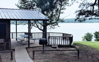
Clear Spring
Overview
Clear Spring Park sits along the shore of 30,000-acre Wright Patman Lake within the piney woods of northeast Texas. The campgrou...
Texarkana, Texas
Oak Park (Wright Patman Lake)
Overview
Oak Park is a day use area located just below the dam on Wright Patman Lake in northeastern Texas. Its picnic shelter and ball f...
Unfortunately, we don't have up-to date pricing data for this listing, but you can check pricing through Recreation Gov.
Book NowAdd your business today to reach The Outbound's audience of adventurous travelers.
Community
© 2024 The Outbound Collective - Terms of Use - Privacy Policy


