Joe WhitsonExplorer
Minnesota Born. Check me out on Instagram: @joewhitson and feel free to shoot me an email if you want to talk more about things to do in Minnesota: joekentwhitson@gmail.com
Backcountry Camp at Glacial Lakes SP
Starbuck, Minnesota
4 mi
/ 200 ft gain
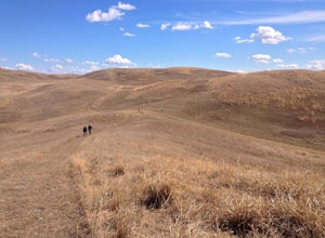
Glacial Lakes State Park is located on the easternmost border of the once immense prairie that covered much of the Great Plains. This prairie oasis gives visitors a taste of what traveling across the that treeless wilderness would have been like for American Indians and pioneers two hundred years ago.Although the park offers drive-in campsites, the best way to see the park is to hike the three ...
Hike The Floe Lake Trail
East Kootenay G, British Columbia
13 mi
/ 2350 ft gain
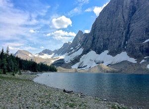
Kootenay National Park is one of the lesser visited parks in a chain of spectacular parks in the Canadian Rockies between Banff and Jasper. Straddling the Trans-Canadian Highway, the park offers hot springs, awesome mountain views, and glaciers. As you enter the park, keep an eye out for the grizzly bears that frequent the road sides.Floe Lake is considered the park's "classic" hike and is a gr...
Hike Eagle Mountain
Grand Marais, Minnesota
5.0
7 mi
/ 554 ft gain
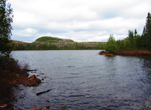
This moderate hike takes you to the highest point in Minnesota, at all of 2,301 ft in elevation. The first part of the hike, which runs along Whale Lake, is a gentle upwards climb. You gain most of the hike's elevation in the final push to the top, within the last mile of the hike. Enjoy the view, rest up, and head back down the trail.Don't forget to get a day permit at the parking lot.
Explore Interstate State Park
Taylors Falls, Minnesota
4.3
3 mi
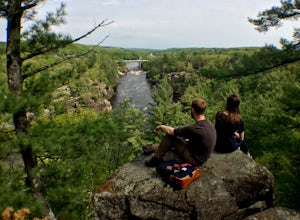
Situated on top of a series of craggy bluffs, Interstate State Park is a small park that offers amazing views of the St. Croix River gorge. With a pine forest ecosystem usually only found a hundred miles north of the park, the lichen encrusted rocks and spring wildflowers offer the Northwoods experience without the long drive.Suggested Hike A 3 mile trail runs from the main park entrance (the p...
Camp at Trail's End Campground
Grand Marais, Minnesota
5.0
Trail's End Campground is located at the very end of the Gunflint Trail, a remote highway that cuts into the heart of the Minnesota Northwoods. Catch the Gunflint Trail in Grand Marais along Highway 61 on the North Shore of Lake Superior. From Grand Marais, you'll wind your way sixty miles along the beautiful wilderness road, a trip that takes about an hour and a half. The campground, which is ...
Hike to Miller and Eva Lakes in Mount Revelstoke NP
Columbia-Shuswap B, British Columbia
4.0
9.3 mi
/ 587.3 ft gain
Mount Revelstoke, located in the Columbian Range on the border of Alberta and British Columbia, is the only summit in the Canadian Rockies you can reach by car. The windy road from the Trans-Canadian highway rises about 4000 ft. offering increasingly expansive views of the valley below. The park is known for its fields of wildflowers, so try to visit during their incredibly short growing season...
Ski Jump at Suicide Bowl
Marquette County, MichiganIf you are into extreme sports, ski jumping is definitely something you should try. Suicide Bowl (don't let the name put you off) outside of Marquette, MI is one of the oldest and most established ski jumping clubs in the country and a perfect place to either get started or hone your skills.
Before you go: Contact the Ishpeming Ski Club to set up a time to go to Suicide Bowl. There isn't open ...
Walk the Prairie Loop at Richardson Nature Center
Bloomington, Minnesota
5.0
0.8 mi
/ 70 ft gain
Begin your hike behind the Visitor's Center and follow the path to the left towards the Prairie Loop Trail. The path quickly breaks out of the woods into an open prairie, looping through the tall grasses and burr oaks. The pond with its boardwalk is a great place to see Canada Geese, Tundra Swans, and different ducks - ask at the visitor's center and they may give you seeds to feed the birds. T...
Hike to Morgan Creek Falls
Marquette, Michigan
5.0
3 mi
Begin your hike at the Noquemenon South Trailhead and follow the markings for the Morgan Creek Falls loop. You will immediately have to cross Hwy 553 to get to the main trail. From there, you have two options to reach the falls. The first and more scenic is the marked Noquemenon trail (look for blue blazes on the trees). This trail is very circuitous, winding back and forth along the hills and ...
Hike Split Rock Lighthouse State Park to Corundum Point
Two Harbors, Minnesota
5.8 mi
/ 300 ft gain
On November 28, 1905, a violent storm hit Split Rock Point on the North Shore of Lake Superior. While large storms aren't unusual at Split Rock, this particular storm resulted in the destruction of twenty-nine ships on the lake in a single day, prompting the construction of Split Rock Lighthouse. Dubbed at one point "the most dangerous piece of water in the world," the waves crashing against th...
Explore Yankee Boy Basin and the San Juan Mountains
Ridgway, Colorado
5.0
While its nickname "The Switzerland of America" may have been invented by some overzealous marketers, Ouray, Colorado and the surrounding San Juan Mountains is a destination you won't want to skip. Expansive green valleys blanketed with wildflowers, distant snowcapped peaks, and hidden lakes will quench any explorer's thirst for beauty while crumbling ghost towns, precarious cliffside roads, an...
Canoe the Sturgeon Lake Loop in Quetico Provincial Park
Rainy River, Unorganized, Ontario
50 mi
Quetico Provincial Park, just north of Minnesota in southern Ontario, is the Canadian portion of the Boundary Waters Canoe Area Wilderness (BWCA). Truly a wilderness area, the 1.2 million acre park has no roads, few trails, and allows in just a tenth of the visitors that canoe the BWCA to the south. With over 2000 lakes, the best way to explore the park is by water. Motorized boats aren't gene...
Fat Tire Bike the Noquemenon Trail Network
Marquette, Michigan
3 mi
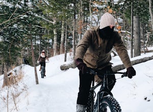
The Noquemenon Trail Network (NTN) is an extensive network of non-motorized trails in and around Marquette, MI and has become a popular site for winter fat tire biking. If you haven't fat tire biked before, the benefit of the nearly four inch wide tires is that it gives you incredible traction on ice and loose surfaces like snow or sand, making mountain biking a four season sport.
If you don't...
Climb Mt. Charity at John A. Latsch State Park
Minnesota City, Minnesota
5.0
1 mi
/ 500 ft gain
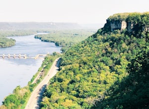
John A. Latsh State Park is directly off of Hwy. 61 a few miles north of Winona. Begin your hike at the parking lot, following the signs for the Riverview Trail. The hike itself is a short, but steep climb on a series of steps up the side of the Mt. Charity Bluff. Winding through verdant valley forest, thick with ferns and wildflowers, the stairs eventually emerge onto a bluffland prairie scatt...
Hike the Afton State Park Trail
Hastings, Minnesota
3.6
3.5 mi
/ 740 ft gain
This diverse, 2,702-acre park has trails for both day hikers and backpackers – some with scenic views of the St. Croix River, others which drop into quiet ravines. For the best views of the valley, explore off-trail, where you may find hidden bluffs with panoramic views.The park also offers horseback riding, mountain biking, swimming, and cross-country skiing, in the winter.A good introductory ...
Canoe to the Palisades on Seagull Lake in the BWCA
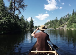
Grand Marais, MinnesotaBegin your trip at the Seagull Lake boat launch at Trail's End Campground. The campground, located in Superior National Forest at the very end of the Gunflint Trail, is an hour and half drive from the nearest town of Grand Marais and is a great place to stay the night before. There are no motors allowed in the BWCA, so you will need a canoe or kayak, which you can rent from the nearby Voyageurs...
Backpack Isle Royale NP's Greenstone Ridge Trail
Eagle Harbor Township, Michigan
5.0
41.12 mi
/ 3235 ft gain
Isle Royale National Park consists of Isle Royale, a fifty mile long and nine mile wide island in Lake Superior, and about 45 smaller islands around (and within) it. Remote and undeveloped, the shores can be visited by watercraft, but the only way to see the interior is to walk across it. Because the island has only one large predator population (wolves) and one large prey population (moose), i...
Hike up Buck Hill, Theodore Roosevelt NP
Belfield, North Dakota
5.0
0.4 mi
/ 56 ft gain
Buck Hill is a popular stop on Theodore Roosevelt National Park's Scenic Loop Road. The official trail is only a half mile round trip, but the landscape is open and it is worth spending more time in the Buck Hill area wandering around the various hills and lookouts, patching together a 360 degree view of the surrounding park. The south hill will reveal the badlands in all their alien glory and ...
Drive the Eco-Tour Road in Grasslands National Park
Mankota, Saskatchewan
5.0
Grasslands National Park is Canada's only prairie national park and is the perfect place to dive into a true prairie wilderness. This park is mostly backcountry, but taking the Eco-Tour route through the western section will allow you to sample the park and give you easy access to a number of short, interpretive trails.Begin your drive in the tiny town of Val Marie, SK. Take Hwy 18 west to the ...
Drive the Sage Creek Rim Road
Interior, South Dakota
4.8
A labyrinth of gullies, hoodoos, and ravines, Badlands National Park in western South Dakota is a welcome break from the unrelenting flatness of the surrounding prairie. The remote park is also a paradise for backcountry hikers and campers who really want to escape the crowds and explore wilderness far from trails and roads. With a famously dark night sky perfect for stargazing, easy to see wil...
Community
© 2024 The Outbound Collective - Terms of Use - Privacy Policy

