Jake Birch
I'm an Australian outdoors enthusiast and amateur photographer. I love hiking the roads less travelled and connecting with like-minded people!
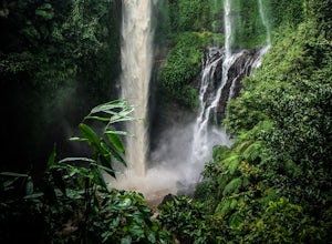
Hike to Sekumpul Waterfalls
Sawan, Indonesia
3.7 mi
/ 984.3 ft gain
Hidden in the dense jungles of Northern Bali lies Sekumpul Waterfalls, a collection of picturesque waterfalls away from the crowds.From Kuta, you can organise a private driver to take you to the falls. Around $80 US will get you the entire vehicle, so the more people you have, the cheaper it will be. Most drivers are familiar with these falls so you should have no trouble finding a ride.Note: D...
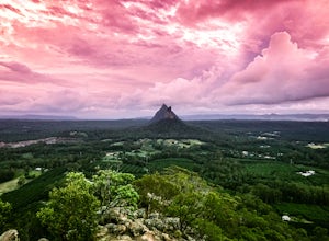
Hike to the Summit of Mount Ngungun
Glass House Mountains, Queensland
5.0
1.9 mi
/ 590.6 ft gain
At 253m tall, Mt Ngungun is one of the smaller Glass House Mountains. This trail is perfect for beginners but still rewards you with great views.The trailhead starts at the Carpark located along Fullertons Rd. This is quite a popular hike so you may have to park down the road a little. The trail starts ascending quite steadily with a few rocky stairs and is well maintained. You'll eventually re...
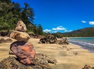
Hike the Andrews Point Trail at Cape Hillsborough
Cape Hillsborough, Queensland
3.2 mi
/ 328.1 ft gain
Located around 50km from the city of Mackay, Cape Hillsborough National Park offers unspoilt wilderness like no other. Dense rainforest meets secluded beaches and there's a 99% chance you'll see a kangaroo bounding along the coastline.The Andrews Point Trail is one of the most scenic hikes I've ever done and the best thing is there's a good chance you won't see another soul along the way! Findi...
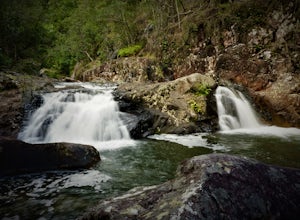
Hike the Finch Hatton Gorge
Finch Hatton, Queensland
5.0
2.5 mi
/ 492.1 ft gain
Finch Hatton Gorge is located around 80km West of Mackay in North Queensland. It lies within the Eungella National Park and is home to an expanse of waterfalls, gorges and pristine wilderness. From the car park there is a well maintained track which leads to the two main swimming holes. After trekking for a kilometre you will come to a fork in the trail. The left trail will lead you to Araluen ...
Hike to the Summit of Mt. Maroon
Maroon, Queensland
3.7 mi
/ 1968.5 ft gain
The trail begins at the car park at the end of Cotswold Road, easily found on Google Maps. This is an unsealed road but is suitable for most vehicles. You will see a Pathogen Control Station (shoe scrubber), this is where the actual trail starts.Follow the trail through open grazing land for a few hundred meters until reaching the base of the ridge. From here the trail ascends quite steeply and...
Community
© 2024 The Outbound Collective - Terms of Use - Privacy Policy

