Selva dei Molini, Italy
Top Spots in and near Selva dei Molini
-
Jochberg, Austria
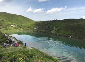
Hike to Blaue Lacke (Blue Lake)
8.2 mi / 2286.7 ft gainThe trail starts at Bruggeralm, a mountain hut above the town of Jochberg. Note that the hut is usually closed in June because of the low footfall. In July, Tuesdays are rest days. The trail starts off as a gravel path. You will pass another mountain hut, Jagerwurzhütte. At approximately 2.3km, ...Read more -
Jochberg, Austria
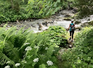
Hike to Sintersbacher Waterfall
6.2 mi / 2030.8 ft gainThe trail begins with an uphill on gravel through the forest, with the Sintersbach river to your left. The trail is shaded until it reaches the Sintersbacher waterfall. There is a bridge which will take you to the other side of the river, where the trail continues uphill for another 20 minutes in...Read more -
Seefeld in Tirol, Austria
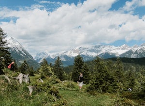
Hike to the Brunschkopf
Starting from the tennis hall in Seefeld, follow the path towards Mösern which goes across the meadows. When you get to Mösern you'll see trails for the Möserer See and the Möserer See Stube. For the hike to the Brunschkopf, you don't actually pass the lake. It's a short detour off the trail but ...Read more -
Kitzbühel, Austria
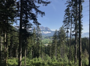
Hike from Kirchberg to Kitzbühel via Seidlalm-See
6 mi / 2034.1 ft gainThe trail begins in Klausen, near Restaurant Schwedenkapelle, with an uphill on gravel through the forest, with the stream to your left. The trail is shaded until you reach an open meadow, approximately 2km into your hike. The trail is well marked with Austrian flags painted on rocks and trees, ...Read more -
Umhausen, Austria
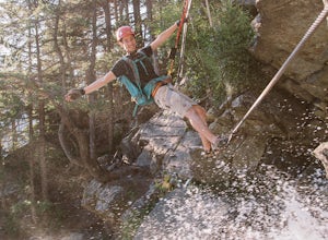
Climb the Stuibenfall Via Ferrata
The Stuibenfall waterfall is the highest waterfall in the Tirol state of Austria, situated in the Ötztal valley. Not only is it an incredible sight to see by itself, but if you have experience climbing via ferrata (known as klettersteig in German), you can climb up the full waterwall. The Approac...Read more -
Mittenwald, Germany
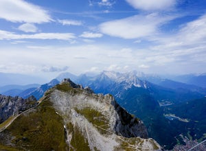
Hike Westliche Karwendelspitze
8 mi / 6000 ft gainStarting at the base of the Karwendelbahn, follow signs under the roadway and up the hill. From there, follow the yellow signs to the Dammkarhütte. This portion of the hike is relatively easygoing, but the last little bit up to the hut involves quite a bit of shale, so be prepared to take your ti...Read more

