Eric HarrisExplorer
Adventure Filmmaker ╳ Van Lifer ╳ I like to climb stuff and make things. Follow me on Instagram: @danger_cake
Photograph Foss á Siðu
Þjóðvegur, Iceland
5.0
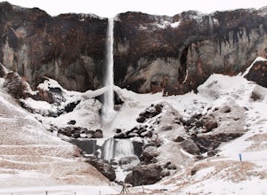
Foss a Sidu is less famous than many of the waterfalls on the south coast, but its easy access and unique surroundings make it well worth the stop. The river Fossa falls over a 30m cliff with jagged landscape on either side. Two farms sit below the waterfall on opposite sides of the river. Different seasons have very different moods here. In the spring and summer the surrounding area is bri...
Secluded Beach Near Soberanes Point
Carmel-by-the-Sea, California
5.0
0.2 mi
/ 40 ft gain
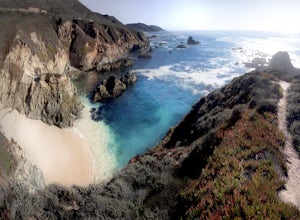
When we stumbled upon this beach we were thrilled to have such great views with no crowds. There is plenty of room to lay out in the sun, you can swim in the ocean to cool off, and the beach is surrounded by beautiful landscape. If you decide to swim be very careful as the waves and currents can be dangerous in this area.
When you're done at the beach, I highly recommend taking some time t...
Backpack to Cutthroat Lake
Oakley, Utah
4 mi
/ 280 ft gain
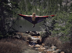
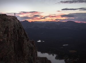
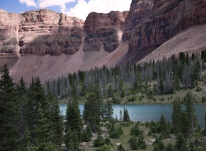
There isn't a trail to Cutthroat Lake so for a portion of the hike will be cross-country. I highly recommend bringing a GPS but with intermediate route-finding skills you should be able to find your way. We used the Gaia GPS app and this made the hike much easier. The distance depends on the route you take, but expect to hike at least four miles roundtrip. Getting There: Your adventure beg...
Winter Backpack to Dog Lake and Backcountry Ski Reynolds Peak
Salt Lake City, Utah
4.5
5 mi
/ 1500 ft gain
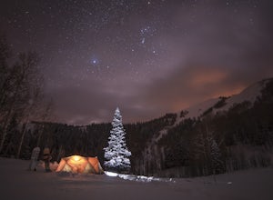
The hike is considered moderate, but the 1500ft. elevation gain (2100ft. to Reynolds Peak) will definitely get your heart rate up. Snowshoes/skins are recommended but the trail is often packed enough to do without them.After crossing the street from the Spruces parking lot, follow the trail past cabins until you reach a fork, where you will follow the trail northeast into an Aspen Grove. Cont...
Hike Bald Mountain in the Uintas
Kamas, Utah
4.5
4 mi
/ 1250 ft gain
Bald Mountain is one of the most popular hikes in the Uintas, so get an early start if you want to beat the crowds. Those willing to hike in before dawn will be rewarded with an unforgettable sunrise at the summit. I HIGHLY recommend this as a sunrise hike.
The trail starts out with steep switchbacks for the first 0.6 mile, and then flattens out into a plateau. Towards the summit the trail stee...
Tower Bridge via Fairyland Loop
Bryce Canyon City, Utah
4.0
3.56 mi
/ 935 ft gain
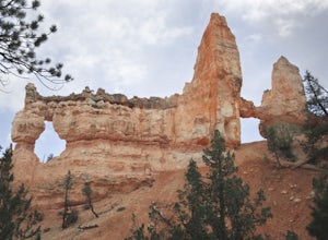
Getting there is half the fun on this hike below the canyon rim. While there are fewer hoodoos in this area of the park, the scenery is still incredible and the crowds are much lighter. Starting at Sunrise Point, the trail boasts big views immediately. During the first mile you can look out at China Wall, Sinking Ship, and endless panoramic views of the park and beyond. The trail descends t...
Mt. Olympus Trail
Holladay, Utah
4.7
6.46 mi
/ 4124 ft gain
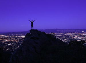
The trail begins right on Wasatch Blvd. and after the first 0.5 miles you're into the Superior Wilderness. This is a very strenuous hike and you will be gaining elevation the whole way from the parking lot (4830 ft) to the summit (9026 ft).
About .2 mile from the summit you will reach a saddle. The ground is flat here, the view is great, and it's a good place to rest on the way up or eat lun...
Backpack to Dead Horse Lake
Evanston, Utah
5.0
21 mi
/ 1400 ft gain
Dead Horse Lake is a lightly trafficked and highly scenic route in the High Uintas Wilderness. The trail is easy enough to do overnight but I recommend taking an extra day to explore the area around Dead Horse Lake. From the trailhead you will hike south on the West Fork Blacks Fork trail. The trail follows the West Fork Blacks Fork River through scenic meadows with steep rocky peaks on eith...
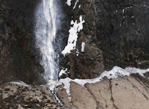
Photograph Þjóðvegur's Waterfall
Þjóðvegur, IcelandThe waterfall backdrops a soccer field and school that sit just below. It's just down the road from Seljalandsfoss and is definitely worth adding to your Ring Road agenda. The waterfall has a light flow and on a windy day the water can blow sideways or even upward. This makes the waterfall "disappear" for several seconds until the flow resumes.I read there is a cave near the waterfall but we...
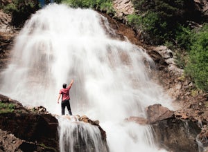
Hike from Stanley Lake to Bridal Veil Falls
Lowman, Idaho
5.0
7.9 mi
/ 570 ft gain
Bridalveil Falls [Video]
The hike to the falls begins near Stanley Lake in a clearly marked trailhead parking lot (GPS coordinates below). From the parking lot there is a short walk up a dirt road where the trail breaks off at a sign for Bridalveil Falls on Trail 640. You will stay on Trail 640 for the entirety of the hike.
The trail starts in wildflower meadows with excellent views of the ...
Backcountry Ski Suicide Chute on Mt. Superior
Sandy, Utah
5.0
0.6 mi
/ 1245 ft gain
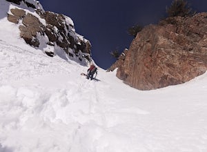
First of all it's not as scary as it sounds, or as scary as it looks. That being said it's a steep chute in dangerous avalanche terrain so only experienced skiers with backcountry skiing knowledge/equipment should attempt this route.Suicide Chute is located on the South face of Mt. Superior in Little Cottonwood Canyon. Park at Entry 4 at Snowbird and walk about 1/4 mile up the road where you ...
Swim in the Elwha River
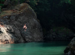
Port Angeles, WashingtonTucked away in the trees along Olympic Hot Springs Road, the Elwha River slows to a crawl and forms a perfect natural swimming hole. It is a great place to cool off, picnic, and enjoy the beautiful forest surrounding the Elwha River.
The river's water is crystal clear and a vivid blue-green color. It runs down from the Olympic Mountains, so make no mistake, the water is very cold.
If you...
Explore the Horseshoe Bend Crack
Page, Arizona
5.0
1.9 mi
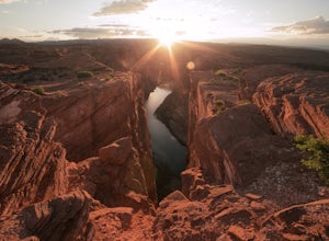
Horseshoe Bend is an iconic viewpoint, and a must-see for photographers. Check out Tiffany Nguyen's post, Hike to Horseshoe Bend, for more details on that part of the adventure.
Because of its popularity and easy access, the Horseshoe Bend viewpoint is thoroughly photographed and can be very crowded. If you're looking for unique shots of the canyon and want to get away from the tourists there...
Photograph Rattlesnake Canyon
Page, Arizona
5.0
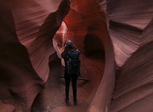
Rattlesnake Canyon is an add-on to the ever-popular Antelope Canyon photography tour. Both canyons are on Navajo land and only accessible by guided tour.The advantage to Rattlesnake Canyon is that only one tour company is allowed to operate there and they only take one group at a time. Our group had nine people, so the nine of us had the canyon to ourselves.You access the entrance to the cany...
Cooper Lake
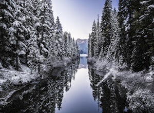
Snoqualmie Pass, WashingtonThe Owhi Campground on Cooper Lake is tucked away in the Okanogan-Wenatchee National Forest near Salmon La Sac. It sits at 2,788 feet and has views of Chikamin Peak (6960') and Lemah Mountain (7480'). The lake is quiet, very photogenic, and easily accessible.
The campground is on the north side of the lake has 22 walk-in tent-only campsites and basic facilities. The campsites are close to ...
Community
© 2024 The Outbound Collective - Terms of Use - Privacy Policy

