Yale, British Columbia
Looking for the best photography in Yale? We've got you covered with the top trails, trips, hiking, backpacking, camping and more around Yale. The detailed guides, photos, and reviews are all submitted by the Outbound community.
Top Photography Spots in and near Yale
-
Whatcom County, Washington
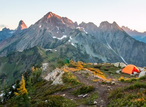
Winchester Mountain Fire Lookout
4.83.28 mi / 1335 ft gainWinchester Mountain is said to have the greatest reward for least amount of effort in all the North Cascades. One of the last fire-lookouts in the region stands on the summit. Views from the summit of Winchester Mountain are beautiful and dramatic to say the least. Being one of the easiest hikes...Read more -
Manning Park, British Columbia
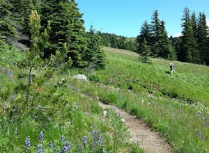
Backpack the Heather Trail, BC
24.9 mi / 1138.5 ft gainThis hike begins in the middle of Manning Park, with a drive up to the trail-head. This means you get all the benefits of alpine views and fields of wildflowers in the summer months, without hiking the elevation gain. Manning Park is on the Crowsnest Highway (BC-3). Across the highway from the ...Read more -
Manning Park, British Columbia
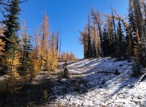
Hike to Mt. Frosty, EC Manning Provincial Park
14.2 mi / 5433.1 ft gainThe larch meadows on the approach to Mt. Frosty are known for 2 things: 1. Wild flowers during the summer and 2. Larches during the autumn.The trail climbs up the south end of Lightning Lake; it is well groomed and graded all the way up. The steepest section is the climb out of Lightning Lakes – ...Read more -
Whatcom County, Washington
Yellow Aster Butte and Tomyhoi Peak
4.713.4 mi / 4902 ft gainThe best way to describe the location is due east of Bellingham. After driving through gorgeous roads to reach Twin Lakes Road (fire service road 3065), you are treated to about a 4-mile drive up to the trailhead for Yellow Aster Butte (8.3 miles RT with 2850' of gain) and Tomyhoi Peak. The drive...Read more -
Whatcom County, Washington
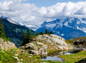
Yellow Aster Butte
9.08 mi / 3258 ft gainYellow Aster Butte has to be one of the most visually rewarding hikes in the Mt. Baker-Snoqualmie National Forest for the effort required to get there. Abundant with lush, rolling mountain meadows, hikers can be treated to an abundance of wildflowers, heather fields, and berry patches with dreamy...Read more -
Deming, Washington
Visit Nooksack Falls
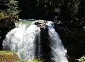
The View. Nooksack Falls is a wonder of a sight, tumbling 88 ft in two segments averaging 50 ft across. A quick stroll from the parking area brings you to the upper or "lower" view, where you can either see the top of the waterfall cascading away from you, or see the whole waterfall. The water...Read more -
Deming, Washington
Summit Church Mountain
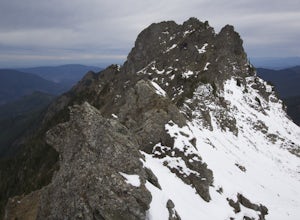
8.5 mi / 3750 ft gainStart by driving roughly 2.5 miles up Forest Road 3040, conveniently named E Church Mt Road, to the trailhead. The road is bumpy, but lacking the pot-holes that occupy many of the other forest roads. The only issue comes at 2 miles in where a stream runs over the road and has eroded a small ditch...Read more -
Maple Ridge, British Columbia
Hiking Upper Gold Creek Falls
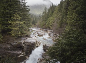
4.5Once you arrive in Golden Ears Park, follow the road to the end and look for signs to the Gold Creek Day Area. The road will turn to gravel, and after you cross a small, one-line bridge, you will reach the parking lot.After you have parked, head north past the yellow gate, marked East Canyon Trai...Read more -
Maple Ridge, British Columbia
Hike to Lower Falls in Golden Ears Provincial Park
5.03.5 miLower Falls is found within Golden Ears Provincial Park in British Columbia. Easily accessible from the Gold Creek Parking lot, it is a relatively flat trail snaking along Gold Creek itself. It can be done as an out & back trail, or you can make it a loop by using the connector trail located ...Read more -
Maple Ridge, British Columbia
Summit Golden Ears
4.514.9 mi / 5039.4 ft gainDay 1 Starting from the Golden Ears parking lot, your journey begins up a relatively small incline passing two bridges and entering the forest. Continue through the forest passing small cliffs and revealing some views of what you are going to climb the next day. Your estimated time it should take...Read more -
Maple Ridge, British Columbia
Hike to Alder Flats in Golden Ears Provincial Park
4.06.8 mi / 918.6 ft gainIf you're looking for a challenge and hope to get into the mountains this is a great adventure to set out on.Be prepared: Water, a lot of time, and with an understanding of the elevation gain will be important. This hike to the viewpoint of Alder Flats (overlooking the ears) takes around 2 hours ...Read more -
Maple Ridge, British Columbia
Hiking Golden Ears Trail
14.9 mi / 4921.3 ft gainGolden Ears is well known to those in the Lower Mainland. After staring at the jagged 'ears' from all angle, I finally got to see them up close and in-person. The West Canyon Trail is a gentle 5.5 kilometers on a well groomed path, lined with deciduous trees making it a perfect place to watch the...Read more -
Maple Ridge, British Columbia
Camp in Golden Ears Provincial Park
11.2 mi / 3937 ft gainBackcountry permits are required to camp on Panorama Ridge ($5) and can be paid online.The trailhead is located at the West Canyon Parking lot. The trail starts out on a relatively flat old logging road. The trail slowly gains elevation over three kilometers taking you through thick green forest ...Read more -
Deming, Washington
Catch a Sunrise at Picture Lake
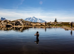
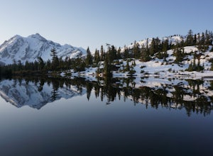
4.7Set your eyes on one of the most photographic mountain landscapes in North America. You can drive up early for the sunrise, but really any time of day will be a treat.In the spring, make sure to come when the lake isn't frozen over so you can get the full reflection of Mt. Shuksan on the water. T...Read more -
Deming, Washington
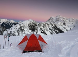
Winter Backpack to Artist Point
4 mi / 1000 ft gainYou do need a Northwest Forest Pass to park in the lot overnight. You can buy a day use E-pass online here (pick Mount Baker-Snoqualmie National Forest from the drop down menu) and print it out and it's ready to use. Or you can buy the annual pass here.The adventure to Artist Point begins in the ...Read more -
Deming, Washington
Winter Backpack in the Mt. Baker Backcountry
6 mi / 1500 ft gainArrive at the upper ski resort parking lot (approx. 4300 feet elev.) and snowshoe, skin, or split board up. Make your way toward Artist Point and eventually Huntoon Point, gaining approximately 1500 feet of elevation over approximately 3 miles (one way). Past Huntoon Point, there are several grea...Read more

