Vancouver, British Columbia
Top Spots in and near Vancouver
-
North Vancouver, British Columbia
The elevation gain to first peak is approximately 451m and is about 9km.There are several ways to get to the top, each trail is marked well. One way is to follow the ski run up to brockton point and then take the turn off to Mount Seymour. Do not follow the Elsay Lake trail as it's signifciantly ...
Read more
-
North Vancouver, British Columbia
From the end of the parking lot next to the BC Parks sign board, walk towards the ski run and follow it uphill to a green sign on the left. The first trail goes to Dog Mountain, another scenic and shorter hike then Mount Seymour. Instead, follow the trail that heads uphill and parallel to the ski...
Read more
-
North Vancouver, British Columbia
4.5
5.5 mi
/ 1476 ft gain
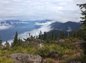
This trip is best done in a 3-5 hour window. The trail meanders up past several peaks until you reach the summit and a panoramic view of Vancouver and the mountains.Start at the Mount Seymour Parking Lot, walk uphill and follow the trail to the left of the ski hill until you get to the the trail ...
Read more
-
North Vancouver, British Columbia
A perfect way to get outside before or after work. Dog mountain is an easily accessible snowshoe trail that takes you up to the short peak from the Mt. Seymour parking lot. This is a perfect spot for sunrise or sunset photography, and you can catch great 360 views from the top. Start at the BC Pa...
Read more
-
North Vancouver, British Columbia
The trail begins in the furthest northwest corner of the parking lot, by a big trail map. The start of the trail is gradual and meanders through the forest. The trail then begins to become more technical and requires scrambling over rocks and up areas with roots. Although this hike has minimal ga...
Read more
-
North Vancouver, British Columbia
4.0
3.1 mi
/ 492.1 ft gain
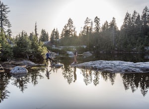
From the Mt. Seymour ski area parking lot, head towards the Mystery Peak Express. Once you have passed the base of the Mystery Peak Express, you will continue up the trail to your left (right goes to dog mountain, straight to the 3 peaks of Seymour). Follow the trail all the way up to the lake. T...
Read more
-
Delta, British Columbia
As you begin your journey into Burns Bog Delta Nature Reserve from the parking lot and small trail coming off of Westview Drive, notice the gravel trail ahead of you and across the train tracks that will take you into the bog itself and take a left. After spending a few minutes on the straight tr...
Read more
-
West Vancouver, British Columbia
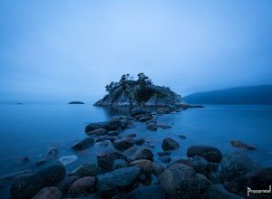
Escape to the vanishing horizon of the Pacific Ocean, where time is measured by the rhythm of waves.Located near West Vancouver's Horseshoe Bay neighbourhood, Whytecliff Park is home to more than 200 marine animal species and is one of the first Marine Protected Areas in Canada. You're almost gua...
Read more
-
North Vancouver, British Columbia
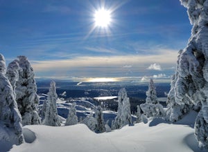
You'll see traction of all sorts in the Mt. Seymour area during Winter months, including: yak tracks, microspikes, crampons, snowshoes, skis (with and without skins), and my personal favourite, the magic carpet.The Mt. Seymour trail parallels the Seymour downhill ski area. It follows up and over...
Read more
-
Bowen Island, British Columbia
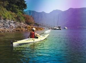
Head out to Horseshoe Bay, and catch the ferry out to Bowen Island (Snug Cove). As you get off the ferry you will see a parking lot immediately to your left. If there is no parking there, there is some further up the road just before the local grocery store. Make your way back to the harbor, and ...
Read more
-
Bowen Island, British Columbia
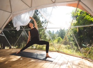
Head over to Bowen Island, via a ferry from the Horseshoe Bay Departure Terminal. A short drive up Miller Road will lead you to Nectar Yoga BnB. They offer two classes a day, one in the morning and one in the evening. The times vary, but are usually around 9:00 AM and 4:30 PM. They are for all sk...
Read more
-
Anmore, British Columbia
This hike begins near the parking lot of Buntzen Lake. The trailhead will read "Halvor Lunden Trail,” named after the man who made it. This part of the trail is well marked, however as you continue along the loop it gets less and less worn, making things more difficult, but also more natural.The ...
Read more
-
Anmore, British Columbia
Buntzen Lake is located in a beautiful recreation area just north of Port Moody. Although the lake is man-made and maintained by BC Hydro, the surrounding area is full of forests, nice beach areas, and many trails for hiking including the Buntzen Lake Trail, which loops around the lake.Beginning ...
Read more
-
Bowen Island, British Columbia
Mount Gardner is the highest point on Bowen Island. I love visiting Bowen. It is a 20 minute ferry ride from Horseshoe Bay but feels a world’s away from the city.
I climbed to the top of Mount Gardner a few years ago during the summer, but had yet to do it in the winter. I was excited to see wha...
Read more
-
Lions Bay, British Columbia
Find parking in a small gravel lot and be careful to park to the left of the sign, as cars do get towed in this area. Cross through the yellow road gate and begin by ascending the gravel road that provides moderate switchbacks before reaching a junction with the Mount Harvey trail, and keep right...
Read more
-
Lions Bay, British Columbia
5.0
8.75 mi
/ 5100 ft gain
Driving north from Vancouver along the Sea to Sky Highway (HWY 99) turn off at Lions Bay exit and park at the end of Sunset Dr.N 49.470653225392105, -123.23479324579239 WThe trail begins on a gravel service road which winds up for 30 minutes. Take a left at the fork where a sign on the tree reads...
Read more

