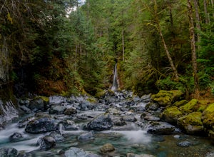
Ucluelet, British Columbia
Looking for the best running in Ucluelet? We've got you covered with the top trails, trips, hiking, backpacking, camping and more around Ucluelet. The detailed guides, photos, and reviews are all submitted by the Outbound community.
Top Running Spots in and near Ucluelet
-
Tofino, British Columbia
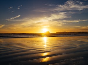
Sunset at Chesterman Beach
5.00.25 miJust minutes from downtown Tofino, Chesterman Beach is a great spot to catch the sunset, go for a run, or just walk down the beach towards Frank Island. The parking lot is just seconds from the beach.Head to the right and scramble on the rocks to find a spot near the point, or walk to the left do...Read more -
Tofino, British Columbia
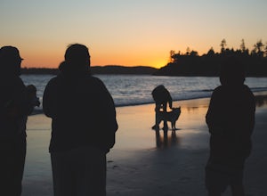
Take a Stroll at Mackenzie Beach
5.0Head out to Mackenzie beach in Tofino. The easiest way to access it is through the Makenzie Beach Resort or surrounding campgrounds. It is roughly a mile long beach depending upon the tide. Sometimes live music is played on the beach, usually in the evenings and on the weekend. It is dog friendl...Read more -
Alberni-Clayoquot F, British Columbia
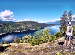
Run the Alberni Inlet Trail
14.9 mi / 3937 ft gainI have lived on Vancouver Island my entire life yet I had never heard about this world class trail until last summer. A 24km point to point coastal trail that travels the length of the Alberni Inlet from the coast right to the town? Through paradise meadows, along sun drenched bluffs, past water...Read more -
Comox-Strathcona D, British Columbia
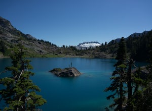
Hike to Cream Lake, BC
12.4 mi / 1312.3 ft gainThe hike to Cream Lake starts at the trailhead for the Bedwell Lake trail, which you can find directions to here.From Bedwell Lake the trail to Cream Lake heads Eastward from the campground (past the outhouse), and begins climbing steadily. Shortly you will reach a waterfall with the trail climb...Read more -
Comox-Strathcona D, British Columbia
Hike to Baby Bedwell & Bedwell Lake
5.07.5 mi / 2132.5 ft gainDriving: From Campbell River, take Highway 28 West to the bridge over Upper Campbell Lake/Buttle Lake. Do not cross the bridge, but take the road down the East side of Buttle Lake. Follow Buttle Lake road south to Jim Mitchell Lake road which is on the left just after the Thelwood Creek Bridge. ...Read more -
Comox-Strathcona D, British Columbia
Summit The Golden Hinde
5.040.4 mi / 5987.5 ft gainAs Vancouver Island's highest peak, the Golden Hinde is an obvious draw for coastal climbers. Its gravitational pull, however, requires a commitment, given this crown jewel of the Island Alpine is also one of its most remote, and gains more elevation than from Base Camp to Everest's summit.Winter...Read more -
Comox-Strathcona D, British Columbia
Hike to Flower Ridge
20 mi / 5445 ft gainWith a name like Flower Ridge, who wouldn't want to add this hike to their bucket list?The Flower Ridge trailhead is located approximately 26kms down the Buttle Lake Parkway, towards Westmin Mine, in Strathcona Provincial Park. A classic Island alpine approach, you will be more than warmed up af...Read more -
Nanaimo F, British Columbia
Summit Mt. Cokely via the Historic CPR Trail
5.012.4 mi / 1000 ft gainThe trail from Cameron Lake to the top of Mount Cokely (5302') provides the most ready access to the alpine on Southern Vancouver Island. The route is straightforward and non-technical, albeit physically challenging. Expect to spend 6-8+ hours if hiking the entire route described below (which we ...Read more -
Fanny Bay, British Columbia
Rosewall Creek Falls
4.33.84 mi / 515 ft gainStarting at the Rosewall Creek Provincial Park parking lot you take the trail upstream of the creek passing under the inland island highway bridge. This trail eventually leads out of the provincial park boundary, but don't worry you haven't gone too far. It is about a 7 km roundtrip hike and the...Read more

