Squamish-Lillooet D, British Columbia
Looking for the best photography in Squamish-Lillooet D? We've got you covered with the top trails, trips, hiking, backpacking, camping and more around Squamish-Lillooet D. The detailed guides, photos, and reviews are all submitted by the Outbound community.
Top Photography Spots in and near Squamish-Lillooet D
-
Maple Ridge, British Columbia
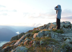
Summit Golden Ears
4.514.9 mi / 5039.4 ft gainDay 1 Starting from the Golden Ears parking lot, your journey begins up a relatively small incline passing two bridges and entering the forest. Continue through the forest passing small cliffs and revealing some views of what you are going to climb the next day. Your estimated time it should take...Read more -
Maple Ridge, British Columbia
Hike to Alder Flats in Golden Ears Provincial Park
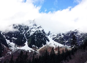
4.06.8 mi / 918.6 ft gainIf you're looking for a challenge and hope to get into the mountains this is a great adventure to set out on.Be prepared: Water, a lot of time, and with an understanding of the elevation gain will be important. This hike to the viewpoint of Alder Flats (overlooking the ears) takes around 2 hours ...Read more -
Maple Ridge, British Columbia
Hike to Lower Falls in Golden Ears Provincial Park
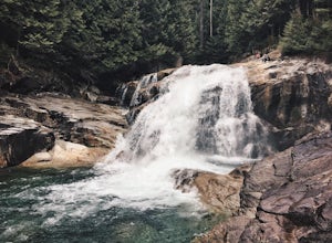
5.03.5 miLower Falls is found within Golden Ears Provincial Park in British Columbia. Easily accessible from the Gold Creek Parking lot, it is a relatively flat trail snaking along Gold Creek itself. It can be done as an out & back trail, or you can make it a loop by using the connector trail located ...Read more -
Maple Ridge, British Columbia
Hiking Upper Gold Creek Falls
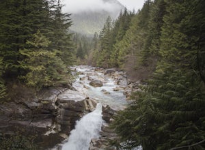
4.5Once you arrive in Golden Ears Park, follow the road to the end and look for signs to the Gold Creek Day Area. The road will turn to gravel, and after you cross a small, one-line bridge, you will reach the parking lot.After you have parked, head north past the yellow gate, marked East Canyon Trai...Read more -
Nanaimo, British Columbia
Scramble Down to Nanaimo's Hidden Cove
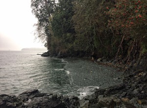
Firstly, use google maps to take you to Stephenson Rd in Nanaimo. About a mile down, the road forks, follow the left road (It says no exit, but the road just ends at a property so you will need to turn around to get back out). Continue down the road another half mile or so and you will see a smal...Read more -
Surrey, British Columbia
Walk the 1001 Steps Trail
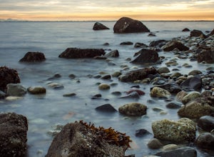
2.00.3 miOne of Surrey's hidden gems, head down to this short trail down a set of stairs that will take you to an uninhabited beach.The zig zagged steps take you down to the Birlington Rail Lines and you can walk along a trail to an opening under the tracks. Head to the beach from here where you will like...Read more -
Whistler, British Columbia
Relax at Alpha Lake Park
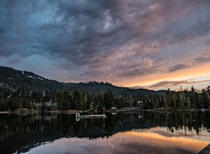
1 miLocated in Whistler Creekside, Alpha Lake Park is one of Whistler's hidden gems. Just off of Lake Placid road on the North Side of the Highway, there is lots of parking in the parking lot, or it is accessible directly via the valley trail for walkers and bikers. To access, turn on to Lake Placid ...Read more -
Whistler, British Columbia
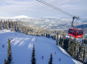
Ski the "Peak To Creek" in Whistler
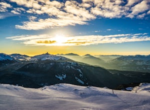
4.0Start at the Creekside Gondola in the Whistler Creekside Village - The village that is closest to Vancouver. There is generally lots of parking in the parkade, although it can get very busy on the weekends. You will need a lift pass, which you can buy at guest services at the base of the Gondola....Read more -
Nanaimo, British Columbia
Catch a Sunset at Sugarloaf Mountain
You can easily put Sugarloaf Mountain Park into your GPS when in Nanaimo, but lets, just say you have an old school map. First make your way from the Island Highway onto Departure Bay Rd. Just before you get to Hammond Bay Rd turn onto Little John Way and take your first left, then take your firs...Read more -
Whistler, British Columbia
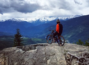
Bike the Whistler Alpine Trail Network
19.9 mi / 4940.9 ft gainDepending on how ambitious your group is, you can start in Whistler Village, or drive up to the Stonebridge trailhead. From the Stonebridge trailhead, you will take the Darwin's trail climb up to the Rainbow flank trail. This is considered to be a normal climb by Whistler standards, but you haven...Read more -
Whistler, British Columbia
Hike the Musical Bumps Trail
15.5 miThe Musical Bumps are a series of rolling summits starting from Whistler Mountain that stretch over to Fissile and the Spearhead Range. It should come as no surprise that each one has a musical name: Flute, Oboe and Piccolo.There are two ways to access this area: you can ride the Whistler Village...Read more -
Whistler, British Columbia
Backpack to Russet Lake
4.0Russet Lake is a beautiful alpine lake at the base of Fissile Peak in the backcountry of Garibaldi Provincial Park. This trip is well suited for two nights but can be accomplished in a full day without a pack.Your starting point is Whistler Village Gondola, then up the Peak 2 Peak Gondola to the ...Read more -
Whistler, British Columbia
Ride the Peak to Peak Gondola
4.8From Whistler Village, purchase your Peak to Peak ticket at the main ticket booth (where you can also purchase ski passes and such). This ticket is good for one ride up the mountain, but then you can stay up there as long as you'd like.Once you have your ticket, head over to the Whistler Gondola...Read more -
Whistler, British Columbia
Ride the Whistler Mountain Bike Park
5.07 mi / 3000 ft gainWhistler mountain features multiple lift accessed riding areas for a wide range of skill levels. From beginner runs such as "EZ does it" all the way up to high speed jump lines "Dirt Merchant" and "A-line" Whistler offers a massive range of terrain to ride for beginners and experts. Fitzsimmons ...Read more -
Whistler, British Columbia
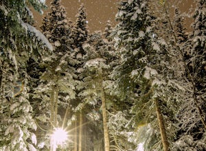
Hike along the Whistler Valley Trail Lit Section
1.2 mi / 164 ft gainThe best place to start you adventure on the Valley Trail at night is at the Whistler Golf Club - Directly across highway 99 from the whistler conference centre. From the parking lot (pay attention to pay parking times), walk west towards the clubhouse, where you will find the entrance to the Val...Read more -
Whistler, British Columbia
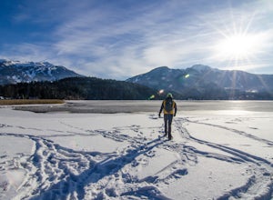
Snowshoe the Rainbow Lake Loop
6 mi / 400 ft gainIn Whistler Village, stop by the information booth and get one of the maps that has the mountain bike paths on it. This will be your map of all the different snowshoeing options in the area, and any of the trails are sure to take you on a fun adventure.From Whistler Village make your way to Rainb...Read more

