Shirley, British Columbia
Looking for the best photography in Shirley? We've got you covered with the top trails, trips, hiking, backpacking, camping and more around Shirley. The detailed guides, photos, and reviews are all submitted by the Outbound community.
Top Photography Spots in and near Shirley
-
Forks, Washington
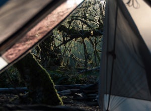
Backpack the Hoh River to Tom's Creek Campground
6 miOlympic National Park plays host to some incredible things, including the Hoh Rainforest. Known for its long hanging moss and crystal clear waters, it's easy to see why this is a popular destination. Spring is the perfect time of the year to visit, the weather is mild and the park is almost empty...Read more -
18113 Upper Hoh Road, Washington
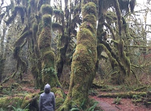
Hoh Rainforest and Hall Of Mosses
4.51.04 mi / 203 ft gainStarting at the Hoh Rainforest Visitor Center, take the only trail out into the forest itself. After a few hundred yards there will be a sign pointing you in the direction of the Hall Of Mosses. Follow signs and a very well-maintained trail over crystal clear creeks and fallen trees until you r...Read more -
Sequim, Washington
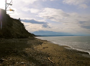
Hike Dungeness Spit
3.511 mi / 130 ft gainPark at a the north side of the Dungeness Spit Recreation Area, in the Refuge parking lot. There is a kiosk at the Refuge where you can pay an entrance fee ($3) and check the Tide Table. Only attempt the hike at low tide or the sand spit becomes narrow and you have to climb over logs.Follow the R...Read more -
Neah Bay, Washington
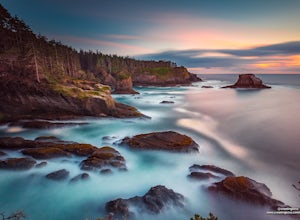
Cape Flattery
4.62.09 mi / 528 ft gainDid you know that Cape Flattery is the northwesternmost point in the continental United States? This is the place where the Straight of Juan de Fuca collides with the Pacific, creating strong currents and loud crashing waves. This short and accessible hike leads you through a forest to an unfor...Read more -
Friday Harbor, Washington
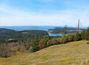
Hike to Young Hill
4.01.2 mi / 650 ft gainFrom the main parking lot at English camp, follow the wide path east and cross West Valley road to the trailhead of Young Hill. The trail switchbacks several times and leads you past the English Camp cemetery. Continue left on the main trail through the forest of Pacific Madrone trees until you r...Read more -
San Juan County, Washington
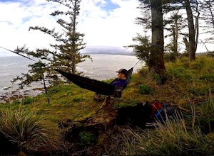
Kayak Camp on Posey Island
A tiny gem within the San Juan Islands, Posey Island is a perfect kayak camping spot for novices, experts, and everyone in between. While the Island only has 2 campsites, each can be reserved ahead of time if you are going May 15th - September 30th. Reservations open each year starting Jan 2nd @ ...Read more -
Friday Harbor, Washington
Hike Mount Grant on San Juan Island
2 mi / 500 ft gainMount Grant Preserve is still in the midst of becoming an official park, but is open to the public for hiking, so you will get to see this amazing spot before it's too crowded. With a trial system currently being made, most people hike up the established road, but there are well marked signs to h...Read more -
Port Angeles, Washington
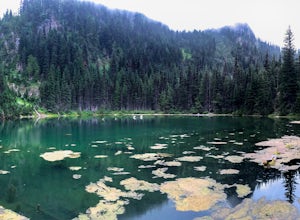
Hike to PJ Lake, Olympic National Park
1.63 mi / 692 ft gainA short and scenic trail of tranquility that leads to the secluded Lake PJ, hidden on Hurricane Ridge. Nothing but nature stirs here. The trail, while well-traveled, is far quieter than others in the surrounding area of Olympic. You might see one other hiker. It is lined with wildflowers and in t...Read more -
Friday Harbor, Washington
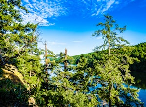
Hike to Lovers Leap on Stuart Island
5 mi / 200 ft gainThis hike is only doable if you are already on Stuart Island! There is no public transportation to Stuart Island, so you must already be there or have a plan to be there in order to complete this hike.I frequent this island during the summer months and it is one of my favorites. I always stay in ...Read more -
Clallam Bay, Washington
Backpack Washington's Ozette Triangle
5.09 mi / 300 ft gainStart at the north end of Ozette Lake and proceed right, following signs to the mostly flat trail leading to Cape Alava. Be sure not to head left towards Sand Point, that is the trail you will use for your return trip. Once you’ve reached the coast, scan the sky for the frequently seen bald eagle...Read more -
Port Angeles, Washington
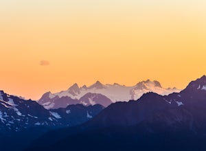
Hike to Elk Mountain from Obstruction Point
5.04 mi / 644 ft gainOlympic National Park is built for someone with a week or more to spare for backpacking deep into the heart of the park's endless miles of wilderness. Between the mountains, the coast, and the rainforest, there is a lot of park to see for someone who is trying to fit their visit into an extended ...Read more -
Port Angeles, Washington
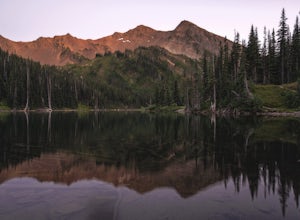
Backpack to Grand Park in the Olympics
5.07.5 mi / 2500 ft gainThe beauty of many of the north coast trails in the Olympic Peninsula is that your car does a lot of the heavy lifting for you. This is certainly true of the Grand Valley Trail, which begins more than a vertical mile above the Strait of Juan de Fuca at the end of the Obstruction Point Road. Six...Read more -
Friday Harbor, Washington
Hike through the American Camp
3 miFor what was once a highly contested and disputed piece of land in the Pacific Ocean, now lays home to one of the most peaceful, tranquil, and historic hikes in the island chain. Start the hike at the parking lot of the San Juan Island National Historic Site American Camp Visitor Center. Proceed ...Read more -
Friday Harbor, Washington
Kayak the San Juan Islands (Johns, Stuart, and Henry)
5.0The San Juan Islands are one of the most stunning places you could go for a paddle. If you can go for a 3-5 day (or even longer) expedition you will get the most out of it.Start off in Friday Harbour, and get dropped off at one of the launching beaches. Many expedition operators work in Friday Ha...Read more -
Port Angeles, Washington
Backpack 1000 Acre Meadows
45.1 mi / 10750 ft gainThere are many different ways to reach 1000 Acre Meadows, but this guide will get you there starting at the Deer Park trailhead (5,400').Day 1: 14 miles You will start out by descending 2,400' and 4.3 miles to reach the Graywolf Camp. This is where the loop meets up with itself later on. Our goal...Read more -
Mayne Island, British Columbia
Kayak Bennett Bay
4.0The tiny island of Mayne is located in the chain of Gulf Islands just off the coast of Vancouver Island. For a small Island that can be biked across in a couple of hours, it offers some amazing views and photo opportunities. Mayne Island is just a stop away from Victoria and is located right abov...Read more

