British Columbia
Looking for the best running in British Columbia? We've got you covered with the top trails, trips, hiking, backpacking, camping and more around British Columbia. The detailed guides, photos, and reviews are all submitted by the Outbound community.
Top Running Spots in and near British Columbia
-
Whistler, British Columbia
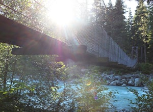
Camp at Cal-Cheak
4.7Where the beautiful Callaghan and Cheakamus Rivers converge, there is a great campsite aptly named after these two turquoise rivers. This is a quiet area, shaded by huge stands of West Coast forest, and easily accessible from HWY 99, about 20 minutes south of Whistler Village.Hiking and mountain ...Read more -
Comox-Strathcona D, British Columbia
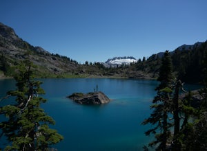
Hike to Cream Lake, BC
12.4 mi / 1312.3 ft gainThe hike to Cream Lake starts at the trailhead for the Bedwell Lake trail, which you can find directions to here.From Bedwell Lake the trail to Cream Lake heads Eastward from the campground (past the outhouse), and begins climbing steadily. Shortly you will reach a waterfall with the trail climb...Read more -
Fanny Bay, British Columbia
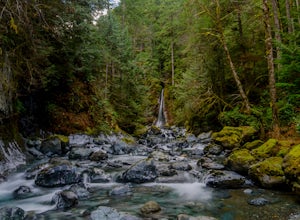
Rosewall Creek Falls
4.33.84 mi / 515 ft gainStarting at the Rosewall Creek Provincial Park parking lot you take the trail upstream of the creek passing under the inland island highway bridge. This trail eventually leads out of the provincial park boundary, but don't worry you haven't gone too far. It is about a 7 km roundtrip hike and the...Read more -
Sooke, British Columbia
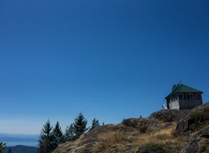
Hike Mount Manuel Quimper
The Sooke Hills is a geographic region of low hills with elevations between 350m (Mt. Wells) to a high of 682m (Mt. Empress), located in the area bounded on three sides by Highway 1 to the east, Highway 14 to the south and the Sooke River to the west. Though heavily logged 100+ years ago, in the ...Read more -
Comox-Strathcona C, British Columbia
Hike Mount Albert Edward
5.019.9 mi / 3280.8 ft gainMount Albert Edward is hard to miss. If you have ever driven up to Mount Washington you will remember the unique profile of this mountain to the west of Raven Lodge. Its long, drawn out scree ridge ends dramatically in a ski jump style peak before falling off into the abyss below. The Grinch hims...Read more -
Sooke, British Columbia
Hike East Sooke Park
Sitting very close to the southernmost point of Vancouver Island, facing west towards the mouth of the Strait of Juan de Fuca and the open Pacific Ocean, East Sooke Park is a unique and magical place for a hike or trail run. Your first visit will spark the desire to keep returning, to keep explor...Read more -
Comox-Strathcona D, British Columbia
Hike to Baby Bedwell & Bedwell Lake
5.07.5 mi / 2132.5 ft gainDriving: From Campbell River, take Highway 28 West to the bridge over Upper Campbell Lake/Buttle Lake. Do not cross the bridge, but take the road down the East side of Buttle Lake. Follow Buttle Lake road south to Jim Mitchell Lake road which is on the left just after the Thelwood Creek Bridge. ...Read more -
Comox-Strathcona C, British Columbia
Hike Across the Spine of Vancouver Island
21.7 mi / 7217.8 ft gainLet's go on an adventure, shall we?Vancouver Island is 460km/285mi in length and 100km/62mi in width at its widest point, with a coastline covering 3,400km/2,138mi. On the northern end of the Vancouver Island, rugged beaches give way to thick coastal forest. Eventually the land climbs upward be...Read more -
Comox-Strathcona C, British Columbia
Hike Mount Becher
Trail access begins at the end of Forbidden Plateau Road, at the site of the old abandoned ski lodge. It is an ugly place to begin a hike to such a beautiful summit, but do not let that deter you. Past the trash of forest parties, around the remnants of the old ski lodge and over the washed out r...Read more -
Victoria, British Columbia
Hike around Thetis Lake
4.51.9 mi / 196.9 ft gainTake Highway 1 west from Victoria. Turn onto Exit 10 (View Royal/Colwood) and continue on the Island Highway. Turn right at Six Mile Road, which leads straight to Thetis Lake Regional Park.Note that this park is also accessible by bike via the Galloping Goose Trail.With minimal elevation (~60m) a...Read more -
Yale, British Columbia
Hike & Swim at Falls Lake, BC
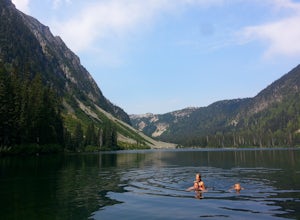
3.0Usually the Coquihalla is a means of a way to get from Point A to Point B, but why drive past all that rugged B.C. beauty? Skip the usual travel rest stops and have a micro adventure while passing through the transition zone between B.C.'s coastal and interior landscapes.The trailhead is 1km (0.6...Read more -
Comox-Strathcona C, British Columbia
Hike to Cruikshank Canyon Lookout
5.012.4 mi / 2854.3 ft gainTravelling through pristine sub-alpine terrain, and past endless crystal clear lakes, the trail to the lookout is loaded with awesome scenery. The icing on the cake is reaching the Canyon and enjoying lunch at the lookout, complete with Whiskey Jacks and 180 degree mountain and valley views. If...Read more -
Columbia-Shuswap B, British Columbia
Hike to Miller and Eva Lakes in Mount Revelstoke NP
4.09.3 mi / 587.3 ft gainMount Revelstoke, located in the Columbian Range on the border of Alberta and British Columbia, is the only summit in the Canadian Rockies you can reach by car. The windy road from the Trans-Canadian highway rises about 4000 ft. offering increasingly expansive views of the valley below. The park ...Read more -
Comox-Strathcona D, British Columbia
Hike to Flower Ridge
20 mi / 5445 ft gainWith a name like Flower Ridge, who wouldn't want to add this hike to their bucket list?The Flower Ridge trailhead is located approximately 26kms down the Buttle Lake Parkway, towards Westmin Mine, in Strathcona Provincial Park. A classic Island alpine approach, you will be more than warmed up af...Read more -
Nanaimo F, British Columbia
Summit Mt. Cokely via the Historic CPR Trail
5.012.4 mi / 1000 ft gainThe trail from Cameron Lake to the top of Mount Cokely (5302') provides the most ready access to the alpine on Southern Vancouver Island. The route is straightforward and non-technical, albeit physically challenging. Expect to spend 6-8+ hours if hiking the entire route described below (which we ...Read more -
Victoria, British Columbia
Beacon Hill Park
5.0Beacon Hill Park is the jewel of Victoria's crown. Spanning 200 acres and connecting Downtown to the ocean alongside Dallas Road, Beacon Hill Park is one of the highlights of visiting the Capitol city on Vancouver Islands southern tip. Every corner of the park features unique flora, fauna and p...Read more

