Pender Island, British Columbia
Top Spots in and near Pender Island
-
Bow, Washington
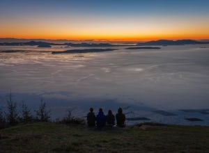
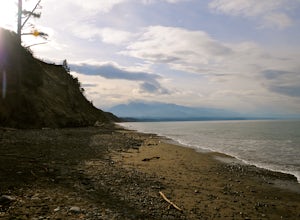
The sunset is amazing at Sammish Overlook. The view is the definition of panoramic and you almost have to strain your eyes because there is so much to look at. Plan to arrive before sunset if you want to capture some photos. This is a great "date spot" and you're likely to see couples up here pic...
Read more
-
Nanaimo, British Columbia
You can easily put Sugarloaf Mountain Park into your GPS when in Nanaimo, but lets, just say you have an old school map. First make your way from the Island Highway onto Departure Bay Rd. Just before you get to Hammond Bay Rd turn onto Little John Way and take your first left, then take your firs...
Read more
-
Coquitlam, British Columbia
To reach the trailhead, follow Harper Road until you reach the Port Coquitlam Gun Club, then park along the side of the road. Walk past the yellow gate and take the first trail to your left. About 10 minutes down the trail, you will reach a gravel logging road. Take an immediate left down the pat...
Read more
-
Coquitlam, British Columbia
Important: if you are planning on bringing a dog, and they are skittish around loud noises make sure to keep them leashed. This trail is beside the gun club and can spook dogs. You stop hearing the guns once you reach the powerline roadTo reach the trailhead, follow Harper Road until you reach th...
Read more
-
North Vancouver, British Columbia
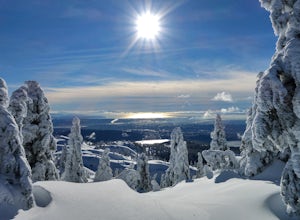
You'll see traction of all sorts in the Mt. Seymour area during Winter months, including: yak tracks, microspikes, crampons, snowshoes, skis (with and without skins), and my personal favourite, the magic carpet.The Mt. Seymour trail parallels the Seymour downhill ski area. It follows up and over...
Read more
-
Shirley, British Columbia
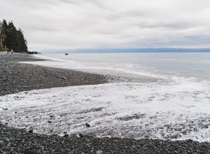
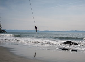
The adventure begins during the rugged wooded hike from the gravel parking lot to the stunning beach (10 minutes). Once you reach the stone and pebble beach, plant yourself down to enjoy the 180 degree view of the Juan de Fuca Strait (and a picnic lunch if you’ve come prepared!).Head east to find...
Read more
-
Nanaimo, British Columbia
4.8
2.69 mi
/ 558 ft gain
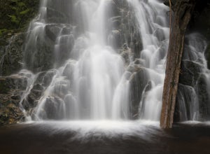
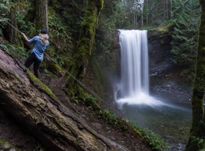
The falls cascades off of a sheet of rock that is filled with Ammonite fossils, thus the name Ammonite Falls!
The trailhead is very distinct and has a parking lot close to the start of the trail. From the Nanaimo Parkway (#19) head onto Jingle Pot Road. Follow that for a few kilometres and turn ...
Read more
-
Port Renfrew, British Columbia
If you have your eye on Vancouver Island as an adventure destination - and we hope that you do - then you likely already know that our Island is not only home to a diverse and unique alpine hiking scene, but that it also offers 3 (+) world-class long distance hiking routes along our coastline. Fr...
Read more
-
Port Renfrew, British Columbia
Head west from Victoria along Highway 14 past Sooke and Jordan River until you see the Juan De Fuca Marine Trail - China Creek trailhead about 5km past Jordan River on the West Coast Road. Ample signage, parking, and outhouses are available here.The trail taking you to Mystic Beach is just one s...
Read more
-
Lions Bay, British Columbia
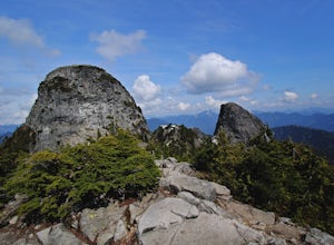
Find parking in a small gravel lot and be careful to park to the left of the sign, as cars do get towed in this area. Cross through the yellow road gate and begin by ascending the gravel road that provides moderate switchbacks before reaching a junction with the Mount Harvey trail, and keep right...
Read more
-
Lions Bay, British Columbia
5.0
8.75 mi
/ 5100 ft gain
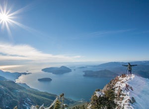
Driving north from Vancouver along the Sea to Sky Highway (HWY 99) turn off at Lions Bay exit and park at the end of Sunset Dr.N 49.470653225392105, -123.23479324579239 WThe trail begins on a gravel service road which winds up for 30 minutes. Take a left at the fork where a sign on the tree reads...
Read more
-
Port Renfrew, British Columbia
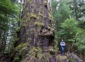
I’m blessed with a husband who is crazy enough to agree to my endless adventures! When I suggested we go find the tallest Douglas Fir Tree in the world, and we happened to be in the area, my husband again said, “why not!”For anyone who just has to see it for themselves, here’s some directions:Fo...
Read more
-
Sequim, Washington
Park at a the north side of the Dungeness Spit Recreation Area, in the Refuge parking lot. There is a kiosk at the Refuge where you can pay an entrance fee ($3) and check the Tide Table. Only attempt the hike at low tide or the sand spit becomes narrow and you have to climb over logs.Follow the R...
Read more
-
Port Angeles, Washington
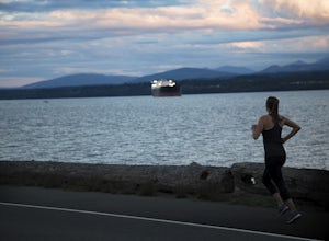
Ediz Hook or as locals call it, "the Spit" is a 3 mile long sand spit that extends out from Port Angeles along the Juan De Fuca. The views of the surrounding mountains and Vancouver Island, the marine life, beaches, and picnic areas make this a prime spot for a memorable run.
We parked at the lo...
Read more
-
Mount Vernon, Washington
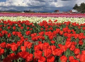
Skagit Valley is an important agricultural region of Washington State, but the prettiest time of year to attend is during the spring when flower season takes hold. Daffodils first, then tulips, and then irises bloom and cover fields as far as the eye can see.
The Skagit Tulip Festival is held eve...
Read more
-
Pitt Meadows, British Columbia
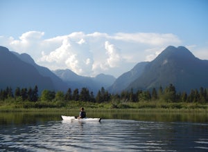
The 12km (7.5 mi) drive on Neaves Road to Pitt Lake from Pitt Meadows is one of BC's most scenic routes. As soon as you start this section of the drive you already feel miles from the city, but this route is only 30-45 minutes from Vancouver, depending on city traffic.Once you reach the parking l...
Read more

