Pender Island, British Columbia
Looking for the best photography in Pender Island? We've got you covered with the top trails, trips, hiking, backpacking, camping and more around Pender Island. The detailed guides, photos, and reviews are all submitted by the Outbound community.
Top Photography Spots in and near Pender Island
-
Anacortes, Washington
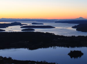
Hike to the Summit of Mt. Erie
4.05 mi / 900 ft gainTo start this hike, jump on trail 215 for a short distance of about a 1/4 mile. From here, continue until you cross trail 320 and head left onto it. Stay on 320 until you come across trail 230.Take 230 uphill (resembles an old fire road) toward the ravine just above a creek. From here, head onto ...Read more -
Bellingham, Washington
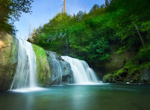
Pixie Falls
2.00.45 mi / 125 ft gainPixie Falls can be accessed during any season; however it’s most enjoyable during the spring and summer months. This waterfall and swimming hole combo is the perfect way to escape the heat and the crowds. On any given day, there will typically be less than 10 people who access the falls. Pixie is...Read more -
West Vancouver, British Columbia
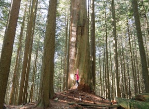
Hike Up Brothers Creek Loop
4.3 mi / 1312.3 ft gainThe directions to get to this location are a bit scattered as you need to weave through the upper streets of the British Properties. Driving Instructions If you are coming along Highway #1, take the Taylor Way exit and turn right (coming from the east) or left (coming from the west) onto Taylor W...Read more -
Belcarra, British Columbia
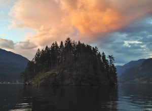
Hike the Jug Island Trail
4.7From the parking lot at Belcarra Regional Park, follow the Jug Island Trail. It is well marked and well walked so it's near impossible to wander off in the wrong direction! The beach near Jug Island is at the very tip of the peninsula and offers beautiful views of the Indian Arm and surrounding m...Read more -
North Vancouver, British Columbia
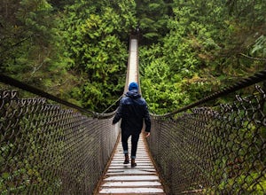
Explore the Lynn Canyon Suspension Bridge
4.4Lynn Canyon Suspension Bridge spans Lynn Canyon and is located near the popular Lynn Headwaters Park. To get there, exit the Trans Canada Highway onto Lynn Valley Road. Shortly after passing through the centre of the Lynn Valley community, turn right onto Peters Rd. This road will turn into "P...Read more -
North Vancouver, British Columbia
Photograph the Cleveland Dam
4.0Once you park in the parking lot near the dam, its fairly easy to tell where it is, and how to get there. The awesome spillway looks like one of the worlds most dangerous slides, (don't slide down it), and Capilano Lake and the peaks of the Lions make for a great backdrop in North Vancouver. Ph...Read more -
Belcarra, British Columbia
Hike the Springboard Trail and Explore Woodhaven Swamp
5.9 mi / 1312.3 ft gainFrom the parking lot at Woodhaven Swamp, head down the wooden steps to the lower path and then follow the path clockwise, passing over a small boardwalk bridge at the east end of the wetland. At the west side of the swamp, look out for a smaller trail that veers off on the left and follow that as...Read more -
West Vancouver, British Columbia
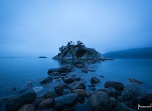
Explore WhyteCliff Park, West Vancouver
4.4Escape to the vanishing horizon of the Pacific Ocean, where time is measured by the rhythm of waves.Located near West Vancouver's Horseshoe Bay neighbourhood, Whytecliff Park is home to more than 200 marine animal species and is one of the first Marine Protected Areas in Canada. You're almost gua...Read more -
North Vancouver, British Columbia
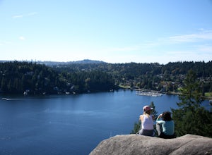
Hike Quarry Rock
3.82.4 mi / 328.1 ft gainDeep Cove is a cozy little town located at the base of Mt. Seymour, lying on the shores of the Indian Arm which is a branch of the Burrard Inlet in North Vancouver. In autumn, the tree-lined streets glow orange in the sunlight and the sailboats, kayakers and paddleboarders fill the harbour with ...Read more -
Bellingham, Washington
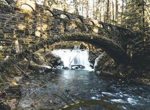
Whatcom Falls
0.13 mi / 20 ft gainWhatcom Falls is easily accessible within Whatcom Falls Park. It is less than a 2 minute walk from the parking lot to the bridge overlooking Whatcom Falls. This is a nice place to checkout with good company if you don't have a lot of time to enjoy the fresh air.Read more -
North Vancouver, British Columbia
Hike Rice Lake
3.4Walk down Rice Lake Road, cross the bridge, and follow the pathway towards the park ranger buildings. Past the buildings you will find a gravel path going into the trees, which will take you towards a fence beside the trail. Continue on the path towards the lake, while the trees and moss along th...Read more -
Anacortes, Washington
Pacific NW Trail in Deception Pass State Park
5.02.12 mi / 259 ft gainStarting from the Rosario Beach parking lot, the trail heads out past a large recreation area for families and into a wooded area leading up to Rosario Head. At this point in the trail there are beaches on either side that provide a great opportunity to explore some tidal pools. If you choose to...Read more -
North Vancouver, British Columbia
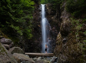
Hike to Norvan Falls
4.38.7 miThe trail starts in Lynn Headwaters Regional Park. This is a fantastic day hike that give you just enough of a challenge but isn't too long. It's about 14km to the norvan waterfalls and back ( 7km each way) and it totally work the walk. There is very minimal gain on this hike. The first bit of th...Read more -
Oak Harbor, Washington
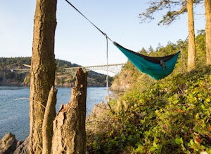
Camp & Hike at the Deception Pass Headlands
5.05 miTHE TRAIL: On the north side of the bridge, you'll come across Rosario Rd. Take this down to the Bowman Bay parking lot and your trailhead begins here. Take a moment to walk out on the fishing pier or watch what people are catching before you continue south on the trail towards Lottie Bay/Lightho...Read more -
Oak Harbor, Washington
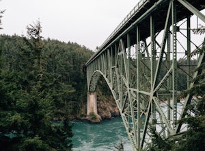
Photograph the Deception Pass Bridge
4.5Once you've parked your car, there is a $10 fee which can be paid at the station right next to the bridge unless you have a Discover Pass. From there, you can either go down the stairs to the beach or continue to walk across. Towards the middle, there are some stairs to get down and take some pho...Read more -
West Vancouver, British Columbia
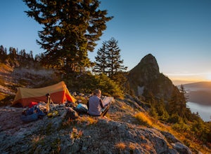
Hiking the Howe Sound Crest Trail
18 mi / 6000 ft gainDistance: 18 miles / 29 kms.Duration: 1 - 3 DaysElevation Gain: 6000 ft. / 1800 m.Magnesia Meadows: 49.483708, -123.190377The Howe Sound Crest Trail (HSCT) is one of the most epic hiking trips one can do in the Vancouver area. The trail is entirely located within the Cypress Mountain Provincial P...Read more

