Top Spots in and near Okanagan-Similkameen H
-
Fraser Valley D, British Columbia
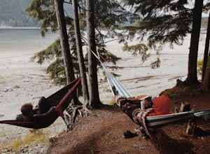
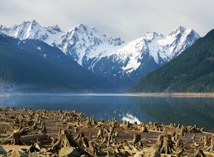
Southwest of Hope and just east of Chilliwack, Jones Lake is a recreation site at a reservoir lake in the coastal mountain range, managed by BC Hydro. Set below granite mountain peaks and surrounded by a dense forest (that is unfortunately being logged), this lake isn't pristine, but it sure is p...
Read more
-
Fraser Valley D, British Columbia
Jones Lake Reservoir is approximately 25 km southwest of the town of Hope, British Columbia. Directly off of BC Highway #1 at the community of Laidlaw. To reach the lake, you will have to drive 9 km (5.6 mi.) on a steep and pretty beat up gravel road. The Jones Lake Forest Service Road is car ac...
Read more
-
Fraser Valley E, British Columbia
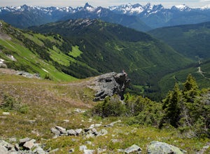
Even at the parking lot, there is a stunning view of Lady Peak and Mount Cheam. Walk towards the big pile of logs and towards the old logging road. You will also see an outhouse – this will be your one and only time to use a toilet, so go now. The road continues for about 15 min. before reaching ...
Read more
-
Fraser Valley D, British Columbia
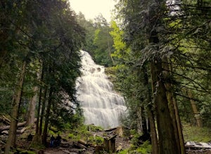
Located only a short distance from the Trans-Canada highway is the Bridal Veil Falls Provincial Park. The park is a great area for a picnic lunch, but the highlight of the park is the almost 200 ft. (60 meter) waterfall. The location of the park and the duration of the hike to the waterfall make ...
Read more
-
Okanogan County, Washington
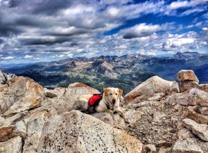
Remmel Mountain (8685 ft), the former site of a fire lookout, is a massive pile of granite and a wonderful destination for panoramic views of the rugged Pasayten Wilderness. The mountain itself can be accessed from several trailheads and although there are no short routes to the base of the moun...
Read more
-
Rockport, Washington
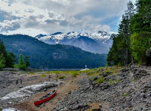
Start from the Ross Lake Trailhead off Highway 20. Hike down with your vessel 1.5 miles to the hull road. From there you can launch your vessel.
Ross Lake is very large with many destinations to paddle to. I went to Cougar Island and Rainbow Point then paddled up to multiple spectacular wate...
Read more
-
Rockport, Washington
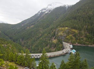
This is a short hike at just under 2 miles round-trip, with little elevation change. The trail begins at a parking area, alongside Washington Route 20. The hike takes you through the forest to an overlook of both Ross Dam and Ross Lake, before making the final descent down to the dam. The trail i...
Read more
-
Okanogan County, Washington
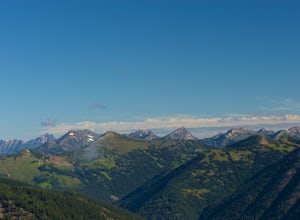
Direction are from Mazama, WA. From Mazama drive west on the Lost River Road for approximately 19 miles to Hart's Pass. Note that the pavement ends around 7 miles from Mazama and the road becomes FS RD 54. The drive up to Hart's Pass is fairly exposed in one spot and has unnerved several of my ...
Read more

