Okanagan-Similkameen H, British Columbia
Looking for the best backpacking in Okanagan-Similkameen H? We've got you covered with the top trails, trips, hiking, backpacking, camping and more around Okanagan-Similkameen H. The detailed guides, photos, and reviews are all submitted by the Outbound community.
Top Backpacking Spots in and near Okanagan-Similkameen H
-
Okanagan-Similkameen H, British Columbia
Hike to Illal Meadows & Illal Peak
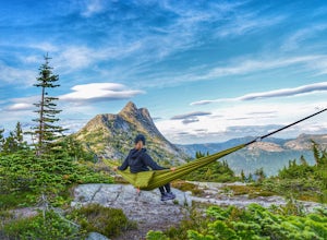
3.06.2 mi / 1968.5 ft gainTo access Illal Meadows, you have to take a little spur road off of the Tulameen Forest Service Road. This spur road is described as being accessible with high clearance 2WD before turning into a 4WD road.The first part follows an old, overgrown, flat logging road to the south branch of Illal Cr...Read more -
Yale, British Columbia
Hike & Swim at Falls Lake, BC
3.0Usually the Coquihalla is a means of a way to get from Point A to Point B, but why drive past all that rugged B.C. beauty? Skip the usual travel rest stops and have a micro adventure while passing through the transition zone between B.C.'s coastal and interior landscapes.The trailhead is 1km (0.6...Read more -
Yale, British Columbia
Hike Yak Peak
5.03.4 mi / 2755.9 ft gainThe granite slab of Yak Peak is easily identified by those passing by on the Coquihalla Highway. What most don't know is there is a hiking trail and climbing opportunities, both offering amazing 360 degree views of the Zopkios range and beyond.This hike starts at the Zopkios rest area (across the...Read more -
Yale, British Columbia
Summit Needle Peak
5.08.1 mi / 2893.7 ft gainMake your way to the Zopkios exit (#217) on the Coquihalla Highway (Hwy 5), which is almost exactly halfway between the Lower Mainland and the Okanagan of BC. The trailhead is off the pipeline service road on the opposite side of the highway as the rest stop. The hike can be done in one day, but ...Read more -
Yale, British Columbia
Hike to Tasty Lake
8.1 mi / 2894 ft gainTo Needle PeakTotal Distance: 13.0 km (return)Estimated Time: 4 - 7 hoursAverage Grade: 13.6%Structure: Linear - ReturnElevation Gain: 882 mStart Elevation: 1210 mMax Elevation: 2092 mTo Small LakeTotal Distance: 13.0 km (return)Estimated Time: 4 - 6 hoursAverage Grade: ...Read more -
Manning Park, British Columbia
Backpack the Heather Trail, BC
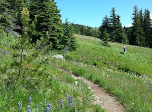
24.9 mi / 1138.5 ft gainThis hike begins in the middle of Manning Park, with a drive up to the trail-head. This means you get all the benefits of alpine views and fields of wildflowers in the summer months, without hiking the elevation gain. Manning Park is on the Crowsnest Highway (BC-3). Across the highway from the ...Read more -
Manning Park, British Columbia
Hike to Mt. Frosty, EC Manning Provincial Park
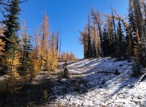
14.2 mi / 5433.1 ft gainThe larch meadows on the approach to Mt. Frosty are known for 2 things: 1. Wild flowers during the summer and 2. Larches during the autumn.The trail climbs up the south end of Lightning Lake; it is well groomed and graded all the way up. The steepest section is the climb out of Lightning Lakes – ...Read more -
Hope, British Columbia
Cycle the Kettle Valley Rail-Trail
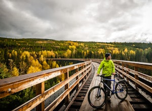
4.0Top 10 Areas of Interest - from West to East (1) Coquihalla Canyon Provincial Park(2) Red Ochre cliffs in the Tulameen(3) Trout Creek Trestle & The Kettle Valley Steam Train(4) Penticton's Munson Mountain & the Naramata Bench(5) The Little & Big Tunnel above Naramata(6) Myra-Bellevue ...Read more -
Fraser Valley E, British Columbia
Hike to Porcupine Peak
6.8 mi / 4265.1 ft gainPorcupine Peak (also known as Goat Peak) is a little known trail that begins beside the popular Lindeman and Greendrop Lakes trailhead. The hike is tough, going straight uphill for a significant portion, with some ups and downs right before reaching the peak. The trailhead is a bit tricky to fin...Read more -
Okanogan County, Washington
Backpack to Remmel Mtn. & Four Point Lake
5.0Remmel Mountain (8685 ft), the former site of a fire lookout, is a massive pile of granite and a wonderful destination for panoramic views of the rugged Pasayten Wilderness. The mountain itself can be accessed from several trailheads and although there are no short routes to the base of the moun...Read more

