Mission, British Columbia
Top Spots in and near Mission
-
Fraser Valley E, British Columbia
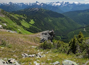
Even at the parking lot, there is a stunning view of Lady Peak and Mount Cheam. Walk towards the big pile of logs and towards the old logging road. You will also see an outhouse – this will be your one and only time to use a toilet, so go now. The road continues for about 15 min. before reaching ...
Read more
-
Bellingham, Washington
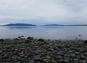
The trail to Locust Beach is very easy to find. Parking on Locust Avenue is available from dawn to dusk on the side of the road, and in a small gravel lot. Follow the road towards the water, and continue right on a small but well-marked trail down to the beach. Be careful - the stairs are kind of...
Read more
-
Belcarra, British Columbia
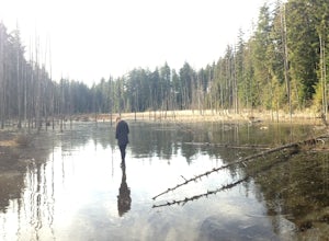
From the parking lot at Woodhaven Swamp, head down the wooden steps to the lower path and then follow the path clockwise, passing over a small boardwalk bridge at the east end of the wetland. At the west side of the swamp, look out for a smaller trail that veers off on the left and follow that as...
Read more
-
Harrison Mills, British Columbia
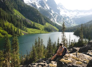
Statlu Lake is a hidden gem in the Harrison area.
Start your journey at the Harrison West Forest Service Road. This road is pretty well maintained, and a piece of cake for any 4x4 vehicle but high clearance is always helpful, especially for the last bit of road up the hill to the trailhead. It wo...
Read more
-
Belcarra, British Columbia
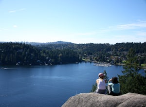
From the parking lot at Belcarra Regional Park, follow the Jug Island Trail. It is well marked and well walked so it's near impossible to wander off in the wrong direction! The beach near Jug Island is at the very tip of the peninsula and offers beautiful views of the Indian Arm and surrounding m...
Read more
-
Belcarra, British Columbia
Park your car at the Belcarra Regional Parking Lot and head into the forest. There will be a trail marker beside the playground. Walk about 5 mins along this trail and cross the road. There will be two trails - take the one on the left and follow this trail uphill.
The trail is very well marked a...
Read more
-
Deming, Washington
4.7
5.5 mi
/ 1500 ft gain
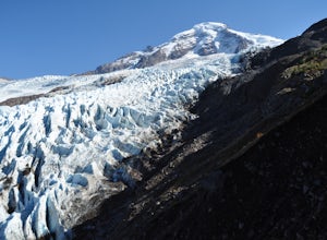
Starting at the marked Heliotrope Ridge parking lot of FS Road 39, just 8 miles out of the quaint town of Glacier, Washington, you begin your ascent to the glacier viewpoint. The trailhead sign indicates that it is a strenuous 2,000 ft gain over 2.5 miles up to the overlook.This clearly cut trail...
Read more
-
North Vancouver, British Columbia
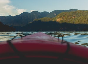
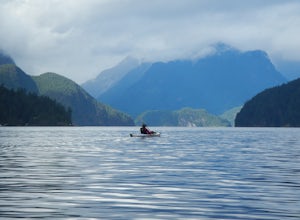
Only 30 minutes from downtown Vancouver, Deep Cove is a great place to paddle in tranquil ocean waters. You can rent ocean kayaks, canoes and stand-up paddle boards from Deep Cove Kayak.The bay in front of the community is one of the few in Indian Arm that has both a sheltering shape and the shal...
Read more
-
North Vancouver, British Columbia
Setting out from Deep Cove’s pebble shoreline, it only takes a few minutes before you are away from small village and paddling the calm waters of this gorgeous arm. Seals can be frequently spotted as you follow the path of off oceanfront homes, some living off the grid, deeper into the mountains....
Read more
-
Bellingham, Washington
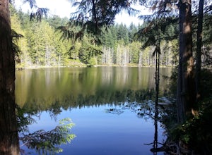
These two quaint lakes in the Chuckanuts are a must-do for people looking for a day hike, short camping trip or steep trail run in the Bellingham area. Starting at the trailhead off of Old Samish Road, one begins the 2 mile ascent to the two lakes. The first 1,400ft climb has its fair share of up...
Read more
-
North Vancouver, British Columbia
3.8
2.4 mi
/ 328.1 ft gain
Deep Cove is a cozy little town located at the base of Mt. Seymour, lying on the shores of the Indian Arm which is a branch of the Burrard Inlet in North Vancouver. In autumn, the tree-lined streets glow orange in the sunlight and the sailboats, kayakers and paddleboarders fill the harbour with ...
Read more
-
Bellingham, Washington
On Chuckanut Drive (State Route 11) pull off onto a small, unmarked, one-way road that offers parking for Teddy Bear Cove before quickly rejoining the road. There is space to pull over on the road for approximately 15-20 cars. If you are heading North to South, the road is on your right, if headi...
Read more
-
Deming, Washington
Wells Creek Falls is an incredible waterfall nestled in a tight canyon below Mt. Baker. The falls plunges 93-ft. over a volcanic cliff face and envelops the small amphitheater below in a cloud of mist. From there, Wells Creeks snakes through the canyon and enters Bar Creek on the opposite side of...
Read more
-
Deming, Washington
Sholes Creek Falls is not easy to reach, but it is entirely worth the journey. The creek plunges over a two-tiered drop in stages of 62 and 103 feet into a massive amphitheater, which flows into Bar Creek. The waterfall is framed by massive columns of volcanic rock that dwarf the falls, in compar...
Read more
-
North Vancouver, British Columbia
The elevation gain to first peak is approximately 451m and is about 9km.There are several ways to get to the top, each trail is marked well. One way is to follow the ski run up to brockton point and then take the turn off to Mount Seymour. Do not follow the Elsay Lake trail as it's signifciantly ...
Read more
-
North Vancouver, British Columbia
From the end of the parking lot next to the BC Parks sign board, walk towards the ski run and follow it uphill to a green sign on the left. The first trail goes to Dog Mountain, another scenic and shorter hike then Mount Seymour. Instead, follow the trail that heads uphill and parallel to the ski...
Read more

