Maple Ridge, British Columbia
Looking for the best photography in Maple Ridge? We've got you covered with the top trails, trips, hiking, backpacking, camping and more around Maple Ridge. The detailed guides, photos, and reviews are all submitted by the Outbound community.
Top Photography Spots in and near Maple Ridge
-
Chilliwack, British Columbia
Hike to Elk Mountain
4.74.3 mi / 2624.7 ft gainElk Mountain is one of the not so hidden-hidden gems in Chilliwack, BC. Clocking in at around 4 hours return it is an easy day hike offering beautiful views of the Fraser Valley and surrounding mountains. Reaching around 1500m in only 3.5 km, this trail is steep, but beautiful forest and mountain...Read more -
Squamish-Lillooet D, British Columbia
Hike to Deeks Lake
3.07.5 mi / 3280.8 ft gainBegin the Deeks Lake trail at the Lions Bay parking lot (same entrance as the Howe Sound Crest Trail) just off of Highway 99 North. The pullout is right before Porteau Cove Provincial Park. Begin by walking past the yellow gate and taking an immediate right into the trail where you will begin y...Read more -
Bellingham, Washington
Explore Teddy Bear Cove
4.0On Chuckanut Drive (State Route 11) pull off onto a small, unmarked, one-way road that offers parking for Teddy Bear Cove before quickly rejoining the road. There is space to pull over on the road for approximately 15-20 cars. If you are heading North to South, the road is on your right, if headi...Read more -
Eastsound, Washington
Kayaking at Point Doughty State Park
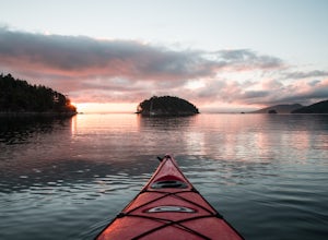
The easiest way to explore this area is through Outer Island Excursions, which offers a 3-hour kayaking tour from Smuggler’s Villa Resort on Orcas Island (they also offer various tours of the surrounding islands).The tour begins with a paddle down the North Shore of Orcas Island to Point Doughty ...Read more -
Fraser Valley D, British Columbia
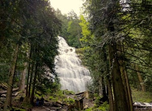
Explore Bridal Veil Falls in Chilliwack
4.00.5 mi / 164 ft gainLocated only a short distance from the Trans-Canada highway is the Bridal Veil Falls Provincial Park. The park is a great area for a picnic lunch, but the highlight of the park is the almost 200 ft. (60 meter) waterfall. The location of the park and the duration of the hike to the waterfall make ...Read more -
Squamish-Lillooet D, British Columbia
Hike to Watersprite Lake
5.08.9 mi / 2772.3 ft gainThe trailhead starts at an old service road and follows it for around 3 km until the trail turns left, off the old service road. Watch for flagging tape as this turn is often missed. Once off the service road, the trail immediately goes down and winds through a meadow with beautiful lakes and ama...Read more -
Mayne Island, British Columbia
Kayak Bennett Bay
4.0The tiny island of Mayne is located in the chain of Gulf Islands just off the coast of Vancouver Island. For a small Island that can be biked across in a couple of hours, it offers some amazing views and photo opportunities. Mayne Island is just a stop away from Victoria and is located right abov...Read more -
Bellingham, Washington
Hike to Fragrance Lake
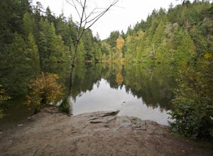
4.75.5 mi / 950 ft gainTake Chuckanut Drive to the trailhead which is located directly across from the entrance to Larrabee State Park. A small lot in front of the trail has space for 8-10 cars, or you can park at the State Park and walk across the road (carefully!) to reach the trailhead. Either way you will need a Di...Read more -
Olga, Washington
Hike to the Mount Constitution Summit
5.07 mi / 1500 ft gainThis 7 mile round-trip hike takes you to the mountain's summit. From here you'll be able to take in an amazing view. During the hike, you'll head around the left side of Mountain Lake, and then continue on to Twin Lakes, before starting your jaunt to the top of Mt. Constitution. The hike around ...Read more -
Deming, Washington
Summit Church Mountain
8.5 mi / 3750 ft gainStart by driving roughly 2.5 miles up Forest Road 3040, conveniently named E Church Mt Road, to the trailhead. The road is bumpy, but lacking the pot-holes that occupy many of the other forest roads. The only issue comes at 2 miles in where a stream runs over the road and has eroded a small ditch...Read more -
Britannia Beach, British Columbia
Hike and Climb the Chief
4.56.8 mi / 1968.5 ft gainIf you are hiking this spot, you can do so even as a beginner so long as you have a good fitness level. I’ve seen people do this in jeans and dress shoes, although they are crazy. Wear some hikers and prepare to get your sweat on. There are three peaks, first is the most popular, second has the b...Read more -
Squamish, British Columbia
Hike Al's Habrich Trail
3.07.4 mi / 3130 ft gainWe arrived at the Sea to Sky Gondola in the early morning and rode up to the top in the gondola to where the trailhead was. Once at the top there was a gift shop and a suspension bridge with a wooden viewing platform. The trail goes to the left of the complex down an old logging road. It is well ...Read more -
Squamish, British Columbia
Snowshoe Al's Habrich Trail
3.7 mi / 1312.3 ft gainStrap on your snowshoes and head up to the Sea to Sky Gondola in Squamish, about a 45 minute drive from Vancouver. You can either take the gondola up (~$40), or hike up the Sea to Sky Summit trail that begins near the parking lot to the chief to get to the trailhead for Al's Habrich. If doing the...Read more -
Squamish, British Columbia
Hike the First Peak of the Stawamus Chief
2.5 mi / 1600 ft gainJust a short drive up the Sea to Sky Highway is one of my favorite hikes near Vancouver. There are two options; the hike to first peak, or the hike to second and third peak. First Peak brings you to an epic view over Sqawmish, the Sea to Sky, and the Pacific Ocean. It is a perfect hike for those ...Read more -
Squamish, British Columbia
Hike Second and Third Peak of Stawamus Chief
4 mi / 2000 ft gainJust a short drive up the Sea to Sky Highway is one of my favorite hikes near Vancouver. There are two options; the hike to first peak or the hike to second and third peak. Second Peak brings you to an epic view over Sqawmish, the first peak of the Chief, the Sea to Sky Highway, and the Pacific O...Read more -
Sea to Sky Gondola, British Columbia
Scramble Sky Pilot
4.010 mi / 3800 ft gainSky Pilot Mountain is the highest peak past Stawamus Chief, Squamish's famous vertical rock face. Luckily, the rock just beyond the Chief is just as beautiful and reliable for climbers, hikers, and scramblers looking to stretch their legs and challenge their vertigo limits on an exposed, thrillin...Read more

