Manning Park, British Columbia
Looking for the best photography in Manning Park? We've got you covered with the top trails, trips, hiking, backpacking, camping and more around Manning Park. The detailed guides, photos, and reviews are all submitted by the Outbound community.
Top Photography Spots in and near Manning Park
-
Deming, Washington
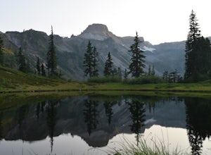
Explore Artist Point
5.0Note that Artist Point is only accessible by car during the summer - it is closed off from cars as of First Snowfall (end of September) through June.The parking lot of Artist Point is only about an hour and fifteen minute drive from the city of Bellingham, WA. The beautiful and peaceful road that...Read more -
Deming, Washington
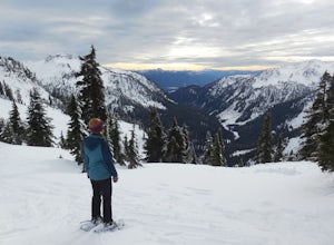
Snowshoe to Artist Point
5.05.5 mi / 1200 ft gainFrom the south end of the ski area, snowshoe past an old ski lodge along an old access road parallel to the ski hill. Then, ascend Austin Pass (2 miles) following the broad switchbacks. Once at the top of the ridge, follow the road to the left 1/4 mile and take in the views of Artist Point, Mou...Read more -
Deming, Washington
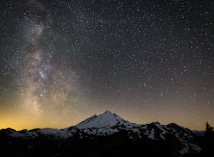
Stargazing at Artist Point
A couple things must coincide for you to have a great time watching the milky way at Artist Point. The road up to Artist is only open during the summer and early Autumn months but it's always good to check on the Washington State Department of Transportation website to see current road conditions...Read more -
Fraser Valley D, British Columbia
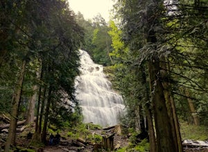
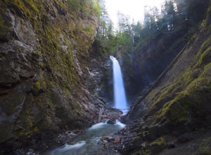
Explore Bridal Veil Falls in Chilliwack
4.00.5 mi / 164 ft gainLocated only a short distance from the Trans-Canada highway is the Bridal Veil Falls Provincial Park. The park is a great area for a picnic lunch, but the highlight of the park is the almost 200 ft. (60 meter) waterfall. The location of the park and the duration of the hike to the waterfall make ...Read more -
Winthrop, Washington
Hike Abernathy Peak
9 mi / 5100 ft gainAbernathy Peak is one of the shortest and easiest peak on the Bulger List, as it's just a walk-up covering around 9 miles and 5100 feet in gain. The trail to starts at the Twisp River Trail, but a few paces after the trailhead, the trail splits and you head left for Scatter Lake. The next 3.5 mi...Read more -
Concrete, Washington
Anderson and Watson Lake
5.68 mi / 1165 ft gainThe drive up to the starting point of the trail to Anderson and Watson Lake was easy, but at the end it gets a little tricky - the service road is sharp gravel and runs for about 10 miles to the trailhead. Some spots are steep and there are large potholes, but slow and steady wins the race. There...Read more -
Concrete, Washington
Rainbow Ridge
4.51 mi / 1552 ft gainThe Trail From the parking area proceed back towards the road and hang a right up an abandoned road bed. The trail follows this road bed for a about 0.2 miles before the real trail becomes evident. The first 0.5 - 1.0 miles of this trail can be difficult. Deadfall, wet, steep, and root covere...Read more -
Concrete, Washington
Winter Hike to Rainbow RIdge
4.5 mi / 1200 ft gainTurn left off of the Grandy-Baker Lake Road onto FS RD 1130 just past the Boulder Creek Campground. Stay right at the first fork in the road. At 3.9 miles go right towards Rainbow Falls. The falls are located at a large bend in the road at approximately 4.5 miles. I have never found a good safe...Read more -
Deming, Washington
Bike to Wells Creek Falls
Wells Creek Falls is an incredible waterfall nestled in a tight canyon below Mt. Baker. The falls plunges 93-ft. over a volcanic cliff face and envelops the small amphitheater below in a cloud of mist. From there, Wells Creeks snakes through the canyon and enters Bar Creek on the opposite side of...Read more -
Concrete, Washington
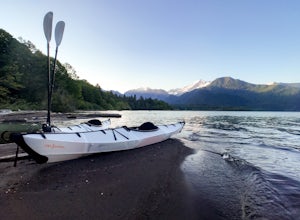
Kayak Baker Lake
5.0Just over 2 hours northeast of Seattle, Baker Lake is an often overlooked gem of the North Cascades. With 8+ miles of turquoise green water to explore, Baker Lake makes for a great day trip or overnight trip, with plenty of backcountry boat-in campsites and sandy beaches along the shore. You can...Read more -
Chilliwack, British Columbia
Hike to Elk Mountain
4.74.3 mi / 2624.7 ft gainElk Mountain is one of the not so hidden-hidden gems in Chilliwack, BC. Clocking in at around 4 hours return it is an easy day hike offering beautiful views of the Fraser Valley and surrounding mountains. Reaching around 1500m in only 3.5 km, this trail is steep, but beautiful forest and mountain...Read more -
Stehekin, Washington
Hike to Agnes Gorge in Stehekin Valley
5 mi / 300 ft gainIf you find yourself in Washington State's remote Stehekin Valley, which is situated at the head of Lake Chelan in the heart of the North Cascades, and is accessible by ferry, float plane, or hiking trail, Agnes Gorge is a must-do day hike from the High Bridge area. By hiking or by Stekekin Valle...Read more -
Deming, Washington
Visit Nooksack Falls
The View. Nooksack Falls is a wonder of a sight, tumbling 88 ft in two segments averaging 50 ft across. A quick stroll from the parking area brings you to the upper or "lower" view, where you can either see the top of the waterfall cascading away from you, or see the whole waterfall. The water...Read more -
Twisp, Washington
Patterson Mountain Loop
3.53 mi / 1112 ft gainThe Patterson Mountain loop is the perfect way for a beginner to intermediate hiker to get acquainted with the arid eastern slope of the North Cascades. This 3.7-mile lollipop with about 1100 feet of elevation gain showcases the open country of the high desert, blanketed with wildflowers in the s...Read more -
Deming, Washington
Summit Church Mountain
8.5 mi / 3750 ft gainStart by driving roughly 2.5 miles up Forest Road 3040, conveniently named E Church Mt Road, to the trailhead. The road is bumpy, but lacking the pot-holes that occupy many of the other forest roads. The only issue comes at 2 miles in where a stream runs over the road and has eroded a small ditch...Read more

