Lions Bay, British Columbia
Top Spots in and near Lions Bay
-
Squamish, British Columbia
3.0
7.4 mi
/ 3130 ft gain
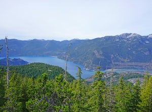
We arrived at the Sea to Sky Gondola in the early morning and rode up to the top in the gondola to where the trailhead was. Once at the top there was a gift shop and a suspension bridge with a wooden viewing platform. The trail goes to the left of the complex down an old logging road. It is well ...
Read more
-
Squamish, British Columbia
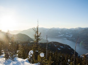
Strap on your snowshoes and head up to the Sea to Sky Gondola in Squamish, about a 45 minute drive from Vancouver. You can either take the gondola up (~$40), or hike up the Sea to Sky Summit trail that begins near the parking lot to the chief to get to the trailhead for Al's Habrich. If doing the...
Read more
-
Squamish, British Columbia
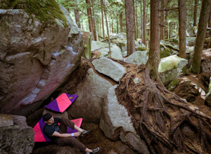
There's so much climbing to be done here -- sport, trad, bouldering! If you're bouldering, it is always shady and cool so bring a light jacket. Most popular season to climb here is in the summer. *If you're visiting from out of town...Need to rent a crash pad or two?There are a few outdoor stores...
Read more
-
Squamish, British Columbia
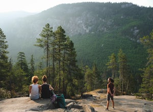
Just a short drive up the Sea to Sky Highway is one of my favorite hikes near Vancouver. There are two options; the hike to first peak, or the hike to second and third peak. First Peak brings you to an epic view over Sqawmish, the Sea to Sky, and the Pacific Ocean. It is a perfect hike for those ...
Read more
-
Squamish, British Columbia
Just a short drive up the Sea to Sky Highway is one of my favorite hikes near Vancouver. There are two options; the hike to first peak or the hike to second and third peak. Second Peak brings you to an epic view over Sqawmish, the first peak of the Chief, the Sea to Sky Highway, and the Pacific O...
Read more
-
Belcarra, British Columbia
From the parking lot at Belcarra Regional Park, follow the Jug Island Trail. It is well marked and well walked so it's near impossible to wander off in the wrong direction! The beach near Jug Island is at the very tip of the peninsula and offers beautiful views of the Indian Arm and surrounding m...
Read more
-
Belcarra, British Columbia
Park your car at the Belcarra Regional Parking Lot and head into the forest. There will be a trail marker beside the playground. Walk about 5 mins along this trail and cross the road. There will be two trails - take the one on the left and follow this trail uphill.
The trail is very well marked a...
Read more
-
Belcarra, British Columbia
From the parking lot at Woodhaven Swamp, head down the wooden steps to the lower path and then follow the path clockwise, passing over a small boardwalk bridge at the east end of the wetland. At the west side of the swamp, look out for a smaller trail that veers off on the left and follow that as...
Read more
-
Anmore, British Columbia
Buntzen Lake is located in a beautiful recreation area just north of Port Moody. Although the lake is man-made and maintained by BC Hydro, the surrounding area is full of forests, nice beach areas, and many trails for hiking including the Buntzen Lake Trail, which loops around the lake.Beginning ...
Read more
-
Anmore, British Columbia
This hike begins near the parking lot of Buntzen Lake. The trailhead will read "Halvor Lunden Trail,” named after the man who made it. This part of the trail is well marked, however as you continue along the loop it gets less and less worn, making things more difficult, but also more natural.The ...
Read more
-
Squamish, British Columbia
This is a big climb. Be warned. The easiest option is to drive past Quest University in Squamish up Mamquam Road to the Half Nelson trail exit (this is the second parking area up the road). From there, you can either ride up the road to the left, or take the legacy climbing trail until you get to...
Read more
-
Squamish, British Columbia
3.7
6.24 mi
/ 3714 ft gain
This adventure is one of the best kept secrets in the Whistler area, let alone, British Columbia. The trailhead for Lake Lovely Water is located on the west side of the Squamish River. There is no road access to the trailhead so you need to cross the river via boat. Make reservations with the jet...
Read more
-
Whistler, British Columbia
4.7
13.7 mi
/ 1968.5 ft gain
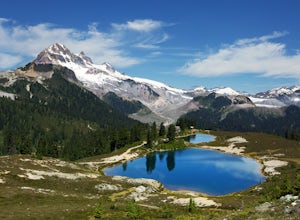
To access the trail head you will have to drive a few kilometres up a pretty beat up service road, so SUV's and 4x4 are a must but it can be done in a regular car if you take it easy. Lots of pot holes and loose rocks.The hike to Elfin Lakes might be 11km each way, but it is not very steep and is...
Read more
-
Whistler, British Columbia
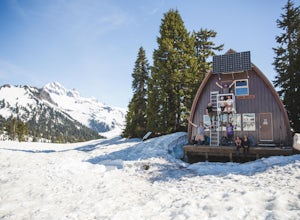
The cabin at Elfin Lakes is a beautiful well maintained shelter in the heart of the Garibaldi Provincial Park. It is nuzzled between two lakes (one for drinking water, and the other a swimming hole), and the Gargoyle Peaks.
The cabin itself is fully stocked with 8 gas burners, tables, a fireplac...
Read more
-
Whistler, British Columbia
Given the total distance and cumulative elevation gain of this hike, I would suggest a good level of fitness to reach the summit. The trail does not have any technical challenges and the elevation gain is gradual. The final kick up to the summit involves some loose scree and minor exposure depend...
Read more
-
Squamish-Lillooet D, British Columbia
5.0
8.9 mi
/ 2772.3 ft gain
The trailhead starts at an old service road and follows it for around 3 km until the trail turns left, off the old service road. Watch for flagging tape as this turn is often missed. Once off the service road, the trail immediately goes down and winds through a meadow with beautiful lakes and ama...
Read more

