Langford, British Columbia
Top Spots in and near Langford
-
Forks, Washington
5.0
35.69 mi
/ 5948 ft gain
Grab a permit on your way in at the Wilderness Information Center (WIC) in Port Angeles or at the Quinault USFS/NFS Recreation Information center before parking at the Hoh Rain Forest Visitor Center and use the wash station and rest room before you head out on the trail.
The first five miles of...
Read more
-
Forks, Washington
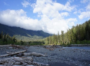
Olympic National Park was established to preserve “the finest example of primeval forest” and so the Hoh Valley remains much like it has for thousands of years. This is the best trail to experience the magic of Hoh Valley, the grandeur of its old growth trees, lush understory and iridescent glaci...
Read more
-
Forks, Washington
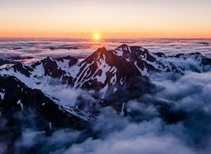
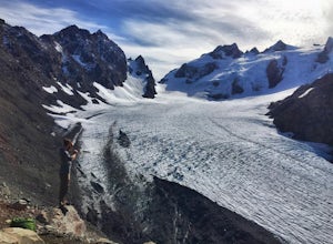
Getting to the summit is no easy task. The approach is long, you must cross a glacier, and once you are to the summit block the easiest way up is on loose 4th class rock, however a short pitch of 5.4 rock is recommended instead.
Getting there
On your way to the trail-head you will need to stop a...
Read more
-
Forks, Washington
5.0
35.68 mi
/ 5948 ft gain
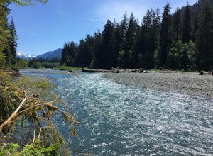
The well trodden and well marked trail begins in the rainforest, and is flat and follows the river for the first few miles. There are many marked camp sites along the way, as well as dispersed camping on the sand bars in the river bed. Follow the trail until the first major intersection, at the O...
Read more
-
Forks, Washington
Olympic National Park plays host to some incredible things, including the Hoh Rainforest. Known for its long hanging moss and crystal clear waters, it's easy to see why this is a popular destination. Spring is the perfect time of the year to visit, the weather is mild and the park is almost empty...
Read more
-
18113 Upper Hoh Road, Washington
4.5
1.04 mi
/ 203 ft gain
Starting at the Hoh Rainforest Visitor Center, take the only trail out into the forest itself. After a few hundred yards there will be a sign pointing you in the direction of the Hall Of Mosses. Follow signs and a very well-maintained trail over crystal clear creeks and fallen trees until you r...
Read more
-
-
Blaine, Washington
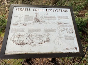
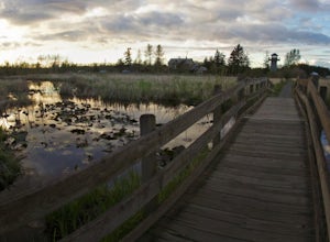
Terrell Marsh Trail is a loop trail that takes you past scenic surroundings located near Blaine, Washington.
Read more
-
Quilcene, Washington
There are four trailheads that guide you to the top of Mount Townsend, but the most popular choice is to begin at the Upper Trailhead Trail #839 (snow permitting).
The trail gradually climbs while traversing through forested area. While walking through the fir and hemlock trees, you pass three ...
Read more
-
Quilcene, Washington
5.0
10.5 mi
/ 3481 ft gain
This trail has a nice, steady climb that's perfect for beginner or intermediate backpackers. The first 2.5 miles follow a forest trail along the Big Quilcene River. For the next 3 miles, the trail flows in and out of shaded trees, over a small talus field, and through a meadow before the final ac...
Read more
-
Quilcene, Washington
The climb to Buckhorn Mountain above Marmot Pass is a must see for every PNW adventurer with the endurance to tackle nearly 14 miles and 4,400 feet of gain. Listen to the rushing waters of the Big Quilcene River as the trail gently traverses up 5.5 miles to Marmot Pass. Be sure to filter water ...
Read more
-
Quilcene, Washington
The secret to this trip: Marmot Pass and Boulder Shelter, where you can camp on National Forest Service land. Multiple excellent, large backpacking sites sit just on the edge of the National Park, giving you great access to Mt. Constance and Mt. Deception, two of the tallest peaks in the Olympics...
Read more
-
Bellingham, Washington
Take Chuckanut Drive to the trailhead which is located directly across from the entrance to Larrabee State Park. A small lot in front of the trail has space for 8-10 cars, or you can park at the State Park and walk across the road (carefully!) to reach the trailhead. Either way you will need a Di...
Read more
-
Bellingham, Washington
On Chuckanut Drive (State Route 11) pull off onto a small, unmarked, one-way road that offers parking for Teddy Bear Cove before quickly rejoining the road. There is space to pull over on the road for approximately 15-20 cars. If you are heading North to South, the road is on your right, if headi...
Read more
-
Ferndale, Washington
Driving up to the park entrance: take a right to drive towards the barnyards, playgrounds, covered picnic areas, historic house and community gardens, and access to the Snoqualmie River. Or, drive straight and park outside of the fragrance gardens and historic house/ museum, and take a walk to a...
Read more
-
Surrey, British Columbia
One of Surrey's hidden gems, head down to this short trail down a set of stairs that will take you to an uninhabited beach.The zig zagged steps take you down to the Birlington Rail Lines and you can walk along a trail to an opening under the tracks. Head to the beach from here where you will like...
Read more

