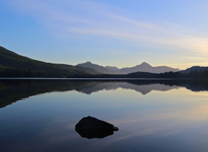
Hornby Island, British Columbia
Looking for the best chillin in Hornby Island? We've got you covered with the top trails, trips, hiking, backpacking, camping and more around Hornby Island. The detailed guides, photos, and reviews are all submitted by the Outbound community.
Top Chillin Spots in and near Hornby Island
-
Nanaimo, British Columbia
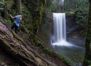
Hike to Ammonite Falls
4.82.69 mi / 558 ft gainThe falls cascades off of a sheet of rock that is filled with Ammonite fossils, thus the name Ammonite Falls! The trailhead is very distinct and has a parking lot close to the start of the trail. From the Nanaimo Parkway (#19) head onto Jingle Pot Road. Follow that for a few kilometres and turn ...Read more -
Nanaimo, British Columbia
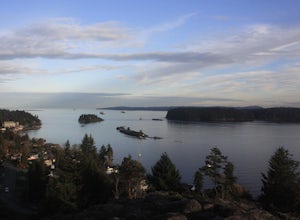
Catch a Sunset at Sugarloaf Mountain
You can easily put Sugarloaf Mountain Park into your GPS when in Nanaimo, but lets, just say you have an old school map. First make your way from the Island Highway onto Departure Bay Rd. Just before you get to Hammond Bay Rd turn onto Little John Way and take your first left, then take your firs...Read more -
Nanaimo, British Columbia
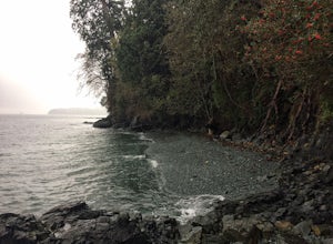
Scramble Down to Nanaimo's Hidden Cove
Firstly, use google maps to take you to Stephenson Rd in Nanaimo. About a mile down, the road forks, follow the left road (It says no exit, but the road just ends at a property so you will need to turn around to get back out). Continue down the road another half mile or so and you will see a smal...Read more -
Comox-Strathcona D, British Columbia
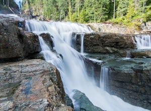
Exploring Myra Falls
5.00.6 miThese beautiful falls are just a short and easy 500 metre stroll from the parking lot, making this one of the more family-friendly hikes in the area. Located at the end of the trail are the 75 metre cascading falls and spectacular views of Buttle Lake.Located approximately 1 1/2 hours north of th...Read more -
Comox-Strathcona D, British Columbia
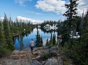
Camp at Arnica Lake
7.5 mi / 2624.7 ft gainThe hike starts at the Westmin mine parking lot, located 2 hours north of Courtenay. To find the start of the trail you need to walk 50 metres down a dirt road from the parking area. You will see a sign for Phillips ridge, which marks the start of your journey.The trail starts in a relatively fl...Read more -
Sechelt, British Columbia
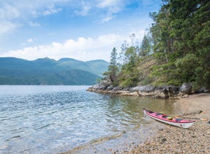
Kayak the Sechelt Inlet
The Sechelt Inlet provides the perfect place for an afternoon adventure or multi-day kayak trip. Kayaks and canoes can be rented from a number of outfitters in the Sechelt area, and many allow multi-day rentals for those keen paddlers.A great place to set off is from Porpoise Bay Provincial Park...Read more -
Alberni-Clayoquot C, British Columbia
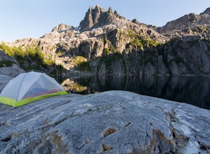
Camp at Lower Lake
4.02.5 mi / 1640.4 ft gainLower Lake is a gorgeous alpine lake located on the Triple Peak Trail. The route to the lake is very steep and scrambling is involved, but is well worth the effort. When you come to the rise above the final ridge, the stunning Triple Peak and Lower Lake come into view.The hike starts down a very ...Read more -
Comox-Strathcona D, British Columbia
Mt. Myra via Tennent Lake Trail
9.33 mi / 4810 ft gainVery few people know about this hidden gem which makes it less crowded and all the more special. The views and serenity that this place possess are what will really draw you in. The hike starts at the Westmin Mine parking lot, located 2 hours north of Courtenay. To find the start of the trailhea...Read more -
Cowichan Valley F, British Columbia
Camp at Nitinat Lake
Nitinat Lake is located about 70 km from Lake Cowichan on Vancouver Island. It's about a 2 h drive from Lake Cowichan with 1 h on logging roads. When you get close to Lake Cowichan, the highway splits into two possible routes, one on the south side of the lake, the second on the north side. Since...Read more

