Hope, British Columbia
Looking for the best chillin in Hope? We've got you covered with the top trails, trips, hiking, backpacking, camping and more around Hope. The detailed guides, photos, and reviews are all submitted by the Outbound community.
Top Chillin Spots in and near Hope
-
Maple Ridge, British Columbia
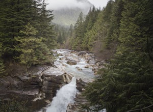
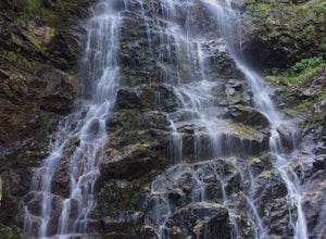
Hiking Upper Gold Creek Falls
4.5Once you arrive in Golden Ears Park, follow the road to the end and look for signs to the Gold Creek Day Area. The road will turn to gravel, and after you cross a small, one-line bridge, you will reach the parking lot.After you have parked, head north past the yellow gate, marked East Canyon Trai...Read more -
Harrison Mills, British Columbia
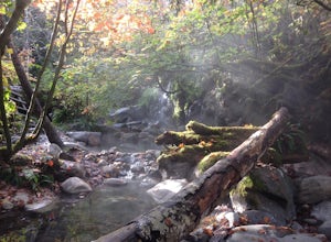
Relaxing at Sloquet Hot Springs
4.3Nestled between Harrison Hot Springs and Pemberton, the Sloquet Hot Springs are a great place to unwind. With multiple natural pools, it is easy to settle in and enjoy a beer, or my winter favourite, Baileys and coffee. If things heat up too fast, take refuge in a lower pool or cool off in the ri...Read more -
Maple Ridge, British Columbia
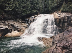
Hike to Lower Falls in Golden Ears Provincial Park
5.03.5 miLower Falls is found within Golden Ears Provincial Park in British Columbia. Easily accessible from the Gold Creek Parking lot, it is a relatively flat trail snaking along Gold Creek itself. It can be done as an out & back trail, or you can make it a loop by using the connector trail located ...Read more -
Maple Ridge, British Columbia
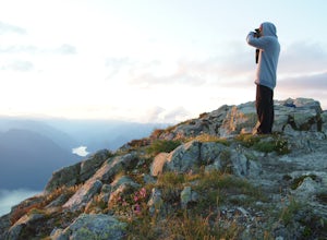
Summit Golden Ears
4.514.9 mi / 5039.4 ft gainDay 1 Starting from the Golden Ears parking lot, your journey begins up a relatively small incline passing two bridges and entering the forest. Continue through the forest passing small cliffs and revealing some views of what you are going to climb the next day. Your estimated time it should take...Read more -
Maple Ridge, British Columbia
Camp in Golden Ears Provincial Park
11.2 mi / 3937 ft gainBackcountry permits are required to camp on Panorama Ridge ($5) and can be paid online.The trailhead is located at the West Canyon Parking lot. The trail starts out on a relatively flat old logging road. The trail slowly gains elevation over three kilometers taking you through thick green forest ...Read more -
Concrete, Washington
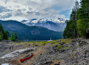
Kayak Baker Lake
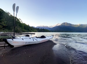
5.0Just over 2 hours northeast of Seattle, Baker Lake is an often overlooked gem of the North Cascades. With 8+ miles of turquoise green water to explore, Baker Lake makes for a great day trip or overnight trip, with plenty of backcountry boat-in campsites and sandy beaches along the shore. You can...Read more -
Maple Ridge, British Columbia
Stroll along the Spirea Nature Trail
3.01.5 mi / 0 ft gainAn hour outside of downtown Vancouver lies the beautiful 150,000 acre Provincial Park of Golden Ears. The park has a myriad of hikes and adventures all with varying degrees of difficulty. The Spirea Nature Trail likely clocks in as one easiest amongst the dozens within the park. However, don’t le...Read more -
Rockport, Washington
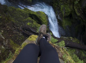
Photograph Ketchum Falls
0.2 mi / 1388 ft gain...After spending my 3 days exploring and capturing the partial lunar eclipse at North Cascades National Park in Washington, I was eager to find another adventure that I haven't done yet or others didn't know much about. As I was driving East leaving Gorge Creek Falls, .9 miles on my left I spott...Read more -
Rockport, Washington
Kayak Ross Lake to Cougar Island and Rainbow Point
5.0Start from the Ross Lake Trailhead off Highway 20. Hike down with your vessel 1.5 miles to the hull road. From there you can launch your vessel. Ross Lake is very large with many destinations to paddle to. I went to Cougar Island and Rainbow Point then paddled up to multiple spectacular wate...Read more -
Rockport, Washington
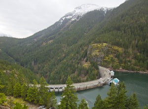
Hike to Ross Dam
5.02 miThis is a short hike at just under 2 miles round-trip, with little elevation change. The trail begins at a parking area, alongside Washington Route 20. The hike takes you through the forest to an overlook of both Ross Dam and Ross Lake, before making the final descent down to the dam. The trail i...Read more -
Marblemount, Washington
Photograph Ladder Creek Falls
While not a hike in of itself, this walk to Ladder Creek Falls is still very enjoyable as you bound over a large suspension bridge, wander past smaller falls and overgrown garden steps, and get an up close and personal look at the oldest operating building in Skagit County, the powerhouse. Drive ...Read more

