Errington, British Columbia
Top Spots in and near Errington
-
Duncan, British Columbia
3.0
6.5 mi
/ 2473.8 ft gain
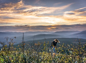
Mt Prevost is a local favourite for hikers, mountain bikers and if you can believe even hang gliders. Most people know it for the large war memorial tower that is perched on the cliff edge, standing guard over the valley below.The big draw of Mt Prevost is easy access to a significant distance an...
Read more
-
Powell River, British Columbia
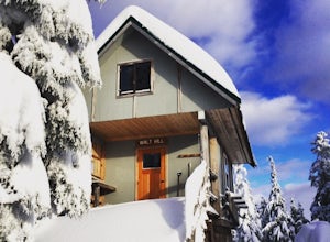
The Sunshine Coast Trail is a 180-kilometre back country experience that encompasses 12 free cabins, 3 of which are winterized. The cabins are run by volunteers from the Powell River Parks and Wilderness Society (PRPAWS).Drive south on Highway 101 to Duck Lake Forest Service Road 3477 Br.1 and he...
Read more
-
Honeymoon Bay, British Columbia
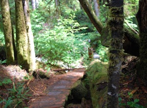
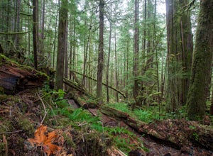
The opportunity to travel deep into a region where ancient forests still stand, telling their story of centuries past, can't be overlooked. One of the last remaining areas of such beauty and rarity still exists deep in the heart of the southern interior on Vancouver Island. This spot is known as ...
Read more
-
Duncan, British Columbia
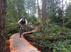
The Maple Mountain trail network has been enjoyed for countless years by hikers, but not until recently did the mountain receive the attention it deserved for mountain biking. Over the last few years the Cowichan Trail Stewardship Society in conjunction with the approval of the local municipality...
Read more
-
Port Renfrew, British Columbia
To get to the Avatar Grove, drive to Port Renfrew along West Coast highway 14. Turn right onto Deering Rd and cross the long bridge over the San Juan River. Stay right at the next Y intersection, and then left at the T intersection. At the next Y keep left and cross a tall bridge over the crys...
Read more
-
Alberni-Clayoquot D, British Columbia
4.0
5.6 mi
/ 3149.6 ft gain
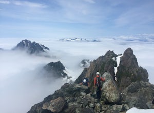
Access to Triple Peak mountain is found via the Marion Creek Main logging road approximately 48km west of Port Alberni on your left hand side along highway #4 headed towards Tofino. The road can present seasonal challenges and is rough so best to have a high clearance and 4x4 capable vehicle if p...
Read more
-
Alberni-Clayoquot A, British Columbia
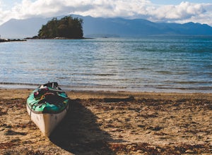
The Broken Group Islands are an internationally acclaimed sea kayaking destination. They can only be done properly on a multi-day trip and it’s not recommended for novice paddlers. The stunning archipelago located on the west coast of Vancouver Island features hundreds of islands, lagoons, caves,...
Read more
-
Bamfield, British Columbia
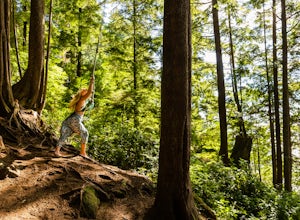
On the island of West Bamfield, accessible only by foot and by taking a ferry from East Bamfield, itself only accessible via a 60 mile brutal dirt road from Port Alberni, is a taste of the free-wheeling, regulations-be-damned old-Vancouver-Island-made-manifest in an epic rope swing that hurls its...
Read more
-
Alberni-Clayoquot C, British Columbia
4.0
2.5 mi
/ 1640.4 ft gain
Lower Lake is a gorgeous alpine lake located on the Triple Peak Trail. The route to the lake is very steep and scrambling is involved, but is well worth the effort. When you come to the rise above the final ridge, the stunning Triple Peak and Lower Lake come into view.The hike starts down a very ...
Read more
-
Comox-Strathcona C, British Columbia
Trail access begins at the end of Forbidden Plateau Road, at the site of the old abandoned ski lodge. It is an ugly place to begin a hike to such a beautiful summit, but do not let that deter you. Past the trash of forest parties, around the remnants of the old ski lodge and over the washed out r...
Read more
-
Bowen Island, British Columbia
Mount Gardner is the highest point on Bowen Island. I love visiting Bowen. It is a 20 minute ferry ride from Horseshoe Bay but feels a world’s away from the city.
I climbed to the top of Mount Gardner a few years ago during the summer, but had yet to do it in the winter. I was excited to see wha...
Read more
-
Alberni-Clayoquot A, British Columbia
Far on the west coast of Vancouver Island, accessed only by a harrowing dirt road, is a wild and rugged coast begging to be explored. Bamfield is about a 3 hour drive from Nanaimo, half of which is on the gnarliest (and most active) logging road I've ever been on - and I grew up driving on loggin...
Read more
-
Port Renfrew, British Columbia
The trail requires a permit from May 1 - September 16. All other dates have restrictions. Check Parks Canada website for more details.You can start from the north or south end of the trail. There are buses provided by the Pacific Rim National Park that will shuttle you back to your car or to the ...
Read more
-
Port Renfrew, British Columbia
In the summer of 2016, myself and three others decided to hike the West Coast Trail (WCT) on a bit of a whim! We naively, and courageously, choose the WCT as our first major backpacking hiking trip - we thought it would be best to throw ourselves into a hike that has earned a reputation for being...
Read more
-
Port Renfrew, British Columbia
I’m blessed with a husband who is crazy enough to agree to my endless adventures! When I suggested we go find the tallest Douglas Fir Tree in the world, and we happened to be in the area, my husband again said, “why not!”For anyone who just has to see it for themselves, here’s some directions:Fo...
Read more
-
Comox-Strathcona C, British Columbia
4.0
3.62 mi
/ 1342 ft gain
The next time you have the opportunity, I recommend you pay Century Sam Lake a visit. This short day hike complete with a spectacular emerald green lake, towering rock cliffs and summer snow caves make this a 'must do' for mid Island adventurers.
This day hike is a well kept secret – and often...
Read more

