Duncan, British Columbia
Looking for the best photography in Duncan? We've got you covered with the top trails, trips, hiking, backpacking, camping and more around Duncan. The detailed guides, photos, and reviews are all submitted by the Outbound community.
Top Photography Spots in and near Duncan
-
Port Angeles, Washington
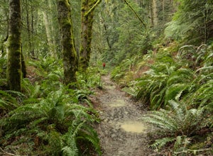
Spruce Railroad Trail
3.011.36 mi / 1138 ft gainThis versatile trail can adapt to your needs. It's can be an out-and-back hike, so you can make it as long as you like. If you do full distance, you are looking at an 8 mile day... OR, if you have two cars, you can park a car at either end of the trail and make it a 4 mile one-way hike. This des...Read more -
West Vancouver, British Columbia
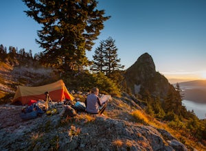
Hiking the Howe Sound Crest Trail
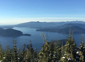
18 mi / 6000 ft gainDistance: 18 miles / 29 kms.Duration: 1 - 3 DaysElevation Gain: 6000 ft. / 1800 m.Magnesia Meadows: 49.483708, -123.190377The Howe Sound Crest Trail (HSCT) is one of the most epic hiking trips one can do in the Vancouver area. The trail is entirely located within the Cypress Mountain Provincial P...Read more -
West Vancouver, British Columbia
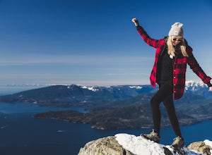
Snowshoe to St. Mark's Summit
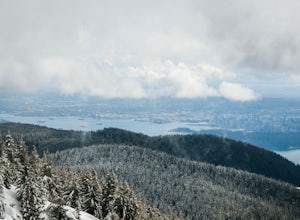
1.08 mi / 1500 ft gainIf you are looking for the perfect snowshoe adventure you've found the right place. St. Marks is located on Cypress Mountain. It is more difficult than the nearby Hollyburn, and sometimes inaccessible due to heavy snow. For those two reasons makes it the most secluded hike just minutes from downt...Read more -
Bowen Island, British Columbia
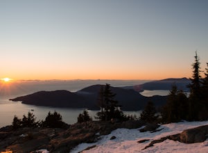
Hike Eagle Bluffs
5.05 mi / 1148.3 ft gainStart at the Cypress Mountain ski area and walk towards the first chairlift. You will see a giant sign showing the ski trails and you go to the right of that. You will then see a post that lists which direction to go for each hike.To start this trail, walk towards the previously mentioned chair ...Read more -
West Vancouver, British Columbia
Bowen Lookout
4.02.48 mi / 443 ft gainThe trailhead is located just off the Cypress Mountain lodge. It winds past old growth forest, and the Yew Lake Meadows. After passing these features the trail turns into a series of switchbacks, gaining the elevation in the last 850m of trail. Before you know it you are rewarded with a beautif...Read more -
Bowen Island, British Columbia
Snowshoe to Black Mountain and Eagle Bluffs
5.6 mi / 1312.3 ft gainEagle Bluffs is a perfect hike for anyone looking to get away but not too far from the city! Your trip will start by grabbing your (free) backcountry pass from the Black Mountain lodge in the lower parking lot at the top of cypress bowl road. This is not the main lodge (Cypress Creek Lodge), but ...Read more -
North Vancouver, British Columbia
Photograph the Cleveland Dam
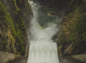
4.0Once you park in the parking lot near the dam, its fairly easy to tell where it is, and how to get there. The awesome spillway looks like one of the worlds most dangerous slides, (don't slide down it), and Capilano Lake and the peaks of the Lions make for a great backdrop in North Vancouver. Ph...Read more -
Parksville, British Columbia
Explore Lasqueti Island
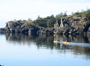
15.5 mi / 754.6 ft gainLasqueti Island is a beautiful island that covers about 75 square kilometres. It is one of the drier islands in the strait, and has some of the warmest waters too. The shores are dotted with arbutus trees, and feral sheep run wild through the woods. The lack of car ferry and direct utilities kee...Read more -
North Vancouver, British Columbia
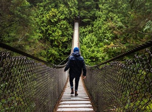
Explore the Lynn Canyon Suspension Bridge
4.4Lynn Canyon Suspension Bridge spans Lynn Canyon and is located near the popular Lynn Headwaters Park. To get there, exit the Trans Canada Highway onto Lynn Valley Road. Shortly after passing through the centre of the Lynn Valley community, turn right onto Peters Rd. This road will turn into "P...Read more -
North Vancouver, British Columbia
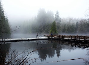
Hike Rice Lake
3.4Walk down Rice Lake Road, cross the bridge, and follow the pathway towards the park ranger buildings. Past the buildings you will find a gravel path going into the trees, which will take you towards a fence beside the trail. Continue on the path towards the lake, while the trees and moss along th...Read more

