Delta, British Columbia
Looking for the best hiking in Delta? We've got you covered with the top trails, trips, hiking, backpacking, camping and more around Delta. The detailed guides, photos, and reviews are all submitted by the Outbound community.
Top Hiking Spots in and near Delta
-
North Vancouver, British Columbia
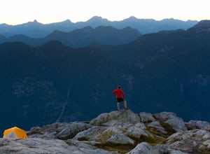
Hike and Camp on Mt. Seymour
From the end of the parking lot next to the BC Parks sign board, walk towards the ski run and follow it uphill to a green sign on the left. The first trail goes to Dog Mountain, another scenic and shorter hike then Mount Seymour. Instead, follow the trail that heads uphill and parallel to the ski...Read more -
North Vancouver, British Columbia
Snowshoe Dog Mountain
2.7 mi / 328.1 ft gainA perfect way to get outside before or after work. Dog mountain is an easily accessible snowshoe trail that takes you up to the short peak from the Mt. Seymour parking lot. This is a perfect spot for sunrise or sunset photography, and you can catch great 360 views from the top. Start at the BC Pa...Read more -
North Vancouver, British Columbia
Hike Dog Mountain, BC
4.23.1 mi / 150 ft gainThe trail begins in the furthest northwest corner of the parking lot, by a big trail map. The start of the trail is gradual and meanders through the forest. The trail then begins to become more technical and requires scrambling over rocks and up areas with roots. Although this hike has minimal ga...Read more -
North Vancouver, British Columbia
Hike to Mystery Lake
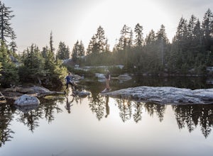
4.03.1 mi / 492.1 ft gainFrom the Mt. Seymour ski area parking lot, head towards the Mystery Peak Express. Once you have passed the base of the Mystery Peak Express, you will continue up the trail to your left (right goes to dog mountain, straight to the 3 peaks of Seymour). Follow the trail all the way up to the lake. T...Read more -
North Vancouver, British Columbia
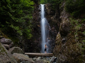
Hike to Norvan Falls
4.38.7 miThe trail starts in Lynn Headwaters Regional Park. This is a fantastic day hike that give you just enough of a challenge but isn't too long. It's about 14km to the norvan waterfalls and back ( 7km each way) and it totally work the walk. There is very minimal gain on this hike. The first bit of th...Read more -
North Vancouver, British Columbia
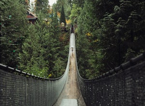
Explore the Capilano Suspension Bridge
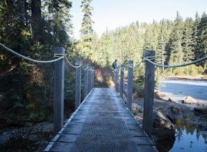
3.8This is a great place to visit to get a feeling for the outdoors of Canada. The bridge is a little scary when a lot of people are walking across, but it is well worth the look.Measuring 140 m (460 ft) long, the bridge crosses over the Capilano River in the District of North Vancouver, British Col...Read more -
North Vancouver, British Columbia
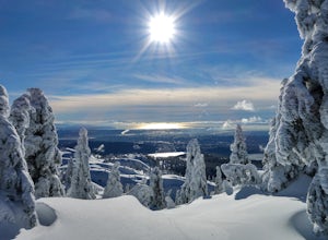
Snowshoe Mt. Seymour to Tim Jones Peak
5.6 mi / 1607.6 ft gainYou'll see traction of all sorts in the Mt. Seymour area during Winter months, including: yak tracks, microspikes, crampons, snowshoes, skis (with and without skins), and my personal favourite, the magic carpet.The Mt. Seymour trail parallels the Seymour downhill ski area. It follows up and over...Read more -
Blaine, Washington
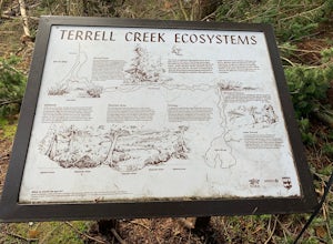
Terrell Marsh Trail
3.00.63 mi / 82 ft gainTerrell Marsh Trail is a loop trail that takes you past scenic surroundings located near Blaine, Washington.Read more -
North Vancouver, British Columbia
Hike Crown Mountain
5.06.1 mi / 1263.1 ft gainYou can take the gondola up Grouse Mountain and then hike from there which roughly takes around 5 hrs at a decent pace. The hike is a hard one that is a lot of up and down and a fair bit of climbing.You can start at the top of the Skyride on Grouse Mountain, follow the paved path to the grizzly b...Read more -
North Vancouver, British Columbia
Hike Goat Mountain
4.05 mi / 984.3 ft gainGoat Mountain is a picturesque hike that starts from the top of the Grouse Mountain Ski Resort. On a sunny, clear day, the top of Goat Mountain can offer views of Vancouver and even as far away as Mount Baker, Vancouver Island, and some of the mountain ranges in Garibaldi Provincial Park near Squ...Read more -
West Vancouver, British Columbia
Hike Up Brothers Creek Loop
4.3 mi / 1312.3 ft gainThe directions to get to this location are a bit scattered as you need to weave through the upper streets of the British Properties. Driving Instructions If you are coming along Highway #1, take the Taylor Way exit and turn right (coming from the east) or left (coming from the west) onto Taylor W...Read more -
Pitt Meadows, British Columbia
Paddle Pitt Lake to Widgeon Falls
5.03.7 miThe 12km (7.5 mi) drive on Neaves Road to Pitt Lake from Pitt Meadows is one of BC's most scenic routes. As soon as you start this section of the drive you already feel miles from the city, but this route is only 30-45 minutes from Vancouver, depending on city traffic.Once you reach the parking l...Read more -
West Vancouver, British Columbia
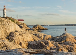
Explore Lighthouse Park
4.5To get to Lighthouse Park, head westbound along Marine Drive in West Vancouver. As Marine Drive continues past little shops and businesses, it will begin to narrow and the road will wind around the coastline. Continue past Caufield Cove Marina and watch for the Lighthouse Park sign on your left. ...Read more -
West Vancouver, British Columbia
Snowshoe Hollyburn Mountain
5.06.5 mi / 450 ft gainPark in the Hollyburn cross country parking lot and start your hike up the under the powerlines. After about 15 mins the trail will flatten out and you will arrive at the warming hut. Take a left and follow the orange markers as it slowly weaves its way through a series of trees and valleys.Event...Read more -
Maple Ridge, British Columbia
Stroll along the Spirea Nature Trail
3.01.5 mi / 0 ft gainAn hour outside of downtown Vancouver lies the beautiful 150,000 acre Provincial Park of Golden Ears. The park has a myriad of hikes and adventures all with varying degrees of difficulty. The Spirea Nature Trail likely clocks in as one easiest amongst the dozens within the park. However, don’t le...Read more -
West Vancouver, British Columbia
Hike to Cypress Falls in West Vancouver
4.03.1 mi / 400 ft gainDrive the the end of Woodgreen Pl in West Vancouver, and you will pass the tennis courts on your right. You will see a little dirt road that heads up into the woods on your left - drive up this road ~30 feet into the parking lot. From the Parking lot, hike up the trail beside cypress creek (this ...Read more

