Comox-Strathcona G, British Columbia
Looking for the best running in Comox-Strathcona G? We've got you covered with the top trails, trips, hiking, backpacking, camping and more around Comox-Strathcona G. The detailed guides, photos, and reviews are all submitted by the Outbound community.
Top Running Spots in and near Comox-Strathcona G
-
Comox-Strathcona D, British Columbia
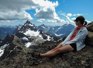
King's Peak Trail
5.09.23 mi / 5512 ft gainOur trip, as pictured, was completed as a single-day trail run / hustle. The climb is typically done, however, as a weekend trip with a camp either in the lower meadow, along the ridge leading to the Queen's Face or in the upper cirque. As for climbs in the Island Alpine, for detailed route desc...Read more -
Comox-Strathcona D, British Columbia
Summit The Golden Hinde
5.040.4 mi / 5987.5 ft gainAs Vancouver Island's highest peak, the Golden Hinde is an obvious draw for coastal climbers. Its gravitational pull, however, requires a commitment, given this crown jewel of the Island Alpine is also one of its most remote, and gains more elevation than from Base Camp to Everest's summit.Winter...Read more -
Comox-Strathcona D, British Columbia
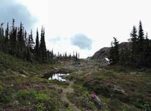
Hike through Marble Meadows to the Wheaton Hut
11.8 mi / 4593.2 ft gainThough the Meadows can be reached by an alternate (very long) route not requiring a boat, the standard access is had by crossing Buttle Lake from the Augerpoint Day Area parking lot on the Buttle Lake Parkway (turn south towards the Westmin mine at the Buttle Lake bridge, just before the provinci...Read more -
Comox-Strathcona D, British Columbia
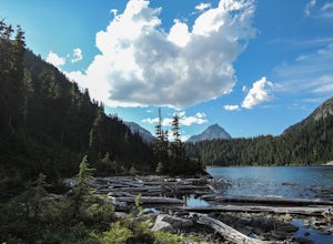
Hike to Cream Lake, BC
12.4 mi / 1312.3 ft gainThe hike to Cream Lake starts at the trailhead for the Bedwell Lake trail, which you can find directions to here.From Bedwell Lake the trail to Cream Lake heads Eastward from the campground (past the outhouse), and begins climbing steadily. Shortly you will reach a waterfall with the trail climb...Read more -
Comox-Strathcona D, British Columbia
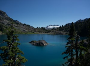
Hike to Baby Bedwell & Bedwell Lake
5.07.5 mi / 2132.5 ft gainDriving: From Campbell River, take Highway 28 West to the bridge over Upper Campbell Lake/Buttle Lake. Do not cross the bridge, but take the road down the East side of Buttle Lake. Follow Buttle Lake road south to Jim Mitchell Lake road which is on the left just after the Thelwood Creek Bridge. ...Read more -
Comox-Strathcona D, British Columbia
Hike to Flower Ridge
20 mi / 5445 ft gainWith a name like Flower Ridge, who wouldn't want to add this hike to their bucket list?The Flower Ridge trailhead is located approximately 26kms down the Buttle Lake Parkway, towards Westmin Mine, in Strathcona Provincial Park. A classic Island alpine approach, you will be more than warmed up af...Read more -
Tofino, British Columbia
Take a Stroll at Mackenzie Beach
5.0Head out to Mackenzie beach in Tofino. The easiest way to access it is through the Makenzie Beach Resort or surrounding campgrounds. It is roughly a mile long beach depending upon the tide. Sometimes live music is played on the beach, usually in the evenings and on the weekend. It is dog friendl...Read more

