British Columbia
Looking for the best chillin in British Columbia? We've got you covered with the top trails, trips, hiking, backpacking, camping and more around British Columbia. The detailed guides, photos, and reviews are all submitted by the Outbound community.
Top Chillin Spots in and near British Columbia
-
Maple Ridge, British Columbia
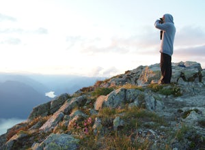
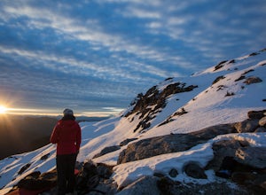
Summit Golden Ears
4.514.9 mi / 5039.4 ft gainDay 1 Starting from the Golden Ears parking lot, your journey begins up a relatively small incline passing two bridges and entering the forest. Continue through the forest passing small cliffs and revealing some views of what you are going to climb the next day. Your estimated time it should take...Read more -
Hope, British Columbia
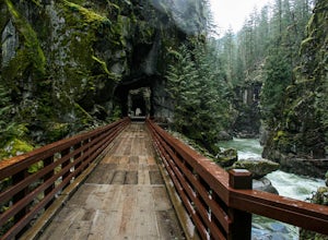
Hike the Kettle Valley Trail through the Othello Tunnels
3.03.4 mi / 300 ft gainThis 5.5km loop family-friendly hike is highly accessible and an easy jaunt into the beautiful Coquihalla Canyon Provincial Park. Just two hours from Vancouver, the loop hike will take you up and down through some lush forest towards the beautiful old railway tunnels which were built in the early...Read more -
Fraser Valley F, British Columbia
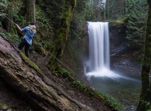
Hike to Cascade Falls, British Columbia
4.80.5 mi / 131.2 ft gainWhen you get to the parking lot go past the access gate and follow the very well maintained trail. The hike to the viewing platform is all uphill, but short. After a couple minutes you will reach wooden stairs that take you to a viewing platform as well as to the suspension bridge where you can c...Read more -
Nanaimo, British Columbia
Hike to Ammonite Falls
4.82.69 mi / 558 ft gainThe falls cascades off of a sheet of rock that is filled with Ammonite fossils, thus the name Ammonite Falls! The trailhead is very distinct and has a parking lot close to the start of the trail. From the Nanaimo Parkway (#19) head onto Jingle Pot Road. Follow that for a few kilometres and turn ...Read more -
Sooke, British Columbia
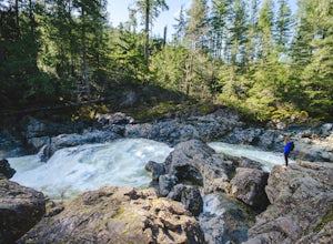
Hike and Swim at Sooke Potholes
4.2The Sooke Potholes seem to have something for everyone. Those seeking quick and easy beach access can enjoy short, well-groomed trails that lead straight to the pebble beaches from each of this spot’s multiple parking lots. There are also a number of paths leading to viewpoints overlooking the ri...Read more -
North Vancouver, British Columbia
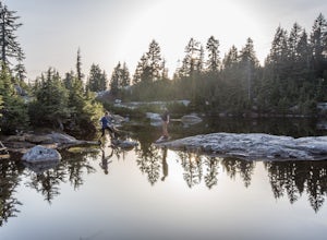
Hike to Mystery Lake
4.03.1 mi / 492.1 ft gainFrom the Mt. Seymour ski area parking lot, head towards the Mystery Peak Express. Once you have passed the base of the Mystery Peak Express, you will continue up the trail to your left (right goes to dog mountain, straight to the 3 peaks of Seymour). Follow the trail all the way up to the lake. T...Read more -
Nanaimo F, British Columbia
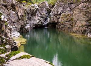
Hike Little Qualicum River and Falls
4.30.6 miLittle Qualicum Falls Provincial Park is just off the #4 highway on your way out to Port Alberni. Simply look for the signs indicating Little Qualicum Falls Provincial Park, and you will turn into the park before Cameron Lake.Easily accessible by everyone, this park can get busy in the summer mon...Read more -
Field, British Columbia
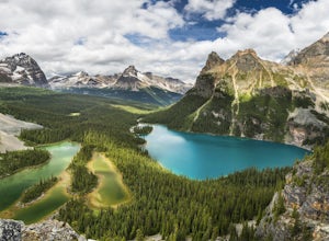
Hike to the Opabin Prospect
5.02.5 mi / 820 ft gainLocated in Yoho National Park, Lake O'Hara is said to be the crown jewel of the Canadian Rockies (rightly so!). Callum Snape has described a bit of the process on what it takes to gain access to Lake O'Hara at this post here. Once you arrive at Lake O'Hara, either at the lodge or at the neighbori...Read more -
D'Arcy, British Columbia
Seton Lake Lookout
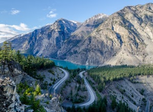
4.80.78 mi / 259 ft gainOn highway 99 (Duffy Lake Road) just outside of Lillooet there is Seton Lake which is so very picturesque in its own way. It's turquoise coloured and surrounding it are cliffs and desert-like mountains. To get to the stunning view point there is a big pull out just before the last switch back on...Read more -
East Kootenay E, British Columbia
Soak at Lussier Hot Springs
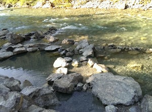
4.8This Hot Spring is found on the Whiteswan Lake Forest Service Road in Whiteswan Lake Provincial Park, and is 35 minutes east of Canal Flats and Highway 93/95. This spot can get a bit busy on the weekends, but is family friendly natural hot spring. Each pool is a different temperature, with the ...Read more -
West Vancouver, British Columbia
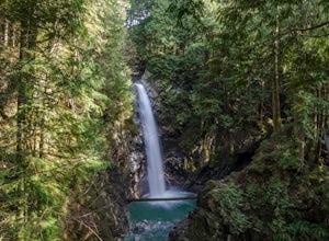
Hike to Cypress Falls in West Vancouver
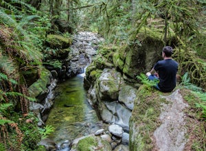
4.03.1 mi / 400 ft gainDrive the the end of Woodgreen Pl in West Vancouver, and you will pass the tennis courts on your right. You will see a little dirt road that heads up into the woods on your left - drive up this road ~30 feet into the parking lot. From the Parking lot, hike up the trail beside cypress creek (this ...Read more -
Victoria, British Columbia
Hike to Jocelyn Hill
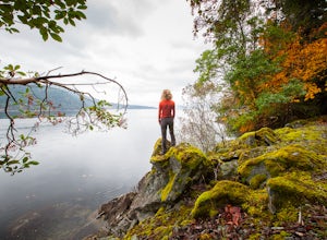
4.05.75 mi / 1499 ft gainGowlland Tod is a beautiful park, running along the Finlayson Arm fjord. Jocelyn hill is in the middle of the park, and can be accessed from the Caleb Pike access at the South end (along the Ridge trail) or from the McKenzie Bight access at the North end (along the Timberman trail). With planning...Read more -
Port Alberni, British Columbia
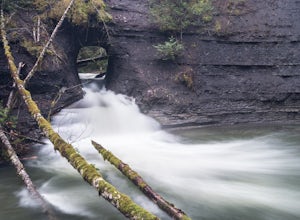
Hike to Hole in the Wall
4.30.6 mi / 0 ft gainThe Hole in The Wall is located just outside the city of Port Alberni, British Columbia. The day hike is easy enough to bring kids on the adventure, is dog friendly and offers a beautiful view of some of Port Alberni's history. Previous to the 1960's, the Hole In The Wall was the opening for a pi...Read more -
Maple Ridge, British Columbia
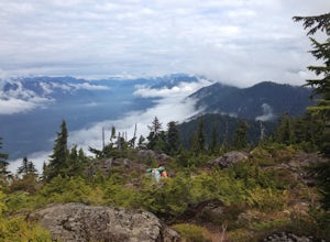
Camp in Golden Ears Provincial Park
11.2 mi / 3937 ft gainBackcountry permits are required to camp on Panorama Ridge ($5) and can be paid online.The trailhead is located at the West Canyon Parking lot. The trail starts out on a relatively flat old logging road. The trail slowly gains elevation over three kilometers taking you through thick green forest ...Read more -
Anmore, British Columbia
Backpack the Dilly Dally Loop
15.5 mi / 3800 ft gainThis hike begins near the parking lot of Buntzen Lake. The trailhead will read "Halvor Lunden Trail,” named after the man who made it. This part of the trail is well marked, however as you continue along the loop it gets less and less worn, making things more difficult, but also more natural.The ...Read more -
Duncan, British Columbia
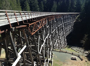
Explore the Kinsol Trestle
4.01.6 miThe Kinsol Trestle is a highlight of the Cowichan Valley Trail, which travels from Shawnigan Lake to Lake Cowichan and then onward to Duncan. The trestle is easily reached via a 1.3km, wheelchair accessible section of the CVT from the trailhead on Renfew Road. Originally built in 1911 for the r...Read more

