British Columbia
Looking for the best chillin in British Columbia? We've got you covered with the top trails, trips, hiking, backpacking, camping and more around British Columbia. The detailed guides, photos, and reviews are all submitted by the Outbound community.
Top Chillin Spots in and near British Columbia
-
Black Creek, British Columbia
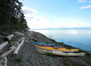
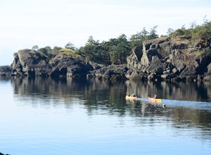
Camp at Seaview Game Farm and Paddle the Strait of Georgia
Seaview Game Farm, located on Vancouver Island between Courtenay and Campbell River is a prime jumping off point to paddle the Strait of Georgia and check out some of the best beaches the coast has to offer. Located right on the beachfront, Seaview offers camping at RV sites but, for the best ex...Read more -
Sooke, British Columbia
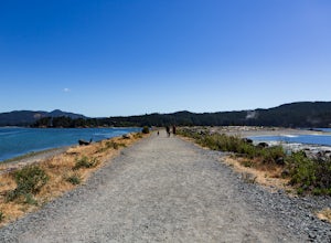
Hike Whiffin Spit
1.5 mi / 0 ft gainLocated in Sooke, between the Sooke Harbour and the Juan de Fuca Strait is Whiffin Spit Park. An easy 2.4km out and back trail with minimal elevation gain that you can walk to the end and back in about an hour. The dog-friendly gravel trail takes you down the spit to the end where you will find a...Read more -
Tofino, British Columbia
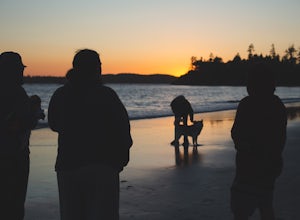
Take a Stroll at Mackenzie Beach
5.0Head out to Mackenzie beach in Tofino. The easiest way to access it is through the Makenzie Beach Resort or surrounding campgrounds. It is roughly a mile long beach depending upon the tide. Sometimes live music is played on the beach, usually in the evenings and on the weekend. It is dog friendl...Read more -
Fanny Bay, British Columbia
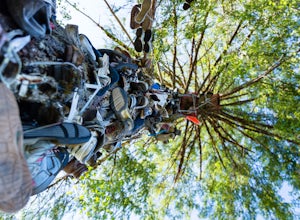
Visit the Great Central Lake Shoe Tree
1.0Does your sole need heeling? If you can muster the feet you may just meet Old Mother Hubbard. To get there take Highway 4 / The Pacific Rim Highway west out of Port Alberni towards Tofino. After the second bridge, take your third right onto Central Lake Road approximately 5.3 miles. The Great Cen...Read more -
Kitimat-Stikine C (Part 1), British Columbia
Explore Gruchy's Beach
1.3 miForm Terrace, drive south for approx., 14 km along Highway 37 to Gruchy’s Beach day use area.The beach is accessed by an easy 1 km trail that follows along Williams Creek through and old growth forest. The trail has a number of boardwalks and nice views of the creek, which can provide sights of S...Read more -
Bowen Island, British Columbia
Paddle the Bowen Island Shoreline
Head out to Horseshoe Bay, and catch the ferry out to Bowen Island (Snug Cove). As you get off the ferry you will see a parking lot immediately to your left. If there is no parking there, there is some further up the road just before the local grocery store. Make your way back to the harbor, and ...Read more -
Bamfield, British Columbia
Swing on the West Bamfield Rope Swing
5.0On the island of West Bamfield, accessible only by foot and by taking a ferry from East Bamfield, itself only accessible via a 60 mile brutal dirt road from Port Alberni, is a taste of the free-wheeling, regulations-be-damned old-Vancouver-Island-made-manifest in an epic rope swing that hurls its...Read more -
Delta, British Columbia
Hiking through Burns Bog Delta Nature Reserve
1.9 miAs you begin your journey into Burns Bog Delta Nature Reserve from the parking lot and small trail coming off of Westview Drive, notice the gravel trail ahead of you and across the train tracks that will take you into the bog itself and take a left. After spending a few minutes on the straight tr...Read more -
Parksville, British Columbia
Explore Lasqueti Island
15.5 mi / 754.6 ft gainLasqueti Island is a beautiful island that covers about 75 square kilometres. It is one of the drier islands in the strait, and has some of the warmest waters too. The shores are dotted with arbutus trees, and feral sheep run wild through the woods. The lack of car ferry and direct utilities kee...Read more -
Cowichan Valley F, British Columbia
Camp at Nitinat Lake
Nitinat Lake is located about 70 km from Lake Cowichan on Vancouver Island. It's about a 2 h drive from Lake Cowichan with 1 h on logging roads. When you get close to Lake Cowichan, the highway splits into two possible routes, one on the south side of the lake, the second on the north side. Since...Read more -
Vancouver, British Columbia
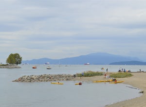
Sunset Beach Park
4.0This is a great place for families to relax at. You can kayak or paddle the calm water. There is a paved path running along the beach that is great for jogging, biking, and dog walking. Benches line the park and beach, making it easy to take breaks when needed. This is also where a lot of ferr...Read more -
Rogers Pass, British Columbia
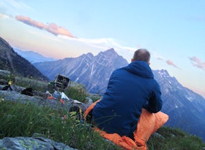
Camp at Hermit Meadows
4 mi / 2559.1 ft gainThe trail head is located between the Rogers Pass Discovery Center and the Tupper. It's a good idea to head into the Discovery Center first and book the campsites as they do require pre-booking to use, and the fines can be steep. Campfires are banned at this campsite as it is a fragile alpine eco...Read more -
Victoria, British Columbia
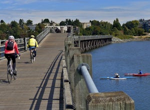
Galloping Goose Trail
36.14 mi / 1831 ft gainThe Galloping Goose Regional Trail connects downtown Victoria, Canada to the former town of Leechtown. Part of the Trans Canada Trail (which traverses the entire country) the Galloping Goose follows the path of the former Canadian National Railway passing through the communities of Sooke, Metchos...Read more -
Columbia-Shuswap, British Columbia
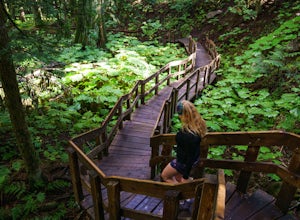
Giant Cedars Boardwalk
0.26 mi / 105 ft gainThe Giant Cedars Boardwalk is a great spot to stop along the Trans Canada Highway #1 and enjoy a short boardwalk trail through giant Cedars, some over 500 years old. The trail has some steps, but several benches along the way making it great for anyone. It's like a stroll through a forest in a...Read more -
Cowichan Bay, British Columbia
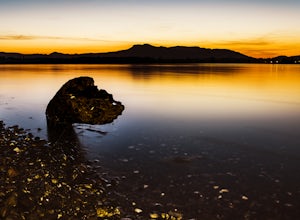
Photograph Cowichan Bay
There is a reason the town of Cowichan Bay is a popular destination for visitors and locals alike. The town boasts stunning views across the bay, of the Cowichan River estuary, the beautiful marina, and has a variety of restaurants, a candy shop and bakery. Start off by grabbing a bite to eat at ...Read more -
Fort Fraser, British Columbia
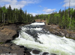
Cheslatta Falls
1.39 mi / 148 ft gainHead out on this 2.2-km loop trail near Bulkley-Nechako E, British Columbia. Generally considered an easy route, it takes an average of 30 min to complete. This is a very popular area for birding, camping, and fishing, so you'll likely encounter other people while exploring. The best times to vis...Read more

