Britannia Beach, British Columbia
Looking for the best chillin in Britannia Beach? We've got you covered with the top trails, trips, hiking, backpacking, camping and more around Britannia Beach. The detailed guides, photos, and reviews are all submitted by the Outbound community.
Top Chillin Spots in and near Britannia Beach
-
Squamish, British Columbia
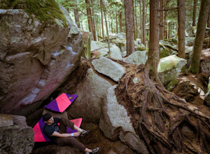
Boulder at the Stawamus Chief
There's so much climbing to be done here -- sport, trad, bouldering! If you're bouldering, it is always shady and cool so bring a light jacket. Most popular season to climb here is in the summer. *If you're visiting from out of town...Need to rent a crash pad or two?There are a few outdoor stores...Read more -
Squamish, British Columbia
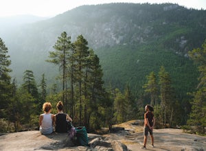
Hike the First Peak of the Stawamus Chief
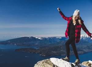
2.5 mi / 1600 ft gainJust a short drive up the Sea to Sky Highway is one of my favorite hikes near Vancouver. There are two options; the hike to first peak, or the hike to second and third peak. First Peak brings you to an epic view over Sqawmish, the Sea to Sky, and the Pacific Ocean. It is a perfect hike for those ...Read more -
Squamish, British Columbia
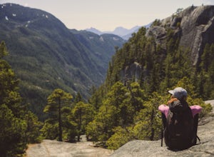
Hike Second and Third Peak of Stawamus Chief
4 mi / 2000 ft gainJust a short drive up the Sea to Sky Highway is one of my favorite hikes near Vancouver. There are two options; the hike to first peak or the hike to second and third peak. Second Peak brings you to an epic view over Sqawmish, the first peak of the Chief, the Sea to Sky Highway, and the Pacific O...Read more -
Squamish, British Columbia
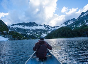
Backpack to Lake Lovely Water
3.76.24 mi / 3714 ft gainThis adventure is one of the best kept secrets in the Whistler area, let alone, British Columbia. The trailhead for Lake Lovely Water is located on the west side of the Squamish River. There is no road access to the trailhead so you need to cross the river via boat. Make reservations with the jet...Read more -
Whistler, British Columbia
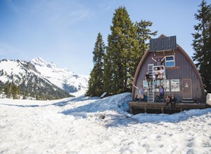
Camp Out at Elfin Lakes Hut
15 mi / 1900 ft gainThe cabin at Elfin Lakes is a beautiful well maintained shelter in the heart of the Garibaldi Provincial Park. It is nuzzled between two lakes (one for drinking water, and the other a swimming hole), and the Gargoyle Peaks. The cabin itself is fully stocked with 8 gas burners, tables, a fireplac...Read more -
Squamish, British Columbia
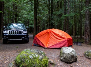
Camp at Alice Lake Provincial Park
5.0Alice Lake Provincial Park is located just North of Squamish. To get here, exit right off Highway 99 when coming from the South onto Alice Lake Rd. The campground is located under 5 minutes up the road and is first come first serve during low season. From late Spring to Early fall, make sure y...Read more -
Squamish, British Columbia
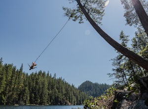
Swim & Relax at Brohm Lake
5.0This lake is popular with the locals for a reason - it's right off the highway and has lots to offer. There are a few 40+ foot cliffs on the east side, and some smaller ones if you're not feeling that adventurous, as well as a rope swing on the west side of the lake. It only takes about 15 minute...Read more -
Bowen Island, British Columbia
Snowshoe to Black Mountain and Eagle Bluffs
5.6 mi / 1312.3 ft gainEagle Bluffs is a perfect hike for anyone looking to get away but not too far from the city! Your trip will start by grabbing your (free) backcountry pass from the Black Mountain lodge in the lower parking lot at the top of cypress bowl road. This is not the main lodge (Cypress Creek Lodge), but ...Read more -
West Vancouver, British Columbia
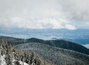
Snowshoe to St. Mark's Summit
1.08 mi / 1500 ft gainIf you are looking for the perfect snowshoe adventure you've found the right place. St. Marks is located on Cypress Mountain. It is more difficult than the nearby Hollyburn, and sometimes inaccessible due to heavy snow. For those two reasons makes it the most secluded hike just minutes from downt...Read more -
Bowen Island, British Columbia
Relax at Nectar's Yoga Dome
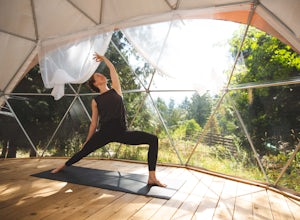
5.0Head over to Bowen Island, via a ferry from the Horseshoe Bay Departure Terminal. A short drive up Miller Road will lead you to Nectar Yoga BnB. They offer two classes a day, one in the morning and one in the evening. The times vary, but are usually around 9:00 AM and 4:30 PM. They are for all sk...Read more -
West Vancouver, British Columbia
Explore WhyteCliff Park, West Vancouver
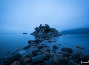
4.4Escape to the vanishing horizon of the Pacific Ocean, where time is measured by the rhythm of waves.Located near West Vancouver's Horseshoe Bay neighbourhood, Whytecliff Park is home to more than 200 marine animal species and is one of the first Marine Protected Areas in Canada. You're almost gua...Read more -
Bowen Island, British Columbia
Paddle the Bowen Island Shoreline
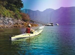
Head out to Horseshoe Bay, and catch the ferry out to Bowen Island (Snug Cove). As you get off the ferry you will see a parking lot immediately to your left. If there is no parking there, there is some further up the road just before the local grocery store. Make your way back to the harbor, and ...Read more -
West Vancouver, British Columbia
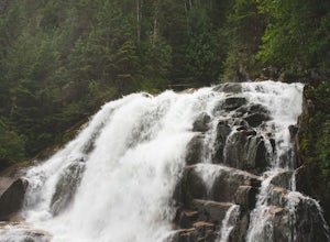
Hike to Cypress Falls in West Vancouver
4.03.1 mi / 400 ft gainDrive the the end of Woodgreen Pl in West Vancouver, and you will pass the tennis courts on your right. You will see a little dirt road that heads up into the woods on your left - drive up this road ~30 feet into the parking lot. From the Parking lot, hike up the trail beside cypress creek (this ...Read more -
Squamish-Lillooet D, British Columbia
Hike to Crooked Falls
4.04 mi / 1400 ft gainThe trail to Crooked Falls starts at the Sigurd Creek Trail. The coordinates are: N49.910556, W-123.322817. It is a scenic dive just past the Squamish city center and the Squamish River. Once at the trail head you'll walk across a bridge over Sigurd Creek and follow the logging road for a couple...Read more -
North Vancouver, British Columbia
Bike the Seymour Valley Trailway & Old Growth Trail
12.4 mi / 328.1 ft gainHead over to the Lower Seymour Conservation Reserve and hop on your two-wheeler to enjoy this stunning 20k ride. Your ride will begin at the trailhead, where hikers walk off to rice lake. Stay off to the right, where there is an obvious bike path (2 paved lanes). This trail will take you ~11kms ...Read more -
North Vancouver, British Columbia
Hike to Mystery Lake
4.03.1 mi / 492.1 ft gainFrom the Mt. Seymour ski area parking lot, head towards the Mystery Peak Express. Once you have passed the base of the Mystery Peak Express, you will continue up the trail to your left (right goes to dog mountain, straight to the 3 peaks of Seymour). Follow the trail all the way up to the lake. T...Read more

