Alberni-Clayoquot F, British Columbia
Top Spots in and near Alberni-Clayoquot F
-
Courtenay, British Columbia
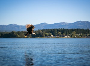
Mixing of sea and river waters at the Courtenay River Estuary means its an abundant place for wildlife. Coupled with incredible views of the Comox Glacier to the west, it's no wonder this is a popular spot to paddle in the small island town of Courtenay.
Head over to Comox Valley Kayaks and Cano...
Read more
-
Nanaimo, British Columbia
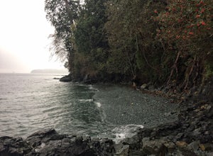
Firstly, use google maps to take you to Stephenson Rd in Nanaimo. About a mile down, the road forks, follow the left road (It says no exit, but the road just ends at a property so you will need to turn around to get back out). Continue down the road another half mile or so and you will see a smal...
Read more
-
Comox-Strathcona C, British Columbia
4.0
3.62 mi
/ 1342 ft gain
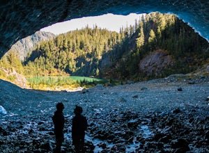
The next time you have the opportunity, I recommend you pay Century Sam Lake a visit. This short day hike complete with a spectacular emerald green lake, towering rock cliffs and summer snow caves make this a 'must do' for mid Island adventurers.
This day hike is a well kept secret – and often...
Read more
-
Comox-Strathcona C, British Columbia
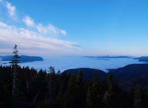
Trail access begins at the end of Forbidden Plateau Road, at the site of the old abandoned ski lodge. It is an ugly place to begin a hike to such a beautiful summit, but do not let that deter you. Past the trash of forest parties, around the remnants of the old ski lodge and over the washed out r...
Read more
-
Honeymoon Bay, British Columbia
The opportunity to travel deep into a region where ancient forests still stand, telling their story of centuries past, can't be overlooked. One of the last remaining areas of such beauty and rarity still exists deep in the heart of the southern interior on Vancouver Island. This spot is known as ...
Read more
-
Ucluelet, British Columbia
Drive south west on Coast Guard drive to the parking lot for the wild coast trail to your left (where the pin is). Park in the parking lot, and head to the trailhead where the big sign board is. We completed the lower loop in approximately one hour, but you can continue up the coast all the way i...
Read more
-
Ucluelet, British Columbia
The Willowbrae trailhead is not marked along the Tofino Ucluelet highway and the turnoff is easy to miss. Driving from Tofino look for Willowbrae Road on the right hand side, 2 kilometers past the Port Alberni junction. From Ucluelet this road is on the left, 5 kilometers from town. Drive up...
Read more
-
Port Renfrew, British Columbia
To get to the Avatar Grove, drive to Port Renfrew along West Coast highway 14. Turn right onto Deering Rd and cross the long bridge over the San Juan River. Stay right at the next Y intersection, and then left at the T intersection. At the next Y keep left and cross a tall bridge over the crys...
Read more
-
Ucluelet, British Columbia
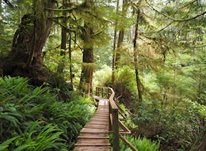
For an amazing jungle experience in Clayoquot Sound, the fantastic Rainforest Trails is the place to go. Located in the Pacific Rim National Park, the forest is deep, wet and massive. The wonderful aroma of nature fills your lungs as an incredibly elaborate boardwalk leads you along massive nurs...
Read more
-
Ucluelet, British Columbia
The staggering coastal and rain forest beauty of the Pacific Rim National Park Reserve ensures Vancouver Island’s place as one of BC's most deeply rewarding hiking destinations. The Nuu-chah-nulth Trail is just one of many trails that will leave you with a billowing sense of wonder.Starting at th...
Read more
-
Comox-Strathcona D, British Columbia
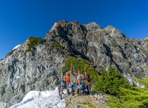
Mt Septimus lies deep within the beautiful and untouched Strathcona Park on Vancouver Island. The route takes you high into the alpine where you will cross glacial fed lakes amongst large peaks and thick forest. To climb Mt Septimus the route you will be taking is the X-Gully route, a steep snow ...
Read more
-
Comox-Strathcona D, British Columbia
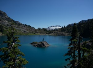
The hike to Cream Lake starts at the trailhead for the Bedwell Lake trail, which you can find directions to here.From Bedwell Lake the trail to Cream Lake heads Eastward from the campground (past the outhouse), and begins climbing steadily. Shortly you will reach a waterfall with the trail climb...
Read more
-
Comox-Strathcona D, British Columbia
5.0
7.5 mi
/ 2132.5 ft gain
Driving: From Campbell River, take Highway 28 West to the bridge over Upper Campbell Lake/Buttle Lake. Do not cross the bridge, but take the road down the East side of Buttle Lake. Follow Buttle Lake road south to Jim Mitchell Lake road which is on the left just after the Thelwood Creek Bridge. ...
Read more
-
Port Renfrew, British Columbia
The trail requires a permit from May 1 - September 16. All other dates have restrictions. Check Parks Canada website for more details.You can start from the north or south end of the trail. There are buses provided by the Pacific Rim National Park that will shuttle you back to your car or to the ...
Read more
-
Port Renfrew, British Columbia
In the summer of 2016, myself and three others decided to hike the West Coast Trail (WCT) on a bit of a whim! We naively, and courageously, choose the WCT as our first major backpacking hiking trip - we thought it would be best to throw ourselves into a hike that has earned a reputation for being...
Read more
-
Powell River, British Columbia
The Sunshine Coast Trail is a 180-kilometre back country experience that encompasses 12 free cabins, 3 of which are winterized. The cabins are run by volunteers from the Powell River Parks and Wilderness Society (PRPAWS).Drive south on Highway 101 to Duck Lake Forest Service Road 3477 Br.1 and he...
Read more

