Alberni-Clayoquot D, British Columbia
Looking for the best hiking in Alberni-Clayoquot D? We've got you covered with the top trails, trips, hiking, backpacking, camping and more around Alberni-Clayoquot D. The detailed guides, photos, and reviews are all submitted by the Outbound community.
Top Hiking Spots in and near Alberni-Clayoquot D
-
Tofino, British Columbia
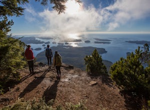
Hike Lone Cone
4.1 mi / 2400 ft gainThe trailhead for Lone Cone is located on Meares Island, accessible by water taxi ($40 return). Some choose to rent kayaks and paddle to the trailhead. The dock for the water taxi is located at the end of Main St.49°09’12.8”N 125°54’40.5”WThe water taxi is roughly 15 minutes and travels across th...Read more -
Tofino, British Columbia
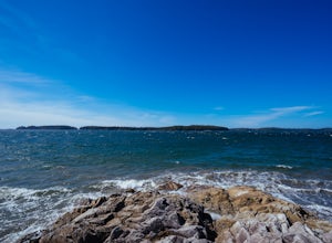
Hike to Tonquin Beach
5.00.25 miPark at the trailhead, and follow the wooded trail for a short ways. You'll wind through the temperate rainforest, and across wooden walkways before reaching the beach itself. Scramble around on the rocks, or just chill out on the sand and enjoy!Read more -
Youbou, British Columbia
Hike Green Mountain, BC
3.03.1 mi / 985 ft gainGreen Mountain is located out in the Nanaimo Lakes area and used to be a ski hill back in the 60's. There was a lodge and even a t-bar to get you up the hill (both of which are nothing more than dilapidated remains now). The mountain's ski-based past becomes apparent as you hike up through countl...Read more -
Youbou, British Columbia
Hike Heather Mountain
20.5 mi / 3822.2 ft gainHeather Mountain is a moderate well marked out and back hike through managed forest land. The hike brings a wonderful feeling of solitude as there are no towns or buildings visible even with distant views in all directions. It is also quite lightly tracked: we saw no other hikers on the entire r...Read more -
Nanoose Bay, British Columbia
Hike to Bonnell Creek Falls
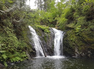
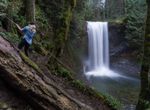
5.01.9 miThis trail isn't much to look at but it's all about the destination here as you will stumble upon scenic waterfalls nestled in the quiet Nanoose Bay area. Turn off the highway next onto Sea Blush Drive next to the Arlington Pub in Nanoose BC. Take your first right onto Sundew Place. Start your wa...Read more -
Alberni-Clayoquot C, British Columbia
Hike to the Ahousat (Flores Island) Warm Springs
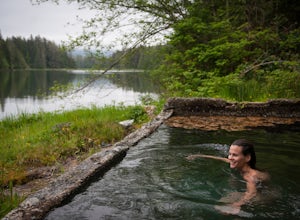
7.5 miA 1-hour boat ride north of Tofino, on the west coast of Vancouver Island, is one of the Clayoquot Sound region’s biggest attractions: Hot Springs Cove in Maquinna Marine Provincial Park. Drawn by the prospect of soaking in 50 C / 122 F natural hot mineral springs surrounded by coastal rainforest...Read more -
Nanaimo, British Columbia
Hike to Ammonite Falls
4.82.69 mi / 558 ft gainThe falls cascades off of a sheet of rock that is filled with Ammonite fossils, thus the name Ammonite Falls! The trailhead is very distinct and has a parking lot close to the start of the trail. From the Nanaimo Parkway (#19) head onto Jingle Pot Road. Follow that for a few kilometres and turn ...Read more -
Comox-Strathcona D, British Columbia
Hike to Lady Falls
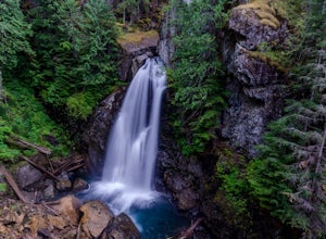
5.01.2 mi / 131.2 ft gainThis waterfall is a pretty stellar sight. Located in one part of Strathcona Provincial Park, it plunges about 90 feet from a small slot canyon into a wide deep canyon. From the view point you can feel the mist from the waterfall on your face. For a different perspective, there is a small trail ju...Read more -
Powell River, British Columbia
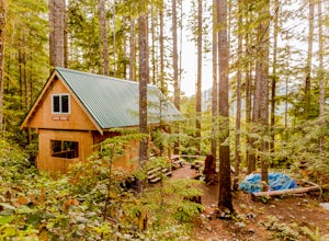
Backcountry Hike and Hut Camp the Northern Portion of the Sunshine Coast Trail
31.1 mi / 3937 ft gainThis adventure is a 50km backcountry hiking and camping trip and should not be attempted without prior backcountry experience. It is recommended you attempt this trail in a group. Below is a detailed description of how to get to the trail and your options for huts while on the trail:The Sunshin...Read more -
Comox-Strathcona D, British Columbia
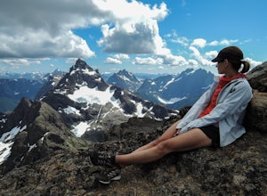
King's Peak Trail
5.09.23 mi / 5512 ft gainOur trip, as pictured, was completed as a single-day trail run / hustle. The climb is typically done, however, as a weekend trip with a camp either in the lower meadow, along the ridge leading to the Queen's Face or in the upper cirque. As for climbs in the Island Alpine, for detailed route desc...Read more

