Alberni-Clayoquot C, British Columbia
Top Spots in and near Alberni-Clayoquot C
-
Fanny Bay, British Columbia
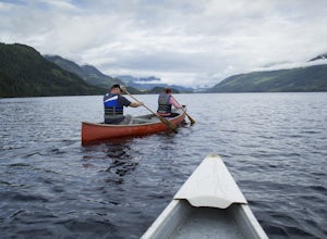
To get the the Della Falls trail head in Strathcona Park, you must cross Great Central Lake. This is a 45 km journey via either canoe, kayak, or speedboat. We chose to canoe, and it took approximately 9 steady hours. We parked our vehicles just on the edge of Central Lake Road across from Great C...
Read more
-
Comox-Strathcona C, British Columbia
4.0
3.62 mi
/ 1342 ft gain
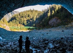
The next time you have the opportunity, I recommend you pay Century Sam Lake a visit. This short day hike complete with a spectacular emerald green lake, towering rock cliffs and summer snow caves make this a 'must do' for mid Island adventurers.
This day hike is a well kept secret – and often...
Read more
-
Fanny Bay, British Columbia
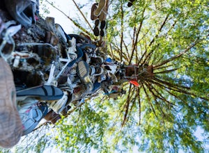
Does your sole need heeling? If you can muster the feet you may just meet Old Mother Hubbard.
To get there take Highway 4 / The Pacific Rim Highway west out of Port Alberni towards Tofino. After the second bridge, take your third right onto Central Lake Road approximately 5.3 miles. The Great Cen...
Read more
-
Port Alberni, British Columbia
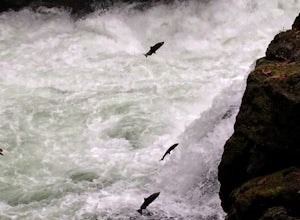
There are many places to see the Salmon making their yearly return to spawning sites. This year while living on Vancouver Island I could not pass on the chance to marvel at this amazing sight. I decided to head to Stamp River to catch the run and was not disappointed, in fact it was so amazing I ...
Read more
-
Comox-Strathcona D, British Columbia
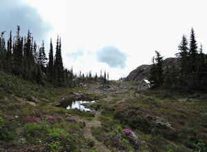
Though the Meadows can be reached by an alternate (very long) route not requiring a boat, the standard access is had by crossing Buttle Lake from the Augerpoint Day Area parking lot on the Buttle Lake Parkway (turn south towards the Westmin mine at the Buttle Lake bridge, just before the provinci...
Read more
-
Alberni-Clayoquot F, British Columbia
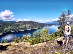
I have lived on Vancouver Island my entire life yet I had never heard about this world class trail until last summer. A 24km point to point coastal trail that travels the length of the Alberni Inlet from the coast right to the town? Through paradise meadows, along sun drenched bluffs, past water...
Read more
-
Port Alberni, British Columbia
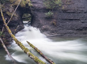
The Hole in The Wall is located just outside the city of Port Alberni, British Columbia. The day hike is easy enough to bring kids on the adventure, is dog friendly and offers a beautiful view of some of Port Alberni's history. Previous to the 1960's, the Hole In The Wall was the opening for a pi...
Read more
-
Comox-Strathcona C, British Columbia
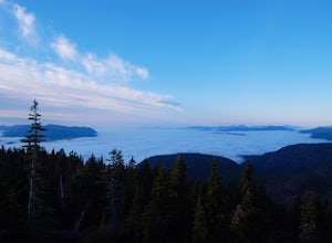
Trail access begins at the end of Forbidden Plateau Road, at the site of the old abandoned ski lodge. It is an ugly place to begin a hike to such a beautiful summit, but do not let that deter you. Past the trash of forest parties, around the remnants of the old ski lodge and over the washed out r...
Read more

