Alberni-Clayoquot C, British Columbia
Top Spots in and near Alberni-Clayoquot C
-
Alberni-Clayoquot C, British Columbia
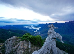
The mountains of the South Central Range of Vancouver Island that skirt Highway 4 leading to Tofino are often overlooked as in that region surfing is the big draw, while the larger peaks of Strathcona Peak call to others. I feel this spot is a true gem of the island, with unparalleled biodiversit...
Read more
-
Alberni-Clayoquot C, British Columbia
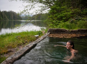
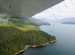
A 1-hour boat ride north of Tofino, on the west coast of Vancouver Island, is one of the Clayoquot Sound region’s biggest attractions: Hot Springs Cove in Maquinna Marine Provincial Park. Drawn by the prospect of soaking in 50 C / 122 F natural hot mineral springs surrounded by coastal rainforest...
Read more
-
Alberni-Clayoquot C, British Columbia
4.0
2.5 mi
/ 1640.4 ft gain
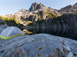
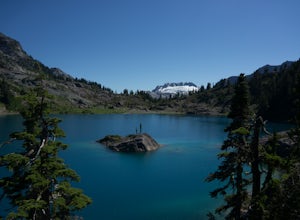
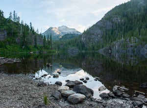
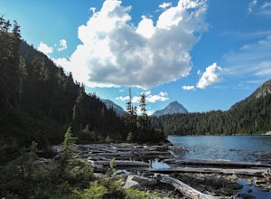
Lower Lake is a gorgeous alpine lake located on the Triple Peak Trail. The route to the lake is very steep and scrambling is involved, but is well worth the effort. When you come to the rise above the final ridge, the stunning Triple Peak and Lower Lake come into view.The hike starts down a very ...
Read more
-
Alberni-Clayoquot D, British Columbia
4.0
5.6 mi
/ 3149.6 ft gain
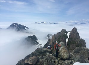
Access to Triple Peak mountain is found via the Marion Creek Main logging road approximately 48km west of Port Alberni on your left hand side along highway #4 headed towards Tofino. The road can present seasonal challenges and is rough so best to have a high clearance and 4x4 capable vehicle if p...
Read more
-
Alberni-Clayoquot C, British Columbia
Hot Springs Cove is a splendid hot spring located in Maquinna Provincial Park on Vancouver Island, in the remote northern end of Clayoquot Sound. The undeveloped natural hot mineral spring pools are still enjoyable in their natural state, reached via a pleasant two-kilometer boardwalk through old...
Read more
-
Comox-Strathcona D, British Columbia
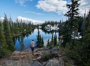
The hike to Cream Lake starts at the trailhead for the Bedwell Lake trail, which you can find directions to here.From Bedwell Lake the trail to Cream Lake heads Eastward from the campground (past the outhouse), and begins climbing steadily. Shortly you will reach a waterfall with the trail climb...
Read more
-
Comox-Strathcona D, British Columbia
5.0
7.5 mi
/ 2132.5 ft gain
Driving: From Campbell River, take Highway 28 West to the bridge over Upper Campbell Lake/Buttle Lake. Do not cross the bridge, but take the road down the East side of Buttle Lake. Follow Buttle Lake road south to Jim Mitchell Lake road which is on the left just after the Thelwood Creek Bridge. ...
Read more
-
Comox-Strathcona D, British Columbia
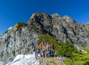
Mt Septimus lies deep within the beautiful and untouched Strathcona Park on Vancouver Island. The route takes you high into the alpine where you will cross glacial fed lakes amongst large peaks and thick forest. To climb Mt Septimus the route you will be taking is the X-Gully route, a steep snow ...
Read more
-
Bamfield, British Columbia
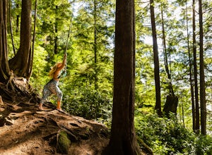
On the island of West Bamfield, accessible only by foot and by taking a ferry from East Bamfield, itself only accessible via a 60 mile brutal dirt road from Port Alberni, is a taste of the free-wheeling, regulations-be-damned old-Vancouver-Island-made-manifest in an epic rope swing that hurls its...
Read more
-
Alberni-Clayoquot A, British Columbia
Far on the west coast of Vancouver Island, accessed only by a harrowing dirt road, is a wild and rugged coast begging to be explored. Bamfield is about a 3 hour drive from Nanaimo, half of which is on the gnarliest (and most active) logging road I've ever been on - and I grew up driving on loggin...
Read more
-
Alberni-Clayoquot A, British Columbia
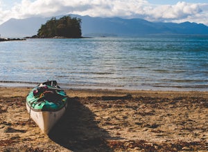
The Broken Group Islands are an internationally acclaimed sea kayaking destination. They can only be done properly on a multi-day trip and it’s not recommended for novice paddlers. The stunning archipelago located on the west coast of Vancouver Island features hundreds of islands, lagoons, caves,...
Read more
-
Comox-Strathcona D, British Columbia
Very few people know about this hidden gem which makes it less crowded and all the more special. The views and serenity that this place possess are what will really draw you in.
The hike starts at the Westmin Mine parking lot, located 2 hours north of Courtenay. To find the start of the trailhea...
Read more
-
Comox-Strathcona D, British Columbia
5.0
40.4 mi
/ 5987.5 ft gain
As Vancouver Island's highest peak, the Golden Hinde is an obvious draw for coastal climbers. Its gravitational pull, however, requires a commitment, given this crown jewel of the Island Alpine is also one of its most remote, and gains more elevation than from Base Camp to Everest's summit.Winter...
Read more
-
Comox-Strathcona D, British Columbia
The hike starts at the Westmin mine parking lot, located 2 hours north of Courtenay. To find the start of the trail you need to walk 50 metres down a dirt road from the parking area. You will see a sign for Phillips ridge, which marks the start of your journey.The trail starts in a relatively fl...
Read more
-
Comox-Strathcona D, British Columbia
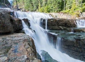
These beautiful falls are just a short and easy 500 metre stroll from the parking lot, making this one of the more family-friendly hikes in the area. Located at the end of the trail are the 75 metre cascading falls and spectacular views of Buttle Lake.Located approximately 1 1/2 hours north of th...
Read more
-
Comox-Strathcona D, British Columbia
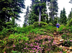
With a name like Flower Ridge, who wouldn't want to add this hike to their bucket list?The Flower Ridge trailhead is located approximately 26kms down the Buttle Lake Parkway, towards Westmin Mine, in Strathcona Provincial Park. A classic Island alpine approach, you will be more than warmed up af...
Read more

