Sawback, Alberta
Looking for the best photography in Sawback? We've got you covered with the top trails, trips, hiking, backpacking, camping and more around Sawback. The detailed guides, photos, and reviews are all submitted by the Outbound community.
Top Photography Spots in and near Sawback
-
Kananaskis, Alberta
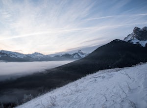
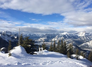
Winter Climb Mount Allan
5.08.7 mi / 4429.1 ft gainMount Allan is a 14 km hike that gains 1400 metres of elevation and was one of my favourite hikes when I first moved to Calgary. On a recent snowshoe, a couple I crossed paths with mentioned they had just done Mount Allan in December, so I knew I had to put it on my winter list!The trail begins a...Read more -
Turner Valley, Alberta
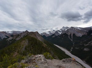
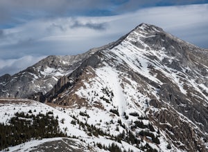
Hike to the Top of the Wasootch Ridge
4.08.7 mi / 3280 ft gainThe start to this hike is located about 45 minutes west of Calgary and about the same East of Banff. Off the Trans Canada Highway take the highway 40 exit into Kananaskis and continue until you reach the Wasootch Creek area. There is ample parking, however during spring and summer months it can b...Read more -
Turner Valley, Alberta
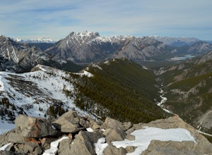
Scramble up to Wasootch Peak
Wasootch Peak is for people who's inner scrambler is screaming to push on when they're on Wasootch Ridge. This description will be focusing on the trail to the summit from the main cairn on Wasootch Ridge. For an excellent description on how to get to that cairn, check out Hike to the Top of Waso...Read more -
Field, British Columbia
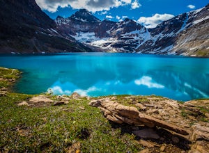
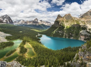
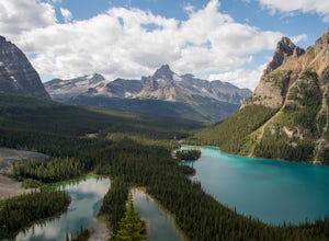
Explore Lake O'Hara
4.8Hidden deep in the Canadian Rockies is Lake O'Hara, a diamond among the rough peaks. Ten minutes drive east of a small town called Field in British Columbia, or sixty minutes west of Banff, Alberta; is a small parking lot where the adventure begins. A $25 return, 30 minute bus ride from there tak...Read more -
Field, British Columbia
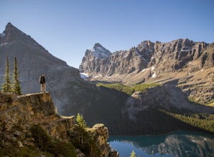
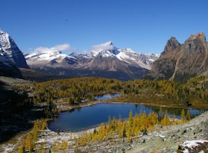
Hike to the Opabin Prospect
5.02.5 mi / 820 ft gainLocated in Yoho National Park, Lake O'Hara is said to be the crown jewel of the Canadian Rockies (rightly so!). Callum Snape has described a bit of the process on what it takes to gain access to Lake O'Hara at this post here. Once you arrive at Lake O'Hara, either at the lodge or at the neighbori...Read more -
Field, British Columbia
Backpack to Alberta's Abbot Pass Hut
3.016.2 mi / 1500 ft gainBuilt in 1922 with the stones from the pass, the Abbot Pass Hut and has served both as a base for mountaineers and as a destination for strong hikers ever since. Sitting at 2,926 meters' elevation, it is second only to the Neil Colgan Hut on the list of highest permanent structures in Canada. The...Read more -
Field, British Columbia
Hike the Yuckness Ledges in Yoho National Park
5.5 mi / 0 ft gainThe Lake O’Hara Alpine Circuit is short loop - but it's not for the faint-hearted. We walked Yuckness Ledges, which is a trail under a large cliff with incredible views over Lake O'Hara and the rest of Yoho National Park. The trail starts from the Lake O’Hara outlet bridge across from the Le Rela...Read more -
Field, British Columbia
Scramble the North Summit of Mount Yukness
6.5 mi / 2690.3 ft gainBeginning at Lake O'Hara, head counter-clockwise around the lake - you'll get distracted by the reflections in the water if the water is calm enough, that's ok. You'll want to take the Opabin East route, but Opabin West will work too. Just remember to get on the east side at some point in time!Th...Read more -
Field, British Columbia
Snowshoe to Wiwaxy Gap
1.03.7 mi / 1310 ft gainViews in the Lake O'Hara area are unique from the “sea of mountains” look that defines many excellent weekend hikes in the Rockies. With Odoray, Yukness, Huber, Wiwaxy, Schaffer, Biddle, and Lefroy in such close proximity to each other, it is easy to imagine you are in Pakistan, Nepal, or Argenti...Read more -
Turner Valley, Alberta
Snowshoe to Midnight Peak
7.5 mi / 3120 ft gainWhen exploring, sometimes the best days are when you bite off a bit more than you can chew and push your limits. On a summer day without a cloud in the sky, Midnight Peak would be challenging, but in winter it's a difficult test to be attempted by the prepared and able.The trail to Midnight Peak ...Read more -
Turner Valley, Alberta
Hike Porcupine Ridge
5.9 mi / 2231 ft gainThis trail was really easy to find and follow, unfortunately that means the description will be short.Park your car at Porcupine Creek on Highway 40 and take off to the southeast! The path follows the creek and requires a couple of creek crossings on makeshift bridges, but once the creek forks yo...Read more -
Field, British Columbia
Scramble Little Odaray
6.2 mi / 3116.8 ft gainFirst things first: prior to August 15, there are only 4 groups of people allowed in this area per day, and after August 15, only 2 groups are allowed in. Start early!Starting at Lake O'Hara, head towards the Elizabeth Parker ACC Hut. Continue past the hut and meander through meadows and forests....Read more -
Kananaskis, Alberta
HIke to Barrier Lake Lookout
3.3From the parking lot, cross the dam, heading west onto the trail, with the lake on your left. Once you reach the forest, you will come to a 'Y' intersection, from which point you have two options:6.7 miles (10.8 km), 4 hours roundtrip, out-and-back For a shorter hike, go right at the 'Y' intersec...Read more -
Kananaskis, Alberta
Raft the Kananaskis River
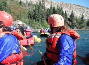
4.7The river is perfect for first time rafters and families, but the Kananaskis River also provides enough thrills for even a seasoned whitewater enthusiast. You will spend approximately 2 hours paddling, surfing and, if you feel brave enough, swimming in this glacial fed river! The section of rive...Read more -
Kananaskis, Alberta
Hike Old Baldy Ridge
9.3 mi / 2952.8 ft gainPark at the Evan Thomas parking lot to and the trailhead is in the south of that parking lot. It follows a well-defined trail up for most of the way before you start gaining elevation. When the trail starts heading south, keep an eye out for a small trail that will keep you heading east. This por...Read more -
Kananaskis, Alberta
Hike up Galatea Creek to Lillian Lake
Located on Highway 40 (Kananaskis Trail) and marked by the "Galatea" sign, there's not much more to this hike other than putting one foot in front of the other, but the amount of traffic it sees is a testament to the quality of this hike.Even on the backend of winter the numerous shades of green ...Read more

