Eldon, Alberta
Looking for the best camping in Eldon? We've got you covered with the top trails, trips, hiking, backpacking, camping and more around Eldon. The detailed guides, photos, and reviews are all submitted by the Outbound community.
Top Camping Spots in and near Eldon
-
Field, British Columbia
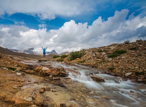
Hike Iceline Trail
5.012.3 mi / 2867.5 ft gainThe trailhead is accessed at the Takakkaw Falls parking lot, and then you walk to the Whiskey Jack Hostel where the trail officially begins (you can not park here unless you are a guest). The well marked trail then begins its very steep ascent through the forest where you will catch glimpses of ...Read more -
Field, British Columbia
Twin Falls via Yoho Valley Trail
4.010.92 mi / 2274 ft gainAn 18 km hike with approx 300 m elevation gain, with good variety, several waterfalls, Twin Falls themselves, Twin Falls Tea House (especially if it's open), a walk through a rock field with great views, a dried up lake bed. Start at the Takakkaw Falls parking lot and follow the well marked trai...Read more -
Field, British Columbia
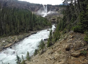
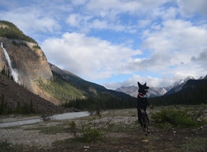
Camp at Takakkaw Falls
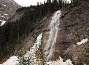
Takakkaw is the third highest waterfall in Canada. Mountain vistas, rushing glacial fed rivers, and waterfalls galore make Yoho a prime destination. This is the nicest drive-to campground around, and with little effort you have a semi-backcountry experience that is accessible to everyone.Take the...Read more -
Field, British Columbia
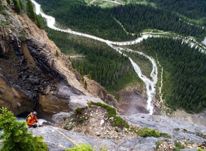
Rock Climb Takakkaw Falls
5.0Summit Elevation- 991 ftNamed after Bernie Schiesser and Sid Marty- Park warden at the time- Takakkaw is derived from a cree word meaning “It is wonderful”5.6- 12 pitches- MixedPark in the designated parking area for Takakkaw Falls in Yoho National Park, Follow a paved trail to the base of the wa...Read more -
Improvement District No. 9, Alberta
Kayak Two Jack Lake
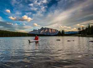
4.2Of all the lakes in the Banff area, this was one of my favorites to get out on the water. Don't expect the bright blue glacial waters of some of the other lakes in the Canadian Rockies, but the water is pristine and it was one of the few places I went where it felt like it was all locals hanging...Read more -
Improvement District No. 9, Alberta
Mosquito Creek Backpacking Adventure
18.7 mi / 3822.2 ft gainThe Mosquito creek trailhead is on the east side of the Icefield parkway road just across from the Mosquito Creek Hostel. You park in front of the hostel, and hop across the road to begin the trek.The trail winds up the Mosquito Valley, occasionally popping into a clearing where you get good view...Read more -
Improvement District No. 9, Alberta
Hike to Bow Glacier Falls
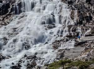
5.05.6 mi / 508.5 ft gainThe trailhead begins directly behind the Num-Ti-Jah Lodge on km 37 of the Icefields Highway. The trail is well marked and winds along the shore of Bow Lake for the first 1.2km of the hike. Eventually you will lead up to a narrow gorge and onto the crest of a glacial moraine. There are only a few...Read more -
Edgewater, British Columbia
Hike to Nub Peak
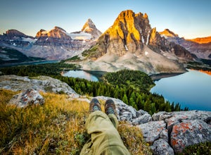
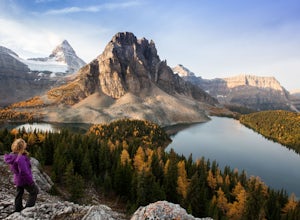
5.07.3 mi / 2789 ft gainStarting right at Mt. Assiniboine Lodge, there is very clear signage for this hike. The arrows will lead you over a wooden walkway right before you begin a gentle assent through the woods,gaining elevation the further you go, and then arrive at The Nublet which is before the peak. The Nublet has ...Read more -
Edgewater, British Columbia
Explore Mount Assiniboine Provincial Park
5.0Mount Assiniboine Provincial Park is a UNESCO World Heritage Site sequestered 27 km from the nearest road. We took a helicopter in, and hiked out . You can also hike both ways, but the hiking once you are there is more amazing than on the way in. You can also ski in on backcountry skis in the Win...Read more -
Kananaskis, Alberta
Bryant Creek Lodge via Watridge Lake Trail
16.65 mi / 1401 ft gainThis moderate-graded backcountry hike or ski in the winter can take 5-8 hours (one way). Most people hike or ski in from the Mt. Shark parking lot in Kananaskis Country, a 30 min. drive from Canmore, Alberta. From Mt. Shark Parking Lot (off the Smith-Dorrien Road), take the Watridge Lake Trail t...Read more -
Kananaskis, Alberta
Ribbon Falls
3.812.4 mi / 1148.3 ft gainRibbon Creek trail is accessible via Highway 40 at the turn off for Nakiska Mountain Resort. From there take a left at Centennial Drive and then a right onto Ribbon Creek Road. The hike begins at the far end of the Ribbon Creek Trailhead parking lot. There is an old coal mining cart at the start...Read more -
Kananaskis, Alberta
Backpack the Fortress Cirque
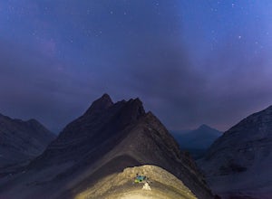
5.012.19 mi / 3507 ft gainNo better way to watch the stars with friends than huddled up in your sleeping bag on top of a 3000m summit. This describes the bivy at The Fortress. Starting at the Chester Lake Trailhead, take the unmarked trail on the right side of the parking lot. These winter cross-country ski trails take y...Read more

