Crowsnest Pass, Alberta
Looking for the best backpacking in Crowsnest Pass? We've got you covered with the top trails, trips, hiking, backpacking, camping and more around Crowsnest Pass. The detailed guides, photos, and reviews are all submitted by the Outbound community.
Top Backpacking Spots in and near Crowsnest Pass
-
Fernie, British Columbia
Hike the Mountain Lakes Trail (Heiko's Trail)
5.014.9 mi / 6889.8 ft gainFinished in 2003 by Fernie legend Heiko Socher, Mountain Lakes Trail (aka Heiko’s Trail) is about as good as it gets. This hike is not for the inexperienced hiker. You are way out in the backcountry with little to no other human contact. This is grizzly bear and cougar country so make sure to bri...Read more -
Estes Park, Colorado
Hike to Bear Lake, BC
4.05.6 mi / 1699.5 ft gainStart your hike at 6,100 feet elevation at the parking lot. The first section of the trail will take you through the forest on a rather steep trail. After half a mile keep left on the main trail that leads you away from the creek. Watch your step, the gully you're walking in can be slippery at ti...Read more -
Waterton, Alberta
Backpack the Alderson-Carthew Trail
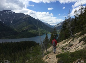
5.012.4 mi / 4101.1 ft gainTake the Akamina Parkway in Wateron Lakes National Park to its terminus at Cameron Lake. Your hike will start from here. If you’re through-hiking either drop another vehicle off at Cameron Falls in the town site, or be prepared to hitch a ride back to Cameron Lake, due to heavy traffic this is ...Read more -
Flathead County, Montana
Boulder Pass Trail: Kintla Lake to Boulder Pass
35.06 mi / 5600 ft gainGlacier National Park is often touted as one of the best places in the whole USA when it comes to hiking and backpacking, natural scenery and wildlife encounters. With tons of trails to choose from (over 700 miles at last count), it can obviously be tough to decide where exactly you want to explo...Read more -
Flathead County, Montana
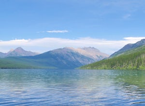
Kintla Lake Campground
* The road to this trailhead/lake is closed during the winter. Kintla Lake is one of the lesser explored lakes in Glacier National Park. Located on the west side of the park, it is accessible via an unpaved road from the Polebridge Ranger Station. From the Ranger Station, take a LEFT and contin...Read more -
Arrow Creek, British Columbia
Hike or Bike to Fish Lake
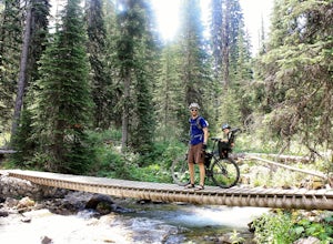
3.7 mi / 500 ft gainTop of the World Park is located 48 kilometres northeast of the village of Kimberley, access is via White Swan and Lussier Forest Service Roads, and extreme caution must be exercised at all times while travelling these roads. The access route is normally passable from late May until late October....Read more -
Waterton, Alberta
Hike to Crypt Lake
4.310.8 mi / 2296.6 ft gainThe hike begins with a gradual climb through shaded forest, which thins as you progress into the hanging valley. Along the way, you will pass by three amazing waterfalls: Twin Falls at 3.5km (2 mi), Burnt Rock Falls at 5.6km (3.5 mi) and the 600ft Crypt Falls at 8km (5 mi). There is also a 1km (0...Read more -
Flathead County, Montana
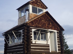
Camp Out at the Hornet Lookout
1 mi / 800 ft gainReservations for Hornet Lookout are obtained via Recreation.gov, and can be made up to six months in advance. Consider a four-wheel or all-wheel drive vehicle with some clearance if available, as the forest service roads aren't always well maintained. Although the hike is short, it is all switc...Read more

