Top Spots in and near Clearwater County
-
Improvement District No. 9, Alberta
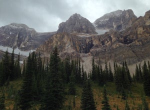
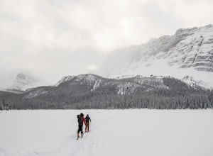
The Mosquito creek trailhead is on the east side of the Icefield parkway road just across from the Mosquito Creek Hostel. You park in front of the hostel, and hop across the road to begin the trek.The trail winds up the Mosquito Valley, occasionally popping into a clearing where you get good view...
Read more
-
Improvement District No. 9, Alberta
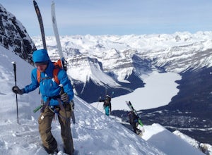
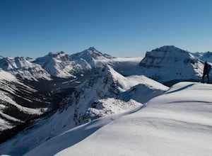
Mt Hector's main route requires a ski mountaineering ascent. It moves through a lot of complex avalanche terrain, across glaciers, and through many terrain traps. Most people will do this route in spring, aiming to be off the mountain before noon. This route should be attempted only by very fit ...
Read more
-
Improvement District No. 9, Alberta
Established in 2012 by Eric Dumerac, Sid Cupido and Chad Casey.
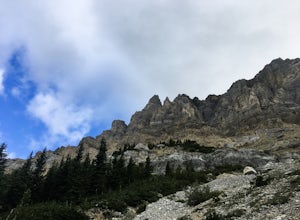
This 13-pitch, 300m route of relatively easy climbing provides some decent exposure on a dolomite tower attached to Mount Andromache, Banff National Park. 2 hr approach, expect 8-10 hour day.
Approach
- Park in the pull out on the ...
Read more
-
Saskatchewan River Crossing, Alberta
5.0
11.2 mi
/ 7545.9 ft gain
Trailhead
Owen Creek located by the East Banff National Park Boundary on the David Thompson Highway (#11). There is no sign for Owen Creek so keep you eyes open for a pullout approximately 2kms east of the Banff National Park toll gate. You will find the trail to the right of the creek when facin...
Read more
-
Improvement District No. 9, Alberta
4.9
4.22 mi
/ 863 ft gain
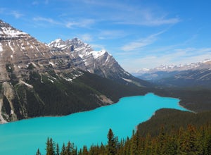
Peyto Lake is a scenic location on the Icefields Parkway about 40 km (25 miles) north of the town of Lake Louise. Access to the viewing area for this magnificent area is immediately off the parkway and is well signposted.
From the parking lot at Bow Summit, a short paved trail leads to one of th...
Read more
-
Improvement District No. 9, Alberta
Park at the viewpoint for the Crowfoot Glacier, roughly 32 kilometers after turning off Highway 1. It does sometimes get busy so you might end up parking on the side of the road. From the parking lot head southwest, there is almost always a skin track here. No skin track? Freshies! YAY! After a s...
Read more
-
Improvement District No. 9, Alberta
2.0
4.3 mi
/ 2099.7 ft gain
For anyone looking to leave crowds behind but still have a killer day, Crystal Ridge might be up your alley! On an unseasonably warm January Saturday, I was the only one to access the trail. My singular trail was the only blemish on the pristine field of snow.The trailhead is located in the north...
Read more
-
Improvement District No. 9, Alberta
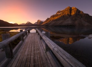
Make sure check the sunrise time and to try to arrive 30 minutes to an hour before. If you're driving north or south along the Icefields Parkway, you'll see a sign for Bow Lake, it's about 38km north of Lake Louise. There are two pull-offs for the lake, if you're heading north take the second roa...
Read more
-
Improvement District No. 9, Alberta
5.0
5.6 mi
/ 508.5 ft gain
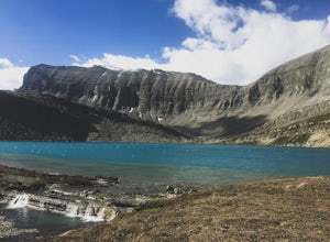
The trailhead begins directly behind the Num-Ti-Jah Lodge on km 37 of the Icefields Highway. The trail is well marked and winds along the shore of Bow Lake for the first 1.2km of the hike. Eventually you will lead up to a narrow gorge and onto the crest of a glacial moraine. There are only a few...
Read more
-
Improvement District No. 9, Alberta
Drive up the Icefields Parkway (Highway 93N) for 60 km. From there you will see a small rest stop like parking lot. From there the trail is quite obvious.The trail is short, but very steep. It shouldn't take more than 45 minutes to arrive at the climb. Once there enjoy the beautiful views and var...
Read more
-
Improvement District No. 9, Alberta
Hector Lake is one of the larger lakes in Banff National Park. It is surrounded by the Waputik Range to the west, and offers pristine views of the mountains. Hector Lake is idyllic and peaceful. Most tourists drive past the trailhead on the parkway, which means the hike is not at all busy. An...
Read more

