Clearwater County, Alberta
Looking for the best hiking in Clearwater County? We've got you covered with the top trails, trips, hiking, backpacking, camping and more around Clearwater County. The detailed guides, photos, and reviews are all submitted by the Outbound community.
Top Hiking Spots in and near Clearwater County
-
Clearwater County, Alberta
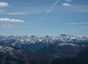
Hike Maze Peak
4.05.3 mi / 2624.7 ft gainThere's not much of a trailhead for Maze Peak - in fact there isn't a trailhead at all. Bring up the start location from this post and pull over on the side of the dirt road once you get to it! The hardest part about this trail is just kind of finding it, really. The good news is that you're goin...Read more -
Clearwater County, Alberta
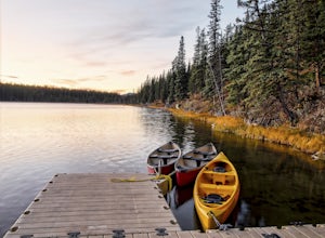
Hike the Goldeye Lake Loop
5.01.6 mi / 32.8 ft gainAccess: Goldeye Road is located 100kms from Rocky Mountain House, 10kms west of Nordegg on Highway 11. Follow the road towards the lake access point on your left. Note: Please take the left turn to get to the lake and campground, if you follow the road to its end you end up at the Goldeye Centre...Read more -
Nordegg, Alberta
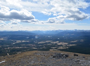
Hike Coliseum Mountain, Alberta
8.1 mi / 2250 ft gainFrom highway 11, turn onto Range Rd. 152A (Shunda Creek Rd.) almost straight across from the exit into Nordegg. Follow the signs to Coliseum Hike which are very clear and easy to follow, and in approximately five minutes you'll be in the parking lot and ready to begin. Near the beginning you'll...Read more -
Clearwater County, Alberta
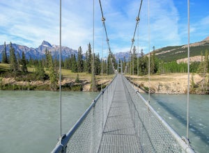
Siffleur Falls Trail
4.09.02 mi / 922 ft gainApproximately 93 miles (150kms) West of Rocky Mountain House along Highway 11, the trailhead begins at the Siffleur Falls Day Use Area. This spot offers restrooms and picnic tables to relax after your hike. Begin by following the trail along the North Saskatchewan River. Cross the very long susp...Read more -
Clearwater County, Alberta
Hiking Mt. Ernest Ross
3.0Clearly visible from the highway, the Twin Peaks of Ernest Ross get their namesake from the man who first drove a 1930 Ford Roadster between Rocky Mountain House and Saskatchewan River Crossing.After a 5 minute walk along the north bank of Bridge Creek, the hike begins to pick up elevation. A str...Read more -
Clearwater County, Alberta
Hike to Allstones Lake
4.53.1 mi / 2165.4 ft gain194km West of Rocky Mountain House, the trail head is marked by a small brown sign, with parking available across the highway on Abraham Lake. Very easy to follow the trail, no scramble sections but definitely a steady incline. Near the lake there will be a fork in the trail, head left to hike d...Read more -
Clearwater County, Alberta
Hike Windy Point Ridge
4.75.3 mi / 4002.6 ft gainThe trail is steep from the very beginning, which offers rewarding views from the get go. There is moderate scrambling throughout the hike up, which requires the use of hands and some minor route finding at times. Once you reach the top of Windy Point Ridge, you can continue on northeast towards ...Read more -
Clearwater County, Alberta
Backpack the Vision Quest Trail
4.24.16 mi / 2818 ft gainThis short, but steep hike includes a moderate scrambling section, leading to an open spine that becomes increasingly difficult. The views of Abraham Lake are well worth the uphill grind, however, and this makes for a great half-day or beautiful backcountry overnight trip. About one third of the...Read more -
52.013448,-116.628897, Alberta
Mount Cline
4.014.56 mi / 6535 ft gainStarting 105 miles (169kms) from Rocky Mountain House, the trailhead for this hike begins across the highway from Thompson Creek Campground. There is a grassy area to park and the path extends obviously on the east side of the creek. The initial 2.5 miles (4.2kms) meanders along the creek with 2...Read more -
Improvement District No. 9, Alberta
Mosquito Creek Backpacking Adventure
18.7 mi / 3822.2 ft gainThe Mosquito creek trailhead is on the east side of the Icefield parkway road just across from the Mosquito Creek Hostel. You park in front of the hostel, and hop across the road to begin the trek.The trail winds up the Mosquito Valley, occasionally popping into a clearing where you get good view...Read more -
Improvement District No. 9, Alberta
Ski Mt. Hector
8.6 mi / 5275.6 ft gainMt Hector's main route requires a ski mountaineering ascent. It moves through a lot of complex avalanche terrain, across glaciers, and through many terrain traps. Most people will do this route in spring, aiming to be off the mountain before noon. This route should be attempted only by very fit ...Read more -
Saskatchewan River Crossing, Alberta
Backpack to Michelle Lakes
5.011.2 mi / 7545.9 ft gainTrailhead Owen Creek located by the East Banff National Park Boundary on the David Thompson Highway (#11). There is no sign for Owen Creek so keep you eyes open for a pullout approximately 2kms east of the Banff National Park toll gate. You will find the trail to the right of the creek when facin...Read more -
Improvement District No. 9, Alberta
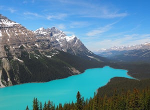
Peyto Lake Overlook and Bow Pass Summit
4.94.22 mi / 863 ft gainPeyto Lake is a scenic location on the Icefields Parkway about 40 km (25 miles) north of the town of Lake Louise. Access to the viewing area for this magnificent area is immediately off the parkway and is well signposted. From the parking lot at Bow Summit, a short paved trail leads to one of th...Read more -
Improvement District No. 9, Alberta
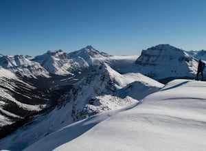
Snowshoe up Crystal Ridge
2.04.3 mi / 2099.7 ft gainFor anyone looking to leave crowds behind but still have a killer day, Crystal Ridge might be up your alley! On an unseasonably warm January Saturday, I was the only one to access the trail. My singular trail was the only blemish on the pristine field of snow.The trailhead is located in the north...Read more -
Improvement District No. 9, Alberta
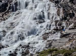
Hike to Bow Glacier Falls
5.05.6 mi / 508.5 ft gainThe trailhead begins directly behind the Num-Ti-Jah Lodge on km 37 of the Icefields Highway. The trail is well marked and winds along the shore of Bow Lake for the first 1.2km of the hike. Eventually you will lead up to a narrow gorge and onto the crest of a glacial moraine. There are only a few...Read more -
Improvement District No. 9, Alberta
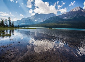
Hike to Hector Lake
5.03.1 miHector Lake is one of the larger lakes in Banff National Park. It is surrounded by the Waputik Range to the west, and offers pristine views of the mountains. Hector Lake is idyllic and peaceful. Most tourists drive past the trailhead on the parkway, which means the hike is not at all busy. An...Read more

