Banff, Alberta
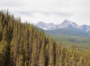
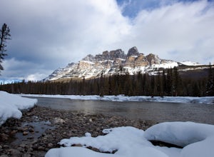
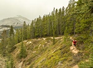
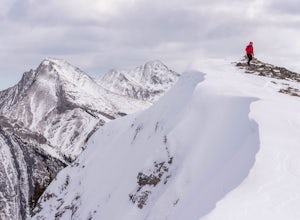
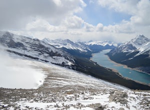
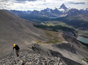
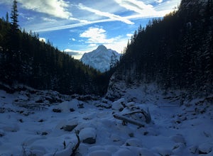
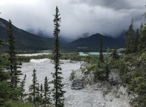
This magical resort town is nestled within Banff National Park and provides the best access to the area's world-class outdoor activities and breathtaking scenery and wildlife.
Top Spots in and near Banff
-
Canmore, Alberta
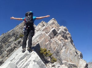
Climb the South East Ridge of Lady MacDonald
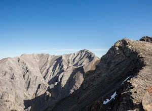
Lady Macdonalds South East ridge is a route that has grown in popularity in recent years thanks to it's proximity to Canmore, intro level alpine climbing, and wonderful views. The Rockies Central Guidebook has the best images and descriptions of this specific climb This route starts in Cougar Cre...Read more -
Canmore, Alberta
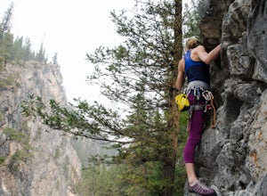
Rock Climb at Cougar Creek Canyon
4.03.1 mi / 49.2 ft gainFrom the TransCanada highway, take the second exit into Canmore (from either direction), and head uphill on Elk Run Boulevard. At the top of the hill, across from the Iron Goat restaurant, there is a three way intersection, head right across the bridge and take an immediate left into the parking ...Read more -
Improvement District No. 9, Alberta
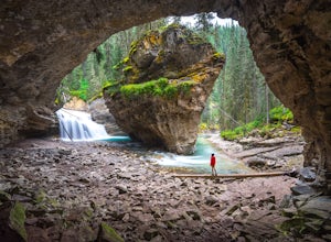
Hike to the Johnston Canyon Cave
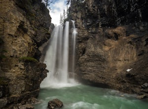
4.43.4 mi / 700 ft gainIt’s amazing how much varied scenery you see over the course of the very short 1.7 mile hike. Follow the catwalks through the canyon as the stunning turquoise water flows below. If you’re feeling up for a longer hike, you can continue along the trail to the Ink Pots (makes for a great winter hike...Read more -
Improvement District No. 9, Alberta
Hike to the Ink Pots via Johnston Canyon
3.87.5 mi / 1050 ft gainThe hike through Johnston Canyon to its Upper and Lower falls is one of the most popular hikes to do in Banff - mostly due the little effort required for the great reward.To start, take the Bow Valley Parkway (Highway 1A) - the parking lot and trailhead are clearly marked by a Johnston Canyon sig...Read more -
Improvement District No. 9, Alberta
Hike Johnston Canyon
5.01.6 mi / 393.7 ft gainGetting There: The Canyon is very well marked, but here are directions anyway if you're coming from Banff: Head West on the Trans-Canada Highway for about 5 km or so. Take the Bow Valley Parkway exit, and continue West for another 18km - you'll then see signs to your right for Johnston Canyon. Th...Read more -
Canmore, Alberta
Hike Grotto Mountain
7.5 mi / 4429.1 ft gainFrom Highway 1A take the exit to the Alpine Club of Canada. Park near the woodpile as the actual parking lot is for Alpine Club customers. The trailhead about 30 metres up the road from the woodpile.The start of the trail is fairly relaxed but it quickly becomes a steep uphill battle. There are t...Read more -
Kananaskis, Alberta
Snowshoe to Old Goat Glacier
6.2 mi / 2296.6 ft gainThe trialhead is found on West Side Road on the west side of Spray Lakes Resevoir. In winter, West Side Road is closed to vehicles due to dogsled tours, but is still open to walking - it's a pretty neat experience to get passed by a dozen sled dog teams. Since the road is closed, it adds an extra...Read more -
Improvement District No. 9, Alberta
Snowshoe to Rockbound Lake
3.011 mi / 2460 ft gainThis is an amazing trail, but not for the feint of heart!The trailhead is located on the Bow Valley Parkway (Highway 1A) in Banff National Park, AB at the Castle Mountain sign. The trailhead is marked by an information sign in the north of the parking lot and the trail initially heads north - not...Read more -
Improvement District No. 9, Alberta
Hike to Silverton Falls
1.2 mi / 120 ft gainStarting at the Rockbound Lake trailhead you will want to follow the flat dirt path straight, until you see the junction in the road with the sign pointing you to Silverton Falls (it will be about 500 steps or a quarter of a mile). We made the mistake of taking the first junction which lead us to...Read more -
Improvement District No. 9, Alberta
Snowshoe to Silverton Falls and Rockbound Lake
10.4 mi / 2493.4 ft gainPark at Rockbound Lake Trailhead, 0.2 km east of Castle Junction on Bow Valley Parkway (Highway 1A).The trail wanders through forest until coming to a fork to the right, leading to SilvertonFalls. This is a worthwhile 1 km side trip to a beautiful small waterfall dropping into a turquoise blue po...Read more -
Canmore, Alberta
Trail Run on the Wind Ridge-Bow Valley
8.4 miWind Ridge is a 7,217 ft / 2,200 m mountain peak near Canmore, Alberta, Canada, with spectacular views into the Bow Valley. The trail is primarily used for hiking and is accessible from May until November.Take the Spray Lakes Road from the town of Canmore for 22km. The trail head is just below th...Read more -
Canmore, Alberta
Hike Pigeon Mountain
Important note: trail closure from December 1 - June 15th.Altitude: 2,394m (7,852 ft)Elevation gain: 990m (3,247 ft)Round trip: 6-6.5 hours (15 kms)Heading West from Calgary on Trans Canada Highway #1 - take the Dead Mans Flats overpass, and go South for 1 -1.5 kms until you reach a parking lot. ...Read more -
Kananaskis, Alberta
Hike up Windtower Mountain
5.06.2 mi / 3182.4 ft gainSpray Lakes is one of my favorite areas in Kananaskis, and the view of Spray Lakes from the summit is absolutely breathtaking.The trailhead is located along the Smith-Dorrien Trail (Spray Lakes Road) – look for a yellow sign on the eastern side of the road, about 1 mile (1.5 km) south of the Drif...Read more -
Edgewater, British Columbia
Hike to Windy Ridge
10.6 mi / 1640.4 ft gainWindy Ridge is located by Og Pass in the Mount Assiniboine Provincial Park. Whether you start from any of the campgrounds, huts or the lodge, the way to the Windy Ridge Trail is well indicated and the trail itself is well worn. Beware that if you are using the Gem Trek map (1:100,000), the notes ...Read more -
Bighorn No. 8, Alberta
Icewalk in Grotto Canyon
3.5To get to the trailhead, take Highway 1 and take the Seebe exit (Highway 1X). Continue north on Highway 1X and take a left at Highway 1A. A few kilometres after the town of Exshaw, turn into the parking lot marked by the Grotto Pond sign.The trailhead is well marked and follow the trail until the...Read more -
51.064574,-115.203550
Hike Grotto Creek
3.7 mi / 410.1 ft gainThis is a great hike that could be a quick 2 hour sprint or stretch into a full day affair. The trailhead is located just off Highway 1A at a fishing pond with outhouses and ample parking. The trail is well signed and in a quick kilometre, hikers will be at the actual creek bed. In summer, hike...Read more

