Banff National Park, Alberta
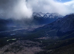
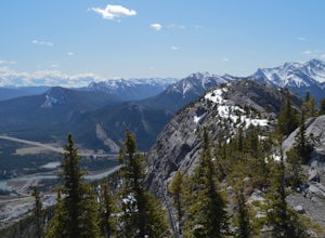
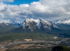
Bannff National Park located approximately 90 minutes from Calgary spans 6,641 square kilometres (2,564 square miles). Banff is home to amazing destinations like Moraine Lake, Lake Louise, Icefields Parkway, and Peyto Lake, and Johnston Canyon. There are both campgrounds, hotels, and other lodging options near Banff for an overnight trip. Banff National Park is typically visited during two seasons: Summer and Winter. The summer provides for all of the great hiking opportunities whereas the winter provides great skiing at the big three resorts: Lake Louise, Banff Sunshine, and Norquay.
Top Spots in and near Banff National Park
-
Clearwater County, Alberta
Ice climb Two O'Clock Falls
Park at the "Siffleur Falls Trail Staging Area" parking lot on the east side of the highway. From there you will need to carefully cross the highway to the West side. The waterfall is visible from the highway. There is a gated road that you will walk up. The land on the West side of the highway ...Read more -
Canmore, Alberta
Hike Pigeon Mountain
Important note: trail closure from December 1 - June 15th.Altitude: 2,394m (7,852 ft)Elevation gain: 990m (3,247 ft)Round trip: 6-6.5 hours (15 kms)Heading West from Calgary on Trans Canada Highway #1 - take the Dead Mans Flats overpass, and go South for 1 -1.5 kms until you reach a parking lot. ...Read more -
Edgewater, British Columbia
Scramble the Towers
12.4 mi / 3937 ft gainFrom the Assiniboine Lodge (or your campsite or your hut), follow directions to Wonder Pass. After the pass, there are two ways to get up to The Towers, which you can see on the map in the pictures. The first option is to keep going on Wonder Pass Trail a bit further, lose some elevation and cut ...Read more -
Kananaskis, Alberta
Hike up Windtower Mountain
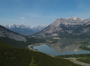
5.06.2 mi / 3182.4 ft gainSpray Lakes is one of my favorite areas in Kananaskis, and the view of Spray Lakes from the summit is absolutely breathtaking.The trailhead is located along the Smith-Dorrien Trail (Spray Lakes Road) – look for a yellow sign on the eastern side of the road, about 1 mile (1.5 km) south of the Drif...Read more -
Bighorn No. 8, Alberta
Hike Mt. Yamnuska
4.35.4 mi / 855 ft gainThis Alberta classic start just a few minutes off the Trans Canada. The trail begins gently through forests of Aspen. In spring and fall these are particularly lovely. Steadily the trail heads upwards bringing you to a three-way junction. Head right, and follow the trail Eastwards, as it zigs int...Read more -
Bighorn No. 8, Alberta
Grillmair Chimneys Climb - Mount Yamnuska
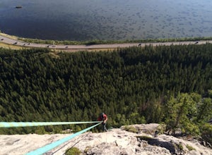
First route put up on Yamnuska by Hans Gmoser, Leo GrillmairSome say this was the start of modern climbing in Canada5.6 Trad Route- 8 PitchesThis climb is very unique once you get to the last pitch- squeezing your way into a cave, once at the cave you climb through a small hole which brings you o...Read more -
Bighorn No. 8, Alberta
Hike through McGillivray Canyon
1.0Between Pigeon Mountain and Mount McGilliveray, pull off the road and slow down until you see a little dirt road turn off to the large parking area.Follow the trail heading south- don't take the transcanada trail- further up you will find another small trail that takes you to the creek bed. Follo...Read more -
Bighorn No. 8, Alberta
Climb McGillivray Slabs
Morningside RouteLocated on the North side of Mount McGillivray5.7 Sport Route- 4 PitchesWalk off or RappelGetting there: Located across from Lac Des Arc. Theres a small gravel road turn off just before McGillivray Ponds- easy to miss! Then follow a small trail on the right side that leads up to ...Read more -
Bighorn No. 8, Alberta
Summit Door Jamb Mountain and Loder Peak
4.0If you're looking for views, vistas, and great scrambles in the Rockies, this is a great place to start. For any geology enthusiast, furthermore, this hike cannot be missed, offering great opportunities to search for some seriously ancient fossils.The trail begins on the west side of the parking ...Read more -
Bighorn No. 8, Alberta
Hiking Jura Creek
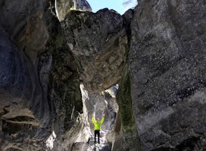
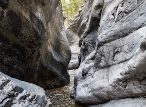
5.0From the parking lot find the trail head that leads away from the highway. This is an easy, but very interesting hike that will take you through a winding slot canyon.Take your time and explore all the various options, there are small waterfalls, and if you're feeling really adventurous you can c...Read more -
Bighorn No. 8, Alberta
Heart Mountain and Grant MacEwan Scramble
2.0A bit of a jaunt is required to get to the start of the scramble - follow the Heart Creek Trail, and after crossing the creek, look for a yellow sign that marks the scramble route. There will be exposure as well as use of hands, but it is totally do-able as long as you keep your head right!After ...Read more -
Clearwater County, Alberta
Hiking Mt. Ernest Ross
3.0Clearly visible from the highway, the Twin Peaks of Ernest Ross get their namesake from the man who first drove a 1930 Ford Roadster between Rocky Mountain House and Saskatchewan River Crossing.After a 5 minute walk along the north bank of Bridge Creek, the hike begins to pick up elevation. A str...Read more -
Kananaskis, Alberta
Hike Spencer Creek
2.5 mi / 1968.5 ft gainSouth of the Driftwood turnoff (approximately 4 km) on Spray/Smith-Dorrien Trail a large creek bed on the east of the road is the beginning of Spencer Creek. The trail is easy enough to find, just have to do a bit of looking.Once on the trail, you'll basically have no trouble at all. The trail it...Read more -
52.013448,-116.628897, Alberta
Mount Cline
4.014.56 mi / 6535 ft gainStarting 105 miles (169kms) from Rocky Mountain House, the trailhead for this hike begins across the highway from Thompson Creek Campground. There is a grassy area to park and the path extends obviously on the east side of the creek. The initial 2.5 miles (4.2kms) meanders along the creek with 2...Read more -
Kananaskis, Alberta
Scramble up Mount Sparrowhawk for Sunrise
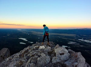
7.5 mi / 4527.6 ft gainMount Sparrowhawk was the first mountain I ever fell in love with -- I knew it well, and I knew that the summit would still be accessible with a bit of snow on it in October. With waning daylight hours, it was a perfect option - albeit intense - for a sunrise hike.The trailhead is located on the ...Read more -
Saskatchewan River Crossing, Alberta
Backpack to Michelle Lakes
5.011.2 mi / 7545.9 ft gainTrailhead Owen Creek located by the East Banff National Park Boundary on the David Thompson Highway (#11). There is no sign for Owen Creek so keep you eyes open for a pullout approximately 2kms east of the Banff National Park toll gate. You will find the trail to the right of the creek when facin...Read more

