Banff National Park, Alberta
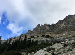
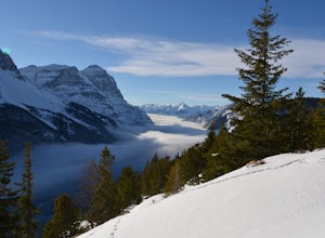
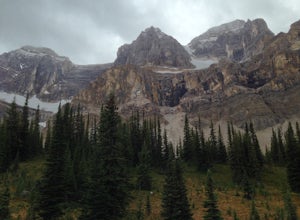
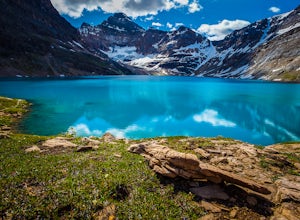
Bannff National Park located approximately 90 minutes from Calgary spans 6,641 square kilometres (2,564 square miles). Banff is home to amazing destinations like Moraine Lake, Lake Louise, Icefields Parkway, and Peyto Lake, and Johnston Canyon. There are both campgrounds, hotels, and other lodging options near Banff for an overnight trip. Banff National Park is typically visited during two seasons: Summer and Winter. The summer provides for all of the great hiking opportunities whereas the winter provides great skiing at the big three resorts: Lake Louise, Banff Sunshine, and Norquay.
Top Spots in and near Banff National Park
-
Improvement District No. 9, Alberta
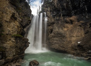
Hike Johnston Canyon
5.01.6 mi / 393.7 ft gainGetting There: The Canyon is very well marked, but here are directions anyway if you're coming from Banff: Head West on the Trans-Canada Highway for about 5 km or so. Take the Bow Valley Parkway exit, and continue West for another 18km - you'll then see signs to your right for Johnston Canyon. Th...Read more -
Improvement District No. 9, Alberta
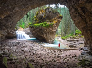
Hike to the Johnston Canyon Cave
4.43.4 mi / 700 ft gainIt’s amazing how much varied scenery you see over the course of the very short 1.7 mile hike. Follow the catwalks through the canyon as the stunning turquoise water flows below. If you’re feeling up for a longer hike, you can continue along the trail to the Ink Pots (makes for a great winter hike...Read more -
Improvement District No. 9, Alberta
Hike to the Ink Pots via Johnston Canyon
3.87.5 mi / 1050 ft gainThe hike through Johnston Canyon to its Upper and Lower falls is one of the most popular hikes to do in Banff - mostly due the little effort required for the great reward.To start, take the Bow Valley Parkway (Highway 1A) - the parking lot and trailhead are clearly marked by a Johnston Canyon sig...Read more -
Improvement District No. 9, Alberta
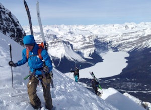
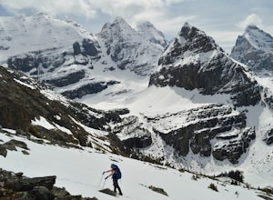
Ski Mt. Hector
8.6 mi / 5275.6 ft gainMt Hector's main route requires a ski mountaineering ascent. It moves through a lot of complex avalanche terrain, across glaciers, and through many terrain traps. Most people will do this route in spring, aiming to be off the mountain before noon. This route should be attempted only by very fit ...Read more -
Improvement District No. 9, Alberta
Climb Achilles Spire
5.0Established in 2012 by Eric Dumerac, Sid Cupido and Chad Casey. This 13-pitch, 300m route of relatively easy climbing provides some decent exposure on a dolomite tower attached to Mount Andromache, Banff National Park. 2 hr approach, expect 8-10 hour day. Approach - Park in the pull out on the ...Read more -
Field, British Columbia
Ski Tour/Snowshoe Mt. Paget
6.8 mi / 8399 ft gainTrailhead: Approximately 5.5km West of the Alberta/British Columbia border sits the Great Divide Lodge. Towards the back left of the main building is the trailhead. Route: The trail is clear from the trailhead and for most of the way to the summit of Mt. Paget. Be aware on your descent if you ...Read more -
Improvement District No. 9, Alberta
Mosquito Creek Backpacking Adventure
18.7 mi / 3822.2 ft gainThe Mosquito creek trailhead is on the east side of the Icefield parkway road just across from the Mosquito Creek Hostel. You park in front of the hostel, and hop across the road to begin the trek.The trail winds up the Mosquito Valley, occasionally popping into a clearing where you get good view...Read more -
Field, British Columbia
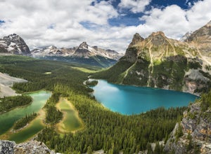
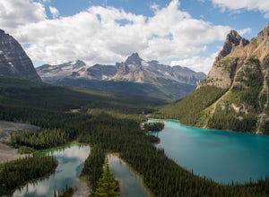
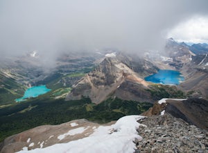
Explore Lake O'Hara
4.8Hidden deep in the Canadian Rockies is Lake O'Hara, a diamond among the rough peaks. Ten minutes drive east of a small town called Field in British Columbia, or sixty minutes west of Banff, Alberta; is a small parking lot where the adventure begins. A $25 return, 30 minute bus ride from there tak...Read more -
Field, British Columbia
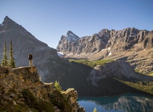
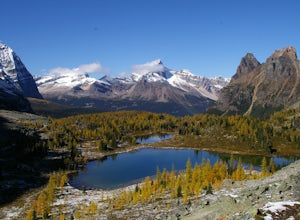
Hike to the Opabin Prospect
5.02.5 mi / 820 ft gainLocated in Yoho National Park, Lake O'Hara is said to be the crown jewel of the Canadian Rockies (rightly so!). Callum Snape has described a bit of the process on what it takes to gain access to Lake O'Hara at this post here. Once you arrive at Lake O'Hara, either at the lodge or at the neighbori...Read more -
Field, British Columbia
Backpack to Alberta's Abbot Pass Hut
3.016.2 mi / 1500 ft gainBuilt in 1922 with the stones from the pass, the Abbot Pass Hut and has served both as a base for mountaineers and as a destination for strong hikers ever since. Sitting at 2,926 meters' elevation, it is second only to the Neil Colgan Hut on the list of highest permanent structures in Canada. The...Read more -
Field, British Columbia
Hike the Yuckness Ledges in Yoho National Park
5.5 mi / 0 ft gainThe Lake O’Hara Alpine Circuit is short loop - but it's not for the faint-hearted. We walked Yuckness Ledges, which is a trail under a large cliff with incredible views over Lake O'Hara and the rest of Yoho National Park. The trail starts from the Lake O’Hara outlet bridge across from the Le Rela...Read more -
Field, British Columbia
Scramble the North Summit of Mount Yukness
6.5 mi / 2690.3 ft gainBeginning at Lake O'Hara, head counter-clockwise around the lake - you'll get distracted by the reflections in the water if the water is calm enough, that's ok. You'll want to take the Opabin East route, but Opabin West will work too. Just remember to get on the east side at some point in time!Th...Read more -
Field, British Columbia
Snowshoe to Wiwaxy Gap
1.03.7 mi / 1310 ft gainViews in the Lake O'Hara area are unique from the “sea of mountains” look that defines many excellent weekend hikes in the Rockies. With Odoray, Yukness, Huber, Wiwaxy, Schaffer, Biddle, and Lefroy in such close proximity to each other, it is easy to imagine you are in Pakistan, Nepal, or Argenti...Read more -
Field, British Columbia
Scramble Little Odaray
6.2 mi / 3116.8 ft gainFirst things first: prior to August 15, there are only 4 groups of people allowed in this area per day, and after August 15, only 2 groups are allowed in. Start early!Starting at Lake O'Hara, head towards the Elizabeth Parker ACC Hut. Continue past the hut and meander through meadows and forests....Read more -
Field, British Columbia
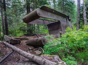
Hike "A Walk in the Past Trail," Yoho NP
3.02 mi / 396 ft gainThe trail begins towards the backside of Kicking Horse camp area near the washrooms. Please know that access to this area is typically closed between October and June. Look for the large trail sign and be sure to grab a brochure to enjoy the self-guided tour. The brochures may not be available, ...Read more -
East Kootenay G, British Columbia
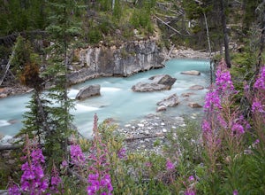
Hiking in Marble Canyon
1.2 miMarble Canyon is easily accessible off of the 93S in Kootenay National Park between Banff and Radium.This is a really beautiful area and a nice easy walk for the family with some beautiful scenery to go along with it. Make a visit here in August when the the Fireweed is at its prime, lining the f...Read more

