Bondurant, Wyoming
Looking for the best hiking in Bondurant? We've got you covered with the top trails, trips, hiking, backpacking, camping and more around Bondurant. The detailed guides, photos, and reviews are all submitted by the Outbound community.
Top Hiking Spots in and near Bondurant
-
Alta, Wyoming
Hike Coal Creek Trail
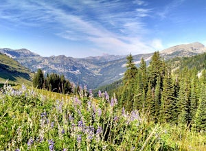
Imagine hiking through the expansive valleys of wildflowers and evergreen forests with grand views of the Tetons. That is exactly what this trail provides. The coal creek trail is an access trail to many other great trails throughout the Bridger-Teton National Forest. This gives the adventurer th...Read more -
Alta, Wyoming
Taylor Mountain via Cole Creek
8.76 mi / 3261 ft gainThe Coal Creek Trailhead is at 7,250 feet. Follow the trail as it goes up Coal Canyon and through Coal Creek Meadows. Taylor mountain is the peak on the left side of the canyon as you climb. When you come to a fork at 2.5 miles (just after the meadow), take the left fork (toward the west) to begi...Read more -
Moose, Wyoming
Taggart Lake Trail
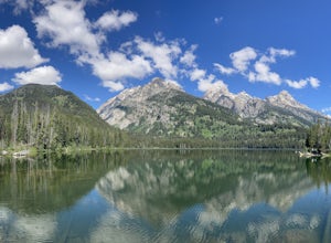
5.03.73 miThis is an easy, four-mile loop hike that doesn't have much of elevation gain. Start off at the Taggart Lake Trailhead. Hike through the forest following a stream until you reach an opening. Continue hiking until you reach the lake. Sit back and enjoy reaching the lake with a snack and some wate...Read more -
Moose, Wyoming
Hike to Bradley Lake
5.58 mi / 7022 ft gainSo the hike starts out at Taggart Lake Trailhead ( 6625') and the highest point on the trail is (7022'). Follow this trail all the way along the stream to your left. You will go through a pretty dense forest for a bit, this area can get wet and muddy depending on the season so equip yourself acco...Read more -
Moose, Wyoming
Snowshoe to Taggart Lake
3.04 mi / 460 ft gainPark at the nicely kept Taggart Lake trailhead parking lot and grab your snowshoes for an exciting 2 mile trail hike to the gorgeous frozen Taggart Lake. The lake is situated right in the middle of a view of the Mount Wister, South Teton, and Middle Teton peaks. The trails are all well kept and p...Read more -
Moose, Wyoming
Teton Park Road
15.73 mi / 646 ft gainTeton Park Road Trail is a point-to-point trail where you may see beautiful wildflowers located near Moose, Wyoming.Read more -
Moose, Wyoming
Camp at Upper View Campground
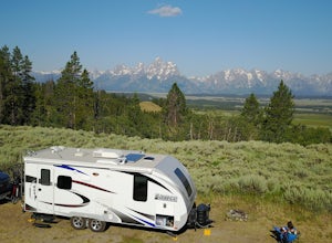
There is so much to see and do in Wyoming's National Parks but with a view (of the Tetons) and a price (FREE) like this it is pretty unlikely you will want to leave this unbeatable campsite. Take is from us, after 14 months of traveling the country this is by far our FAVORITE BOONDOCKING CAMPSITE...Read more -
Moose, Wyoming
Camping at "The Observatory"
4.9Ah...the Observatory. This is not its actual name, but the nickname it has earned over many years of use by the seasonal employees. This is an amazing site to camp at, just on the edge of the Bridger-Teton forest right outside of the park. This area overlooks the entire valley and Teton range. Th...Read more -
Dubois, Wyoming
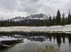
Explore the Breccia Cliffs
As you drive from Dubois to Togwotee Pass or Grand Teton you will no doubt notice beautiful cliffs right off the road. These are the Breccia Cliffs. This whole area offers plenty of places to explore, photograph, fish, swim, hike and much more including places like Wind River Lake, Brooks Lake, a...Read more -
Dubois, Wyoming
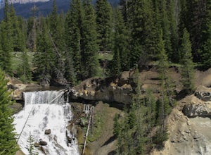
Photograph Brooks Lake Creek Falls
5.00.5 miThis waterfall is is located at the Falls campground near Togwotee Pass. Located right off the highway it is a must stop on your way to Yellowstone or Grand Teton. If you choose to camp here, the waterfall is literally right in your backyard, no hike necessary. However, if you aren't camping here...Read more -
Moose, Wyoming
Snowshoe to the Cunningham Cabin
4.02 miDuring the summer and fall seasons, this trail is easily accessible, with a large parking lot just off of highway 191, and a smaller lot closer to the cabin. In the wintertime, you must make the hike from the main parking lot to the cabin, since the road leading to the smaller lot is not plowed....Read more -
Alta, Wyoming
Surprise Lake via Lupine Meadows
9.69 mi / 2946 ft gainGetting Started There is a good amount of parking at the Lupine Meadows Trailhead but on weekends and nice days it will fill up quickly so it is best to arrive as early as possible. The Trail The trail to Surprise Lake starts relatively level before quickly beginning to ascend after about a t...Read more -
Alta, Wyoming
Backpack the South Fork of Garnet Canyon
5.011 mi / 4682 ft gainTo start this trip you will need to go to one of the local ranger stations for a backcountry permit, Jenny Lake, Colter Bay, etc. Or if you like to plan ahead, you can make a reservation January through May on https://www.nps.gov/grte/plany... …When you get to the ranger station to pick up your ...Read more -
Lupine Meadows Trailhead, Wyoming
Summit the Grand Teton via the Owen Spalding Route
16.3 mi / 7000 ft gainBeginning at the Lupine Meadows trailhead near Jenny Lake you will follow the signs for Garnett Canyon. The sign at the trailhead says at mile 4.1 that the trail ends, but there is actually a defined path that will take you most of the way up to the lower saddle, encountering only one scramble. D...Read more -
Jenny Lake, Wyoming
Delta Lake via Lupine Meadows Trailhead
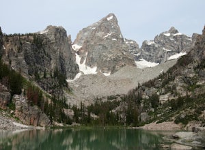
4.77.16 mi / 2365 ft gainDelta Lake is a hidden gem in one of America's busiest national parks, Grand Teton in Wyoming. On paper, Delta Lake should be a hotspot for visitors to Grand Teton with its relatively moderate distance and elevation gain which lies in the realm of most day hikers. However, this spectacular glacia...Read more -
Alta, Wyoming
Backpack the Teton Loop
34 mi / 7000 ft gainFor our loop traveling around the Grand Teton, we started at the Lupine Meadows TH going counterclockwise and that was where we finished as well. We heard that other people start other trailheads, like Death Canyon TH or Taggart Lake TH. Our goal was to finish the loop in just 2 days and 1 night,...Read more
Top Activities
Let Adventure be your Destination in Wyoming
Wyoming’s wide-open spaces make it easy to get off the grid and on a trail, through a park, into a forest, up a mountain or down a river. During your journey through Wyoming’s Black to Yellow Region, discover geologic marvels, dense evergreen forests and sprawling prairielands.
Learn More

